
MyTopo
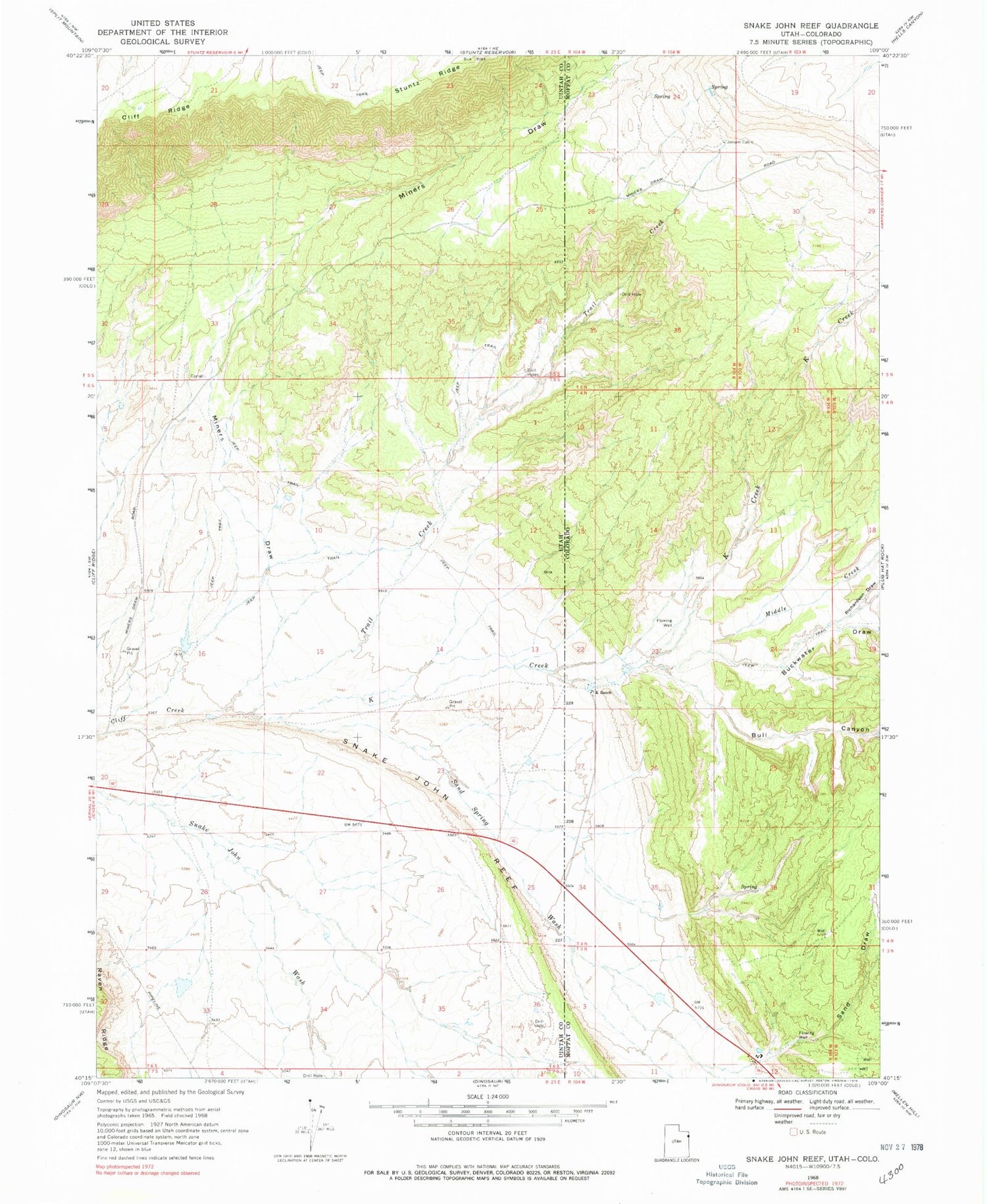
Classic USGS Snake John Reef Utah 7.5'x7.5' Topo Map
Regular price
$16.95
Regular price
Sale price
$16.95
Unit price
per
Couldn't load pickup availability
Historical USGS topographic quad map of Snake John Reef in the states of Utah, Colorado. Map scale may vary for some years, but is generally around 1:24,000. Print size is approximately 24" x 27"
This quadrangle is in the following counties: Moffat, Uintah.
The map contains contour lines, roads, rivers, towns, and lakes. Printed on high-quality waterproof paper with UV fade-resistant inks, and shipped rolled.
Contains the following named places: Buckwater Draw, Bull Canyon, Jensen Cabin, K Creek, K Ranch, Middle Creek, Miners Draw, Point of Pines Recreation Site, Richardson Draw, Sand Draw, Sand Spring Wash, Snake John Reef, Trail Creek


