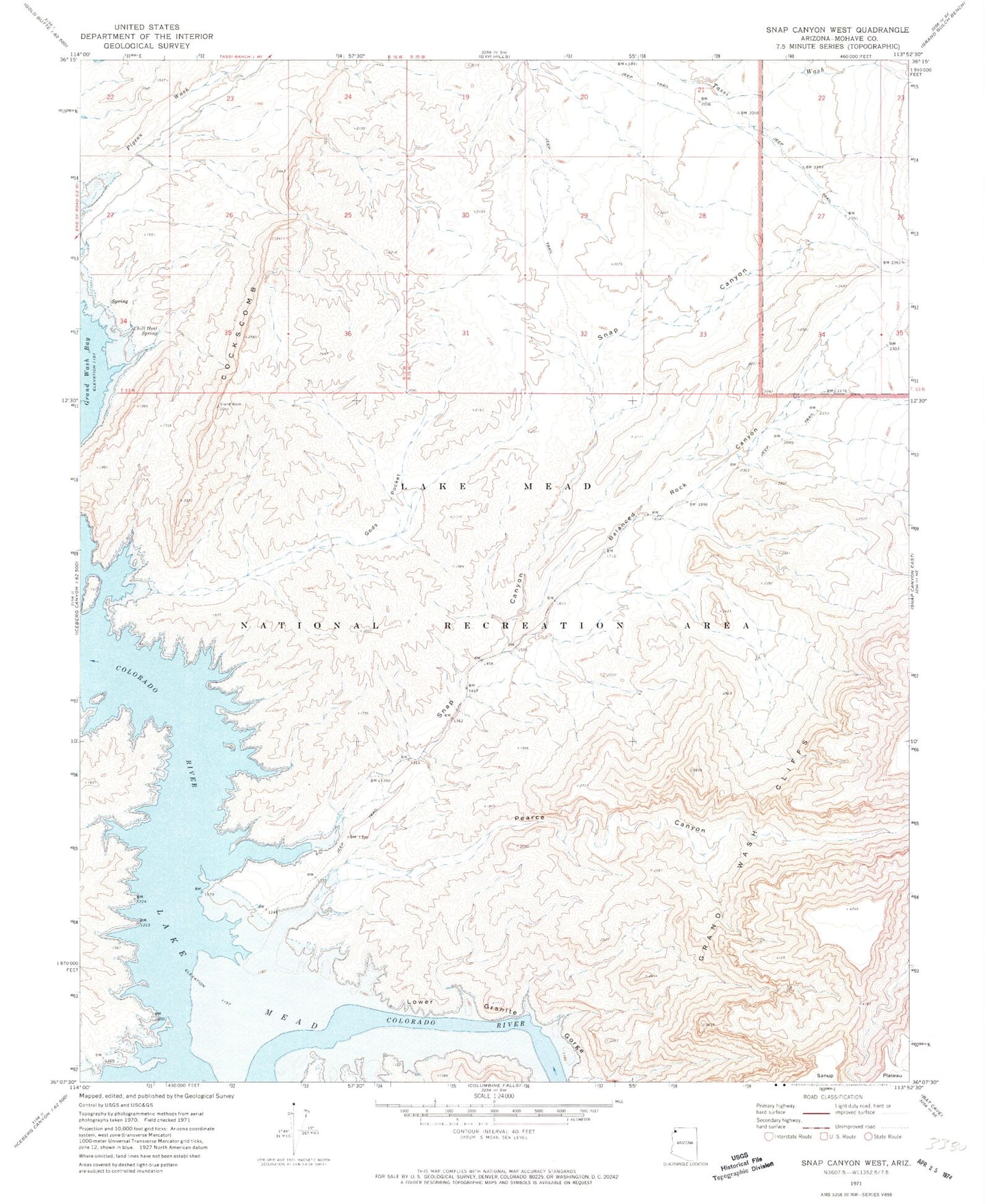
MyTopo
Classic USGS Snap Canyon West Arizona 7.5'x7.5' Topo Map
Regular price
$16.95
Regular price
Sale price
$16.95
Unit price
per
Couldn't load pickup availability
Historical USGS topographic quad map of Snap Canyon West in the state of Arizona. Map scale may vary for some years, but is generally around 1:24,000. Print size is approximately 24" x 27"
This quadrangle is in the following counties: Mohave.
The map contains contour lines, roads, rivers, towns, and lakes. Printed on high-quality waterproof paper with UV fade-resistant inks, and shipped rolled.
Contains the following named places: Balanced Rock Canyon, Bass Cove, Chill Heal Spring, Gods Pocket, Little Bass Cove, Lower Granite Gorge, Never Shines Cove, Pearce Canyon, Pearce Ferry Rapid, Pidgeon Cove, Snap Canyon, The Cockscomb