MyTopo
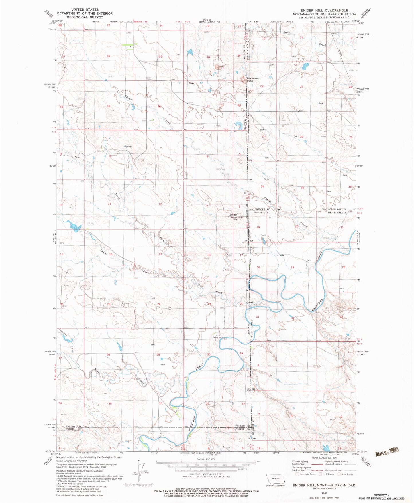
Classic USGS Snider Hill Montana 7.5'x7.5' Topo Map
Couldn't load pickup availability
Historical USGS topographic quad map of Snider Hill in the state of Montana. Map scale may vary for some years, but is generally around 1:24,000. Print size is approximately 24" x 27"
This quadrangle is in the following counties: Bowman, Carter, Fallon, Harding.
The map contains contour lines, roads, rivers, towns, and lakes. Printed on high-quality waterproof paper with UV fade-resistant inks, and shipped rolled.
Contains the following named places: 01N61E01ABBD01 Well, 02N61E23DABA01 Well, 02N61E36DADC01 Well, 14N60E14CCCC01 Well, Coal Bank Creek, Horse Creek, Knobs, Knobs Post Office, Meccage Number 3 Dam, Monument Butte, North Fork Coal Bank Creek, Sheep Creek, Snider Hill, South Fork Coal Bank Creek, Squabble Creek