MyTopo
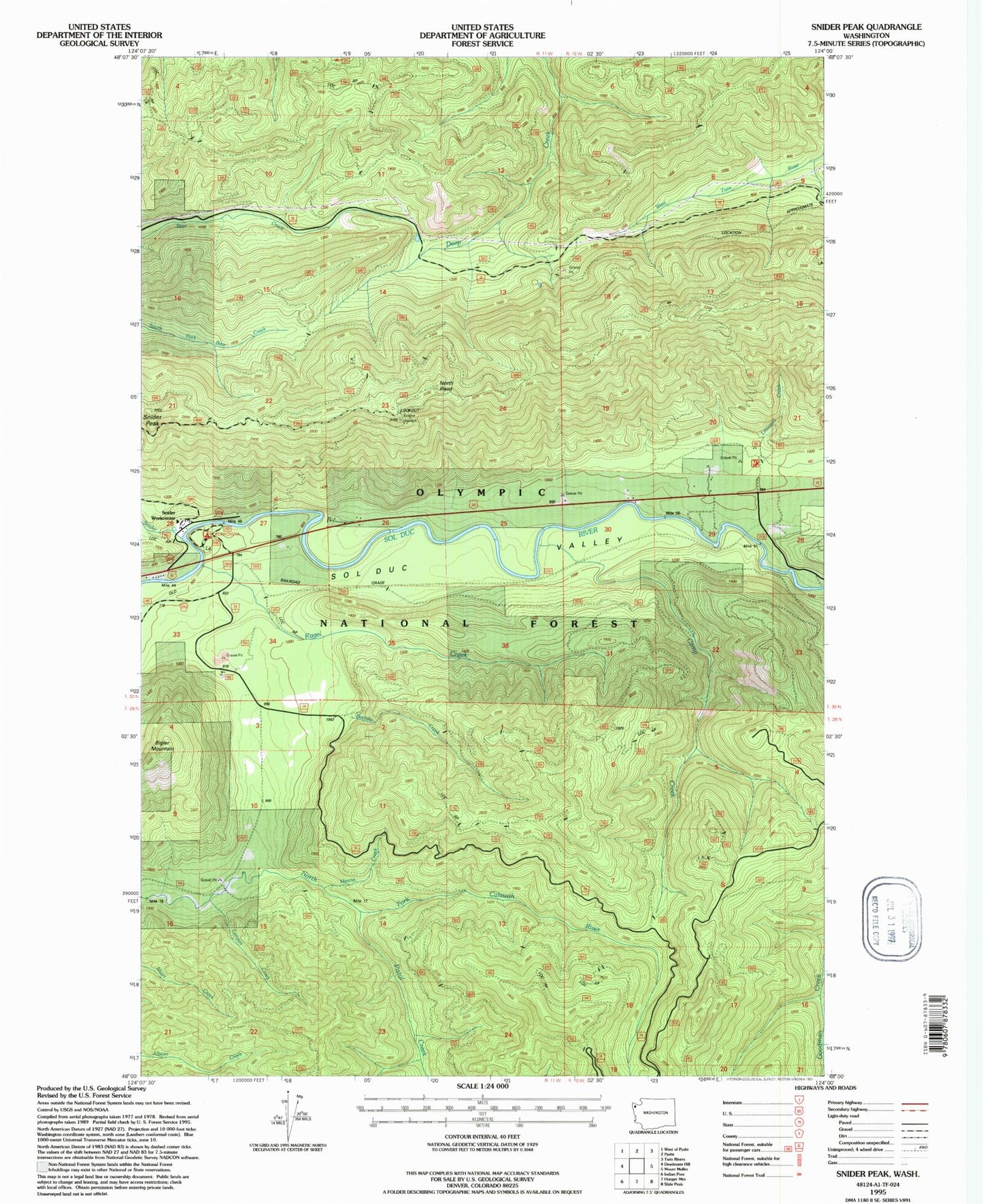
Classic USGS Snider Peak Washington 7.5'x7.5' Topo Map
Couldn't load pickup availability
Historical USGS topographic quad map of Snider Peak in the state of Washington. Map scale may vary for some years, but is generally around 1:24,000. Print size is approximately 24" x 27"
This quadrangle is in the following counties: Clallam.
The map contains contour lines, roads, rivers, towns, and lakes. Printed on high-quality waterproof paper with UV fade-resistant inks, and shipped rolled.
Contains the following named places: Bigler Mountain, Bonidu Creek, Camp Creek, Canyon Creek, Deep Creek Guard Station, Hanna Creek, Klahowa Campground, Kloshe Nanitch, Kloshe Nanitch Lookout, Kugel Creek, Littleton Creek, North Point, North Point Lookout, Pistol Creek, Snider Creek, Snider Forest Service Station, Snider Peak, Soleduck Ranger District