MyTopo
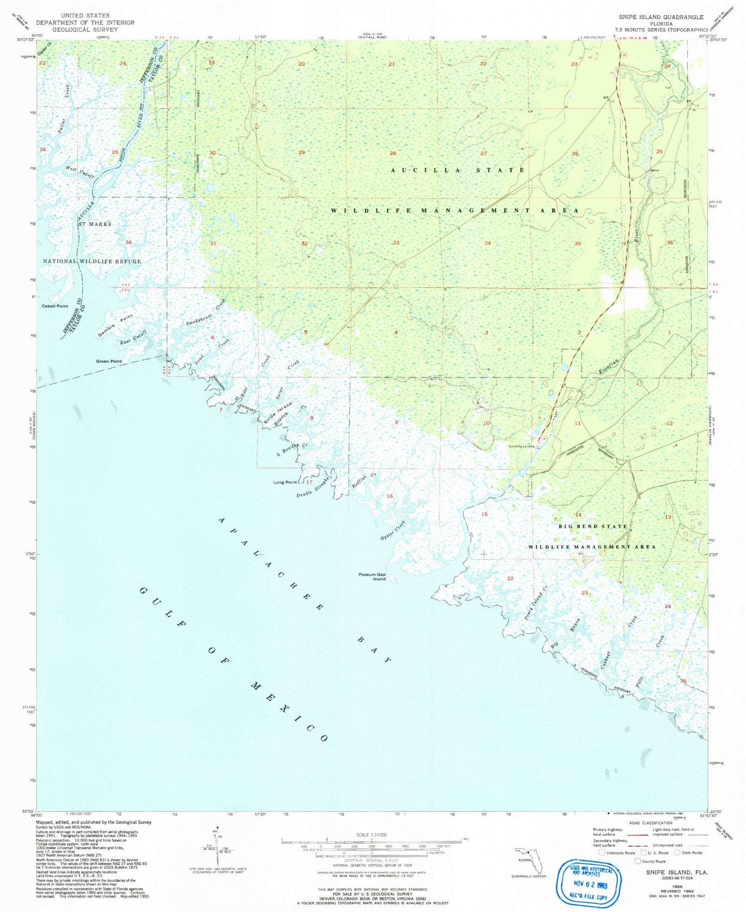
Classic USGS Snipe Island Florida 7.5'x7.5' Topo Map
Couldn't load pickup availability
Historical USGS topographic quad map of Snipe Island in the state of Florida. Map scale may vary for some years, but is generally around 1:24,000. Print size is approximately 24" x 27"
This quadrangle is in the following counties: Jefferson, Taylor.
The map contains contour lines, roads, rivers, towns, and lakes. Printed on high-quality waterproof paper with UV fade-resistant inks, and shipped rolled.
Contains the following named places: Atawalia, Aucilla River, Big Bayou, Bowden Creek, Cabbage Creek, Cabell Point, Double Sloughs, East Cutoff, Econ Fina Volunteer Fire Department, Econfina Landing, Econfina River, Econfina River State Park, Gamble Point, Green Point, L Bowden Creek, Long Point, Mandalay, Oyster Creek, Pearly Island Creek, Pitts Creek, Possum Gap Island, Redfish Creek, Rose Creek, San Francisco de Oconi, Sand Creek, Smokehouse Creek, Snipe Creek, Snipe Island, Sulfur Creek, West Cutoff


