MyTopo
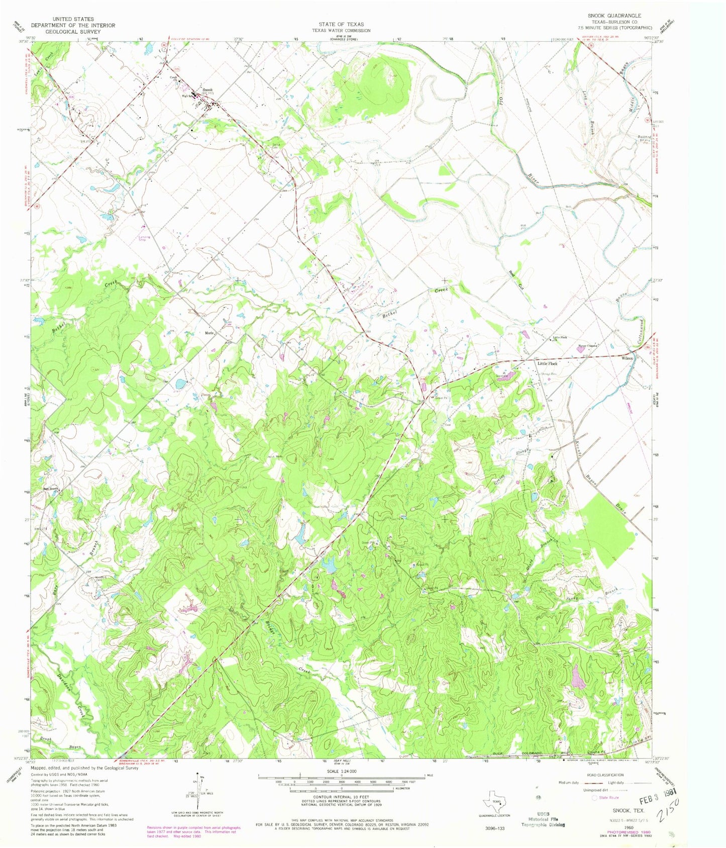
Classic USGS Snook Texas 7.5'x7.5' Topo Map
Couldn't load pickup availability
Historical USGS topographic quad map of Snook in the state of Texas. Map scale may vary for some years, but is generally around 1:24,000. Print size is approximately 24" x 27"
This quadrangle is in the following counties: Burleson.
The map contains contour lines, roads, rivers, towns, and lakes. Printed on high-quality waterproof paper with UV fade-resistant inks, and shipped rolled.
Contains the following named places: Bare Branch, Bare Branch Church, Bethel Creek, Burleson County Constable's Office Precinct 2, City of Snook, Cottonwood Bayou, Czech Church, Gourd Branch, Grassy Slough, Hutchings Dam, Hutchings Lake, Koontz Bayou Drain, Little Flock, Little Flock Church, Long Branch, Merle, Money Chapel, Old River Division, Red Cut, Rough Bayou, Sandy Branch, Schutte Lake, Schutte Lake Dam, Snock Cemetery, Snook, Snook Post Office, Snook Volunteer Fire Department, Wilcox, Woodfork Cemetery, ZIP Codes: 77878, 77879