MyTopo
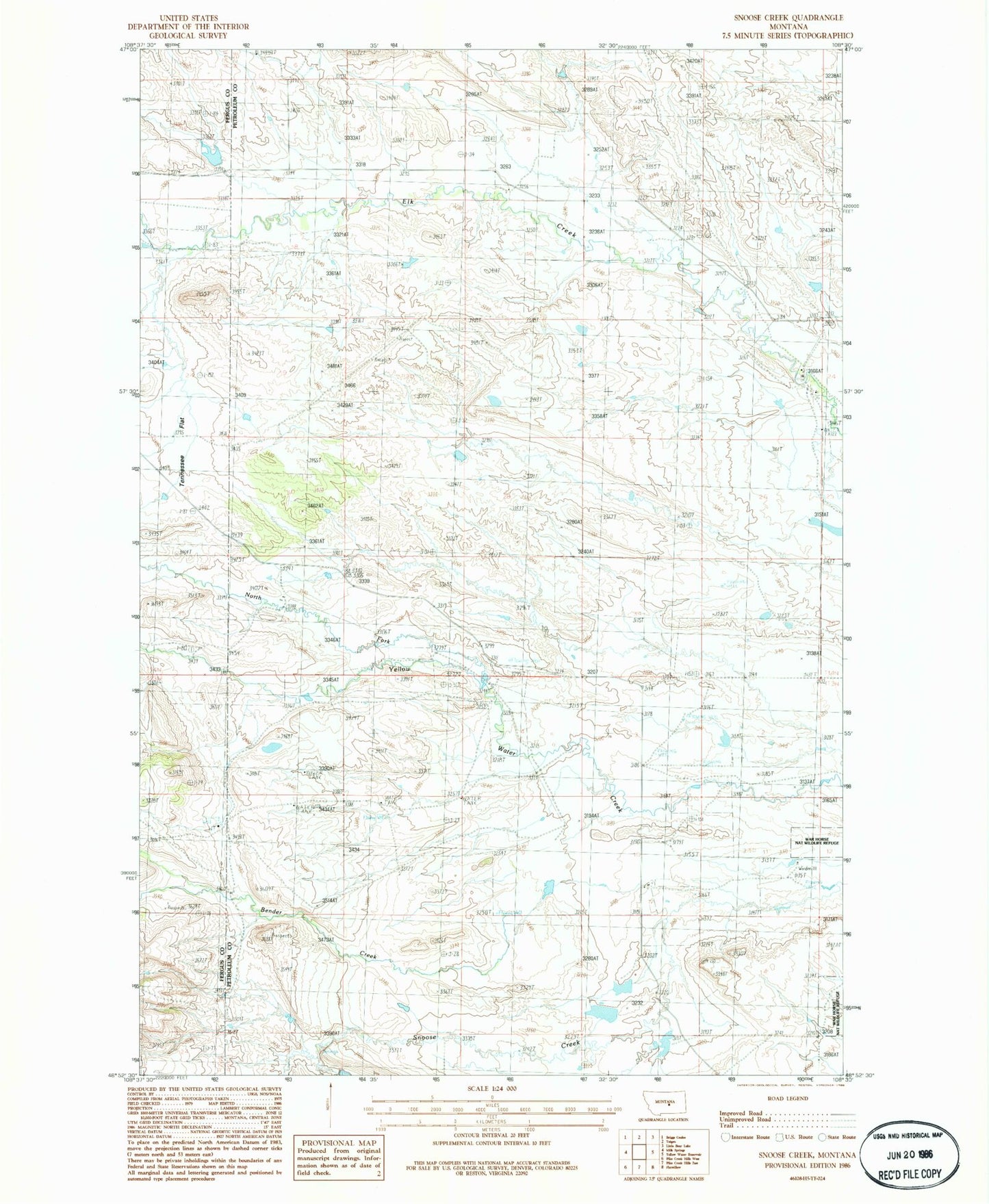
Classic USGS Snoose Creek Montana 7.5'x7.5' Topo Map
Couldn't load pickup availability
Historical USGS topographic quad map of Snoose Creek in the state of Montana. Map scale may vary for some years, but is generally around 1:24,000. Print size is approximately 24" x 27"
This quadrangle is in the following counties: Fergus, Petroleum.
The map contains contour lines, roads, rivers, towns, and lakes. Printed on high-quality waterproof paper with UV fade-resistant inks, and shipped rolled.
Contains the following named places: 13N24E12DDA_01 Well, 13N25E03DBA_01 Well, 13N25E09CD__01 Well, 13N25E10DCB_01 Well, 13N25E18____01 Well, 14N25E23ACD_01 Well, 14N25E23DD__01 Well, Bender Creek, Carmichael School, J Schultz Number 1 Dam, North Fork Yellow Water Creek, Pineview School, Stroup School, Tennessee Flat, Yellow Water School