MyTopo
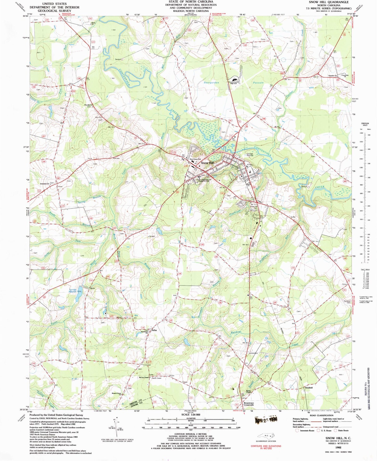
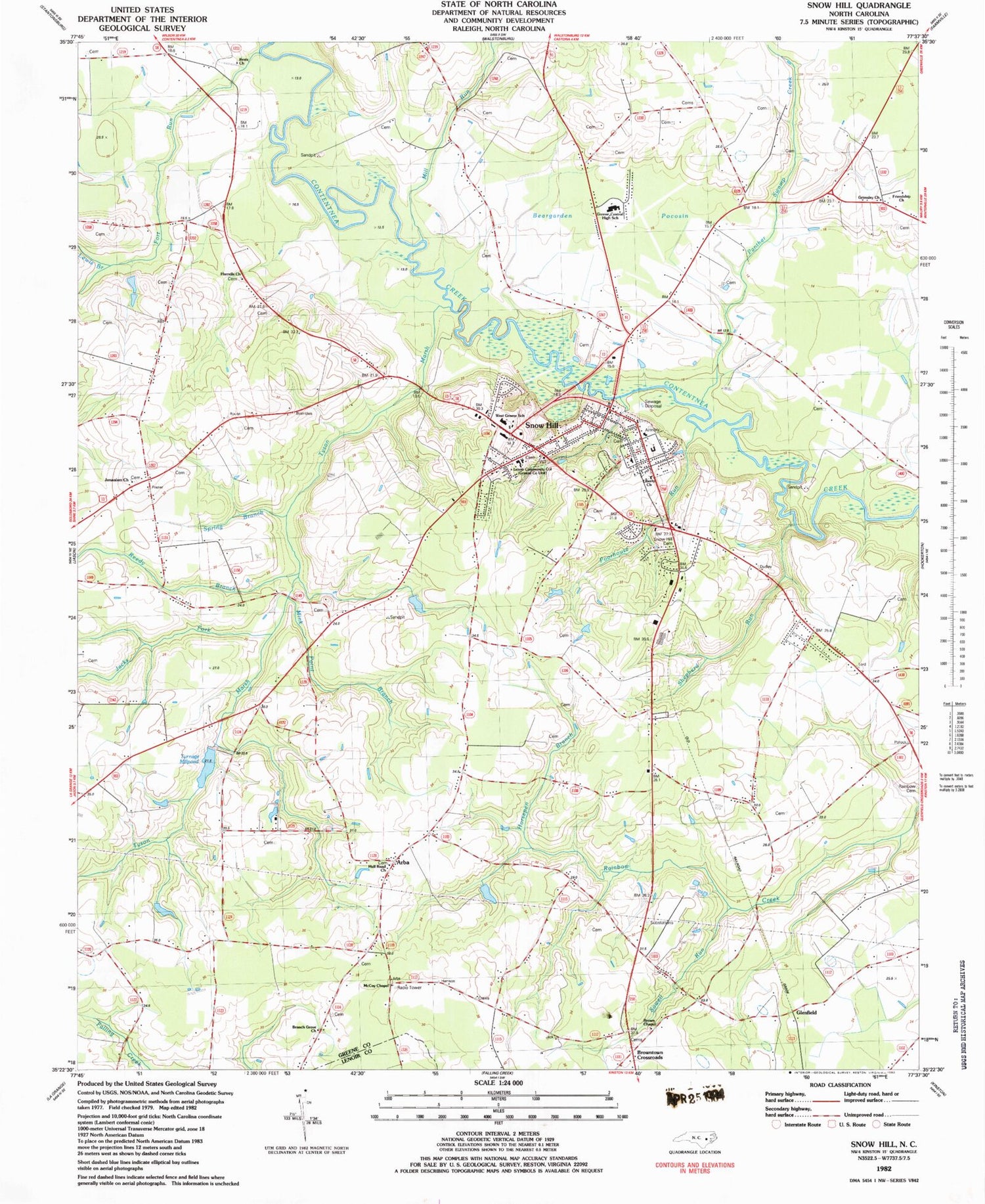
Classic USGS Snow Hill North Carolina 7.5'x7.5' Topo Map
Couldn't load pickup availability
Historical USGS topographic quad map of Snow Hill in the state of North Carolina. Map scale may vary for some years, but is generally around 1:24,000. Print size is approximately 24" x 27"
This quadrangle is in the following counties: Greene, Lenoir.
The map contains contour lines, roads, rivers, towns, and lakes. Printed on high-quality waterproof paper with UV fade-resistant inks, and shipped rolled.
Contains the following named places: Arba, Arba Rural Volunteer Fire Department - Rescue and Emergency Medical Services, Beargarden Pocosin, Bests Church, Branch Grove Church, Brown Chapel, Browntown Crossroads, Friendship Church, Glenfield, Green County Juvenile Restitution, Greene Central High School, Greene Central Junior High School, Greene County, Greene County Emergency Services, Greene County Sheriff's Office, Grimsley Church, Harrells Church, Hill View, Horsepen Branch, Hull Road Church, Jacks Fork, Jerusalem Church, Lenoir Community College - Snow Hill, Lewis Branch, Liberty Church, McCoy Chapel, Mill Run, Mink Point Branch, Newbern School, North Carolina State Highway Patrol Troop C District 5 Substation, Panther Swamp Creek, Poorhouse Run, Reedy Branch, Shepherd Run, Snow Hill, Snow Hill Cemetery, Snow Hill Elementary School, Snow Hill Emergency Medical Services, Snow Hill Post Office, Snow Hill Rural Volunteer Fire Department, Sowell Run, Spring Branch, Suggs School, Suggs Siding, Town of Snow Hill, Township of Jason, Township of Snow Hill, Turnage Millpond, Turnage Millpond Dam, Tyson Marsh, Washington Branch, West Greene School, Whiteoaks School, ZIP Code: 28580


