MyTopo
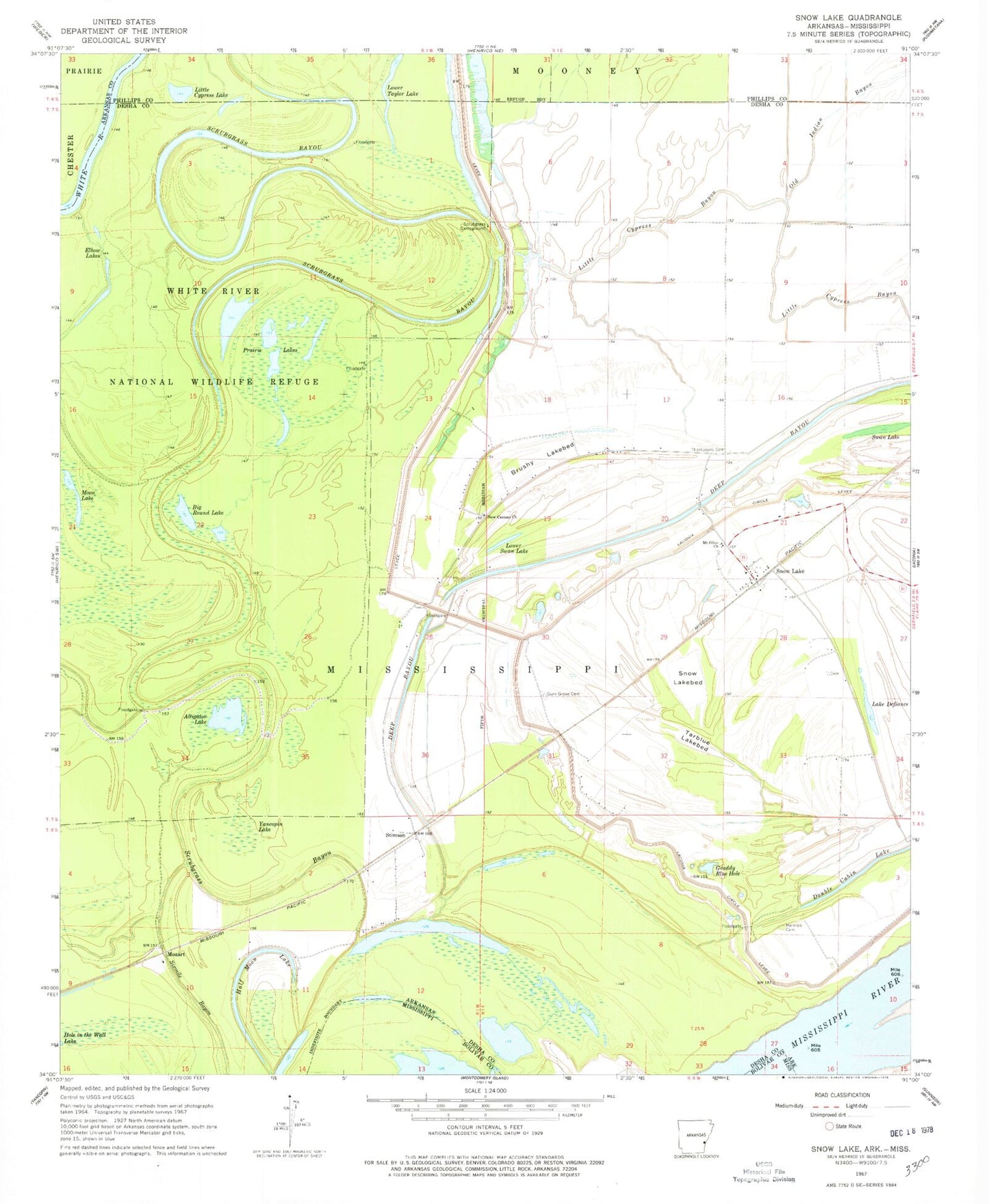
Classic USGS Snow Lake Arkansas 7.5'x7.5' Topo Map
Couldn't load pickup availability
Historical USGS topographic quad map of Snow Lake in the state of Arkansas. Typical map scale is 1:24,000, but may vary for certain years, if available. Print size: 24" x 27"
This quadrangle is in the following counties: Arkansas, Bolivar, Desha, Phillips.
The map contains contour lines, roads, rivers, towns, and lakes. Printed on high-quality waterproof paper with UV fade-resistant inks, and shipped rolled.
Contains the following named places: Brushy Lakebed, Deep Bayou, Gum Grove Cemetery, Laconia Circle, Laconia Circle Levee, Little Cypress Bayou, Mount Olive Church, Old Indian Bayou, Scrubgrass Campground, Snow Lakebed, Tarblue Lakebed, Thompsons Cemetery, Yancopin Lake, Mozart, Stimson, Snow Lake Baptist Church, New Cane School (historical), Bear Lake (historical), Snow Lake (historical), Tarblue Lake (historical), Henrico (historical), Township of Mississippi, Henrico Bar, Henrico Cemetery, Lower Taylor Lake, Alligator Lake, Big Round Lake, Lake Defiance, Elbow Lakes, Graddy Blue Hole, Half Moon Lake, Little Cypress Lake, Lower Swan Lake, Moon Lake, Prairie Lakes, Swan Lake, New Canaan Church, Sixmile Bayou, Snow Lake, Snow Lake Post Office


