MyTopo
Classic USGS Snow Shoe NW Pennsylvania 7.5'x7.5' Topo Map
Couldn't load pickup availability
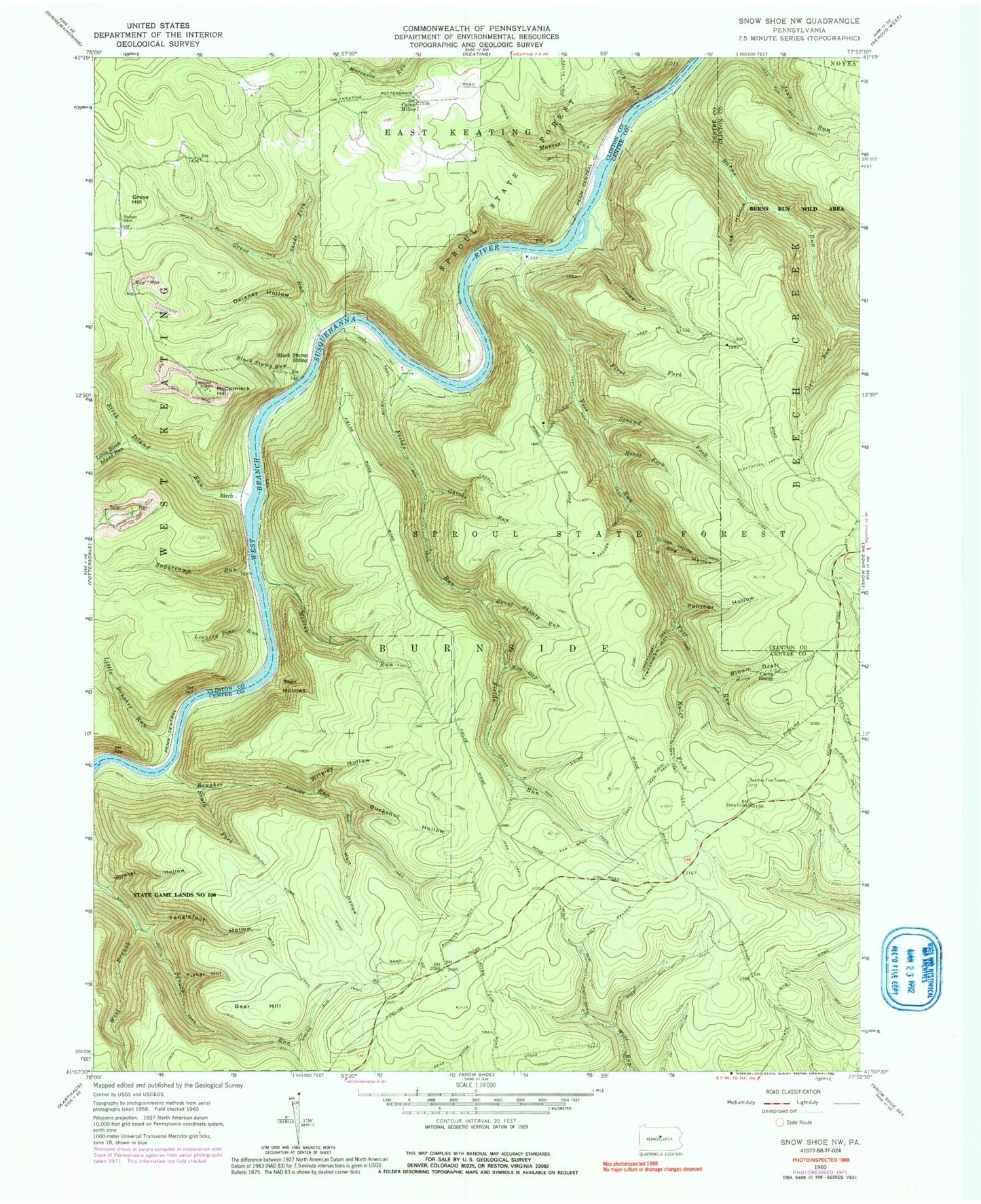
Historical USGS topographic quad map of Snow Shoe NW in the state of Pennsylvania. Typical map scale is 1:24,000, but may vary for certain years, if available. Print size: 24" x 27"
This quadrangle is in the following counties: Centre, Clinton.
The map contains contour lines, roads, rivers, towns, and lakes. Printed on high-quality waterproof paper with UV fade-resistant inks, and shipped rolled.
Contains the following named places: Bear Hill, Birch Island Run, Black Stump Run, Black Stump Siding, Bog Ore Run, Bougher Run, Bougher Run Trail, Buckshot Hollow, Burns Run, Burnt Shanty Run, Camp Bloom, Camp Miller, Delaney Hollow, Dry Run, Eddy Lick Trail, Fields Run, First Fork, Fisher Hollow, Frenchman Hollow, Frenchman Trail, Gaines Run, Grove Hill, Grove Run, Har Brac Trail, Holt Hollow, Horse Fork, Ju Hollow Trail, Kellys Field Trail, Kyler Fork, Kyler Trail, Leaning Pine Run, Little Birch Island Run, Little Bougher Run, Log Hollow, Log Hollow, McCormack Hill, Moores Run, Morris Run, Owl Run, Panther Fire Tower, Panther Hollow, Plantation Trail, Second Fork, Shade Fork, South Fork Bougher Run, Spruce Run, Spruce Run Trail, State Camp, Sugarcamp Run, Tanglefoot Hollow, Wildcat Hollow, Wolf Branch Trail, Wrigley Hollow, Bloom Draft, Bloom Draft Trail, Fields Run Trail, Grove Run Trail, J U Hollow Trail, Jews Run Jeep Trail, Log Hollow Trail, Lonely Trail, Morris Run Trail, Packer Trail, Panther Run Trail, Perry Trail, West Branch Spruce Run, Yost Run Trail, Pine Camp (historical), Elderton Camp, West View Camp, Gaines (historical), Zanmore (historical), Walnut Bottom Camp (historical), Birch, Twin Hollows, Township of Burnside, Nelsonville Cemetery


