MyTopo
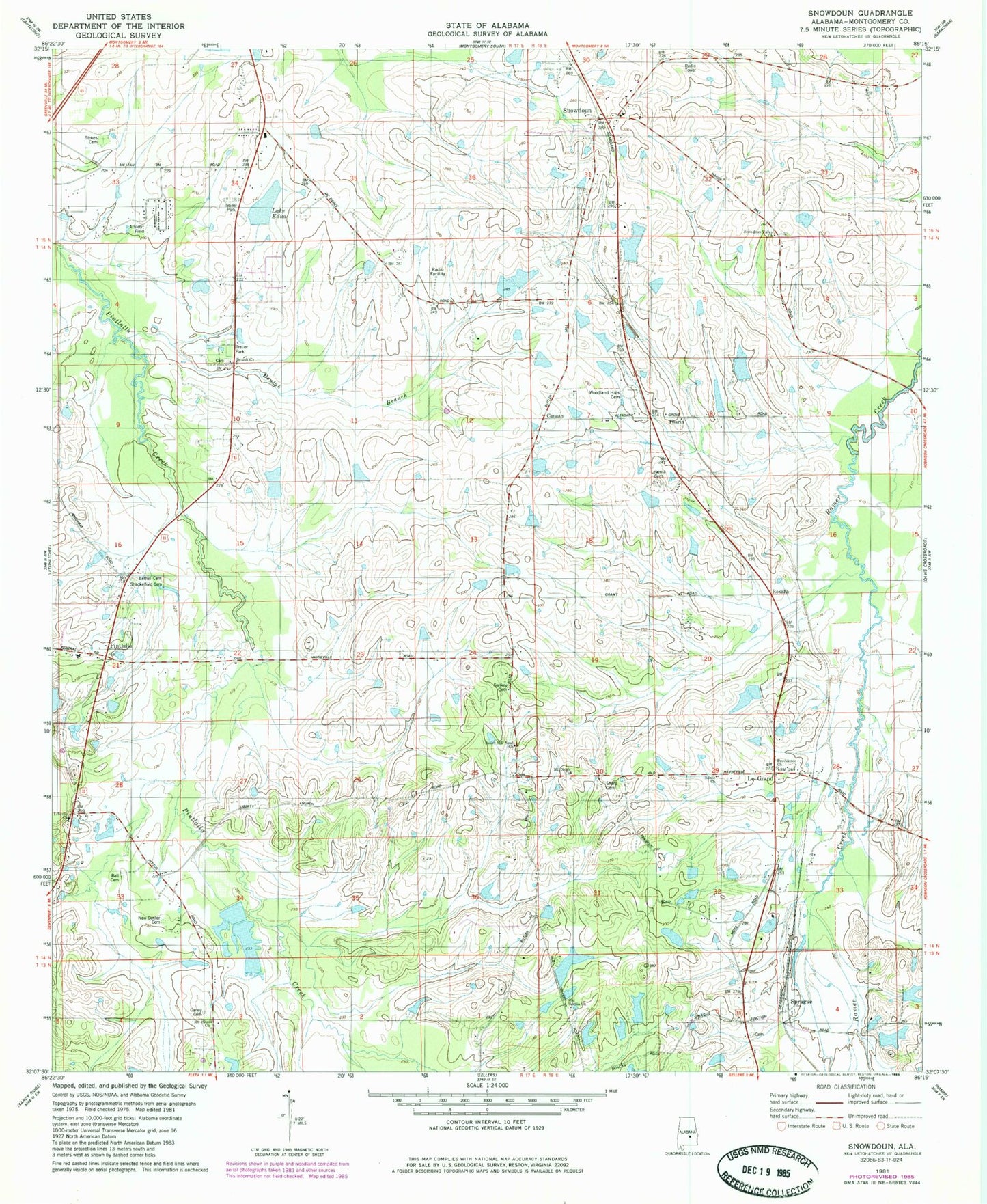
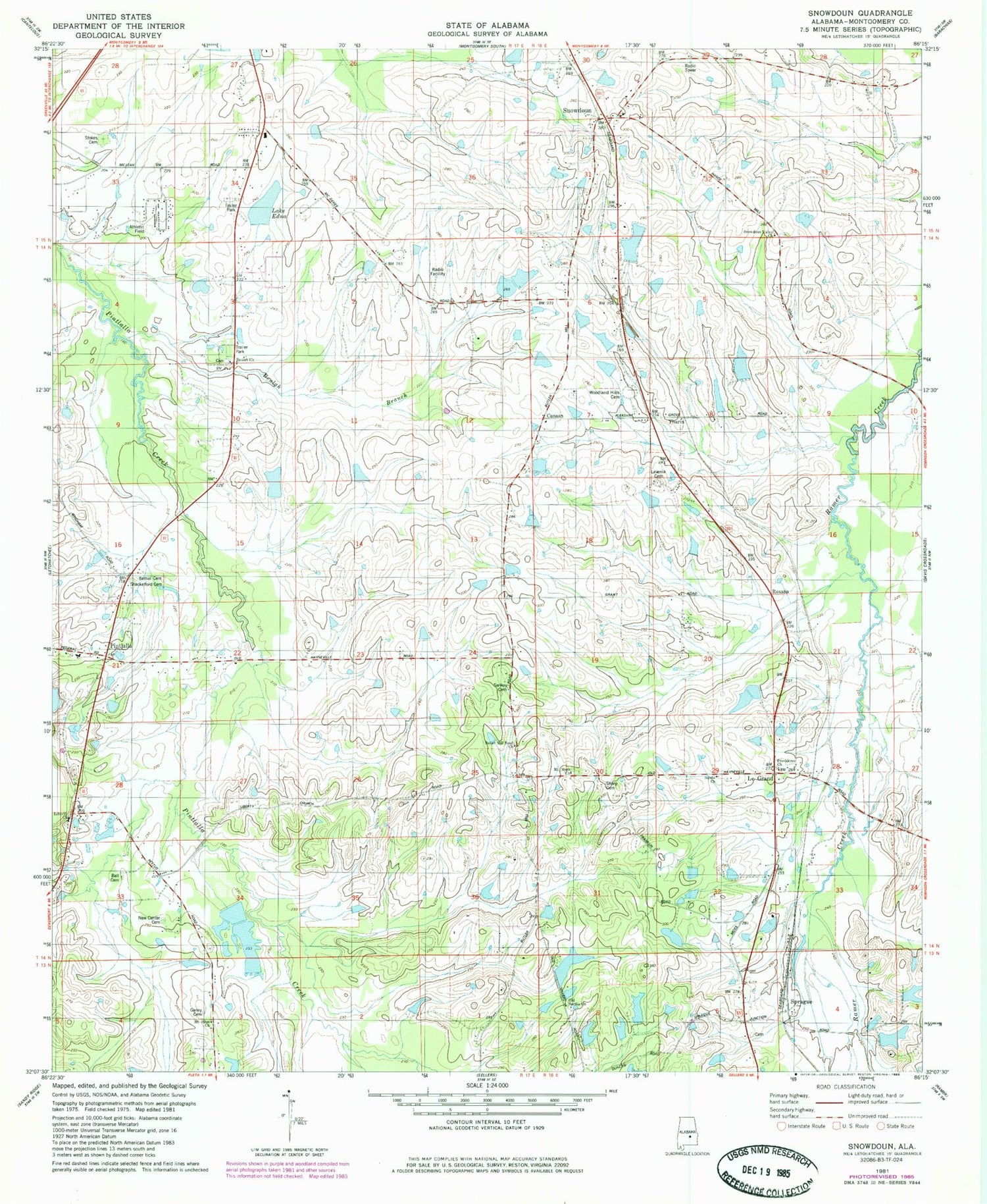
Classic USGS Snowdoun Alabama 7.5'x7.5' Topo Map
Couldn't load pickup availability
Historical USGS topographic quad map of Snowdoun in the state of Alabama. Map scale may vary for some years, but is generally around 1:24,000. Print size is approximately 24" x 27"
This quadrangle is in the following counties: Montgomery.
The map contains contour lines, roads, rivers, towns, and lakes. Printed on high-quality waterproof paper with UV fade-resistant inks, and shipped rolled.
Contains the following named places: Ball Cemetery, Bethel Cemetery, Beulah Church, Butler Mill Church, Butler Mill Road Church, Canaan, Davis Lakes Number One, Davis Number One Dam, Duggar Dam, Edward Myers Dam, Edwards Ponds, Faulkner Dam, Faulkner Lake, Flowers Dam, Flowers Lake, Ganey Cemetery, Gormley Farm, Griggs Ponds, Hall Dam, Hall Lake, Hill and Hill Dam, Hill and Hill Lake, Hope Hull Church, Hope Hull Division, Hubie Cauthen Number 1 Dam, Hubie Cauthen Number 2 Dam, Hubie Cauthen Number One Lake, Hubie Cauthen Number Two Lake, Hunting Downs, Lake Edna, Lake Wallock, Lake Weil, Lassiter Dam, Lassiter Lake, Le Grand, Liberty Church, McLean Junior High School, Mount Moab Church, Mount Sinai Church, Myers Number 2 Dam, Myers Number Two Lake, New Center Cemetery, Old Sardis Church, Phillips School, Pine Needles, Pintlala, Pintlala Elementary School, Pintlala Volunteer Fire Department Station 1, Pintlalla Church, Pirtle Dam, Pirtle Lake, Providence Church, Roxana, Roxana School, Sankey Cemetery, Sardis Church, Shackelford Cemetery, Sharp Cemetery, Sims Lake Number One, Sims Lake Number Two, Sims Number 1 Dam, Sims Number 2 Dam, Snowdoun, Snowdoun Valley Church, Snowdoun Volunteer Fire Department Sprague Station, Snowdoun Volunteer Fire Department Station 1, Snowdown Church, Soapstone, Sprague, Sprague Cemetery, Stallings Dam, Stallings Lake, Strokes Cemetery, Tankersley School, Tharin, Weil Dam, Woodland Hills Cemetery, ZIP Code: 36105


