MyTopo
Classic USGS Snowflake Arizona 7.5'x7.5' Topo Map
Couldn't load pickup availability
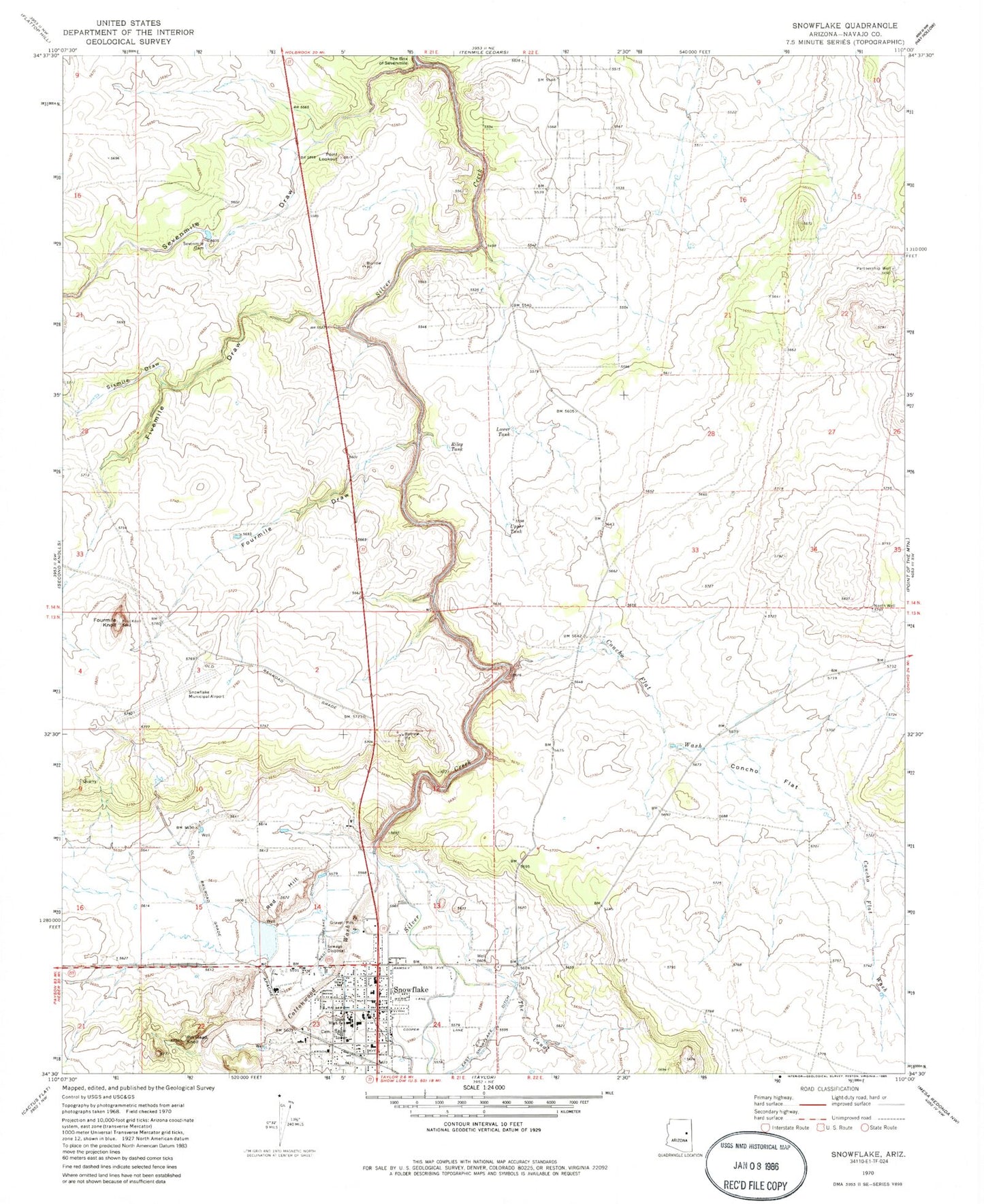
Historical USGS topographic quad map of Snowflake in the state of Arizona. Map scale may vary for some years, but is generally around 1:24,000. Print size is approximately 24" x 27"
This quadrangle is in the following counties: Navajo.
The map contains contour lines, roads, rivers, towns, and lakes. Printed on high-quality waterproof paper with UV fade-resistant inks, and shipped rolled.
Contains the following named places: Carriage House on West Garden Lane Assisted Living Center, Concho Flat, Concho Flat Wash, Cottonwood Wash, East Snowflake Ditch, Fivemile Draw, Fourmile Draw, Fourmile Knoll, Highland Primary School, Lower Tank, North Well, Partnership Well, Pin Head Knoll, Point Lookout, Red Hill, Riley Tank, Sevenmile Dam, Sevenmile Draw, Silver Creek Community Bible Church, Sixmile Draw, Snowflake, Snowflake - Taylor Police Department, Snowflake - Taylor Public Library, Snowflake Elementary School, Snowflake Fire Department, Snowflake High School, Snowflake Intermediate School, Snowflake Municipal Airport, Snowflake Municipal Golf Course, The Box of Sevenmile, The Canal, The Church of Jesus Christ of Latter Day Saints, Town of Snowflake, Town of Snowflake Wastewater Treatment Plant, Upper Tank, Valley View Southern Baptist Church, West Snowflake Ditch, ZIP Code: 85937


