MyTopo
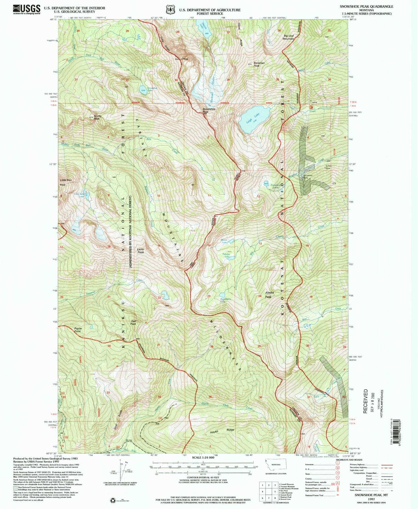
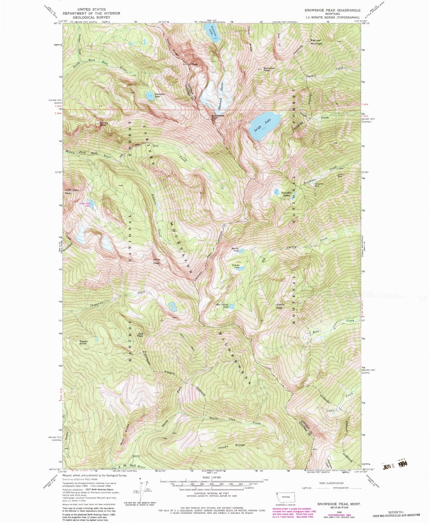
Classic USGS Snowshoe Peak Montana 7.5'x7.5' Topo Map
Couldn't load pickup availability
Historical USGS topographic quad map of Snowshoe Peak in the state of Montana. Typical map scale is 1:24,000, but may vary for certain years, if available. Print size: 24" x 27"
This quadrangle is in the following counties: Lincoln, Sanders.
The map contains contour lines, roads, rivers, towns, and lakes. Printed on high-quality waterproof paper with UV fade-resistant inks, and shipped rolled.
Contains the following named places: Cabinet Mountains, Martin Lake, A Peak, Alaska Peak, Big Cherry Lake, Big Loaf Mountain, Bighorn Creek, Blackwell Glacier, Bockman Peak, Cabinet Mountains Wilderness, Dad Peak, Devils Club Creek, Goat Rocks, Granite Lake, Hayes Ridge, Ibex Creek, Leigh Lake, Lentz Peak, Little Ibex Peak, Poplar Point, Saint Paul Mine, Scotty Peak, Snowshoe Lake, Snowshoe Lakes, Snowshoe Mine, Snowshoe Peak, Tahoka Lake, Verdun Creek, Vimy Ridge, Big Sky Mine, Silver Cable Mine, Little Ibex Lake, Snowshoe Post Office (historical), Snowshoe (historical), North Fork East Fork Bull River


