MyTopo
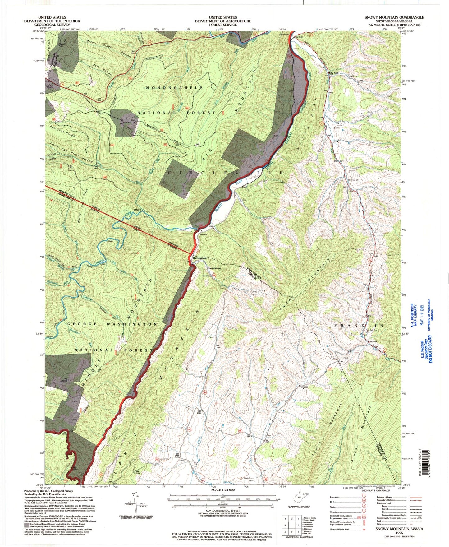
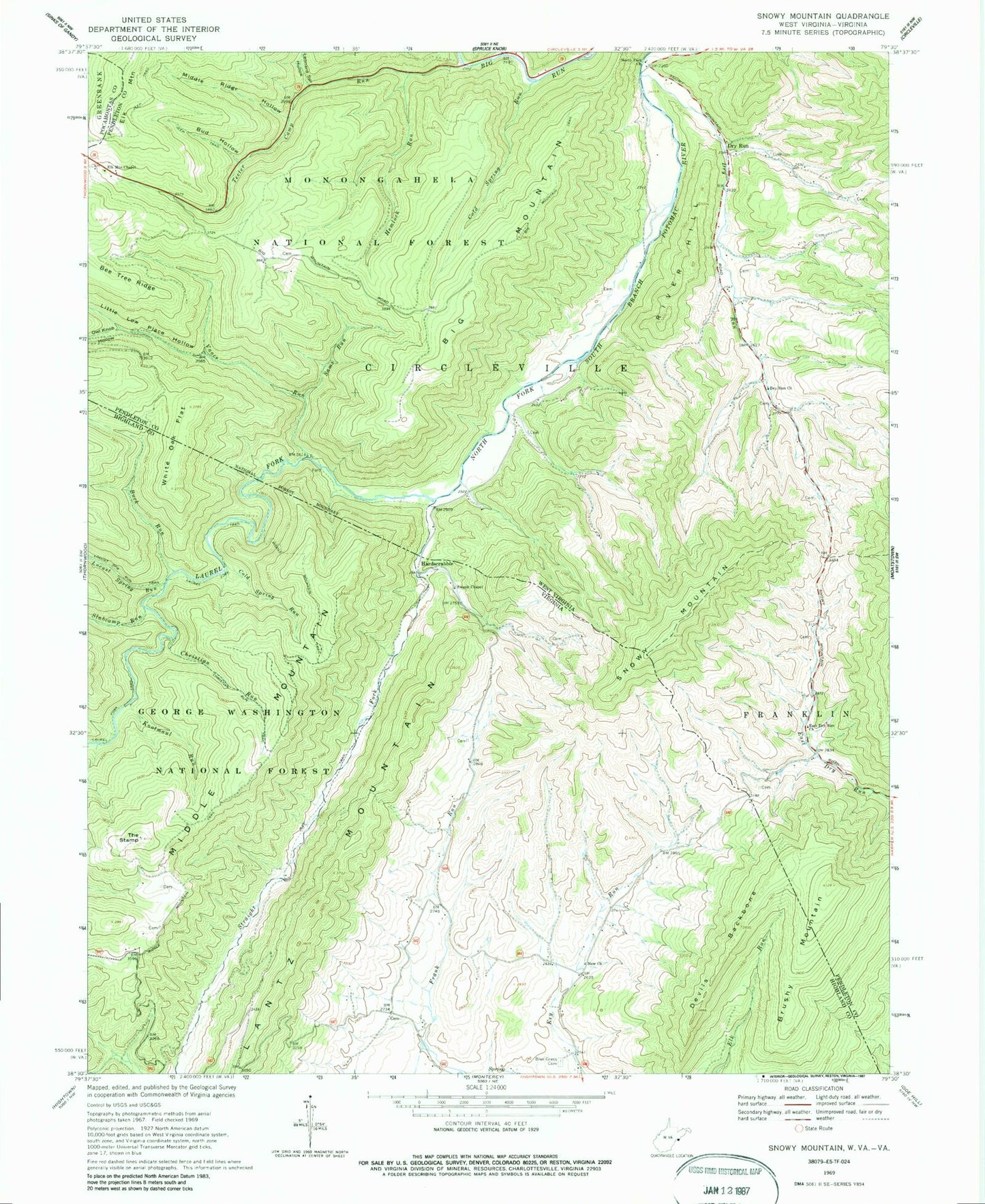
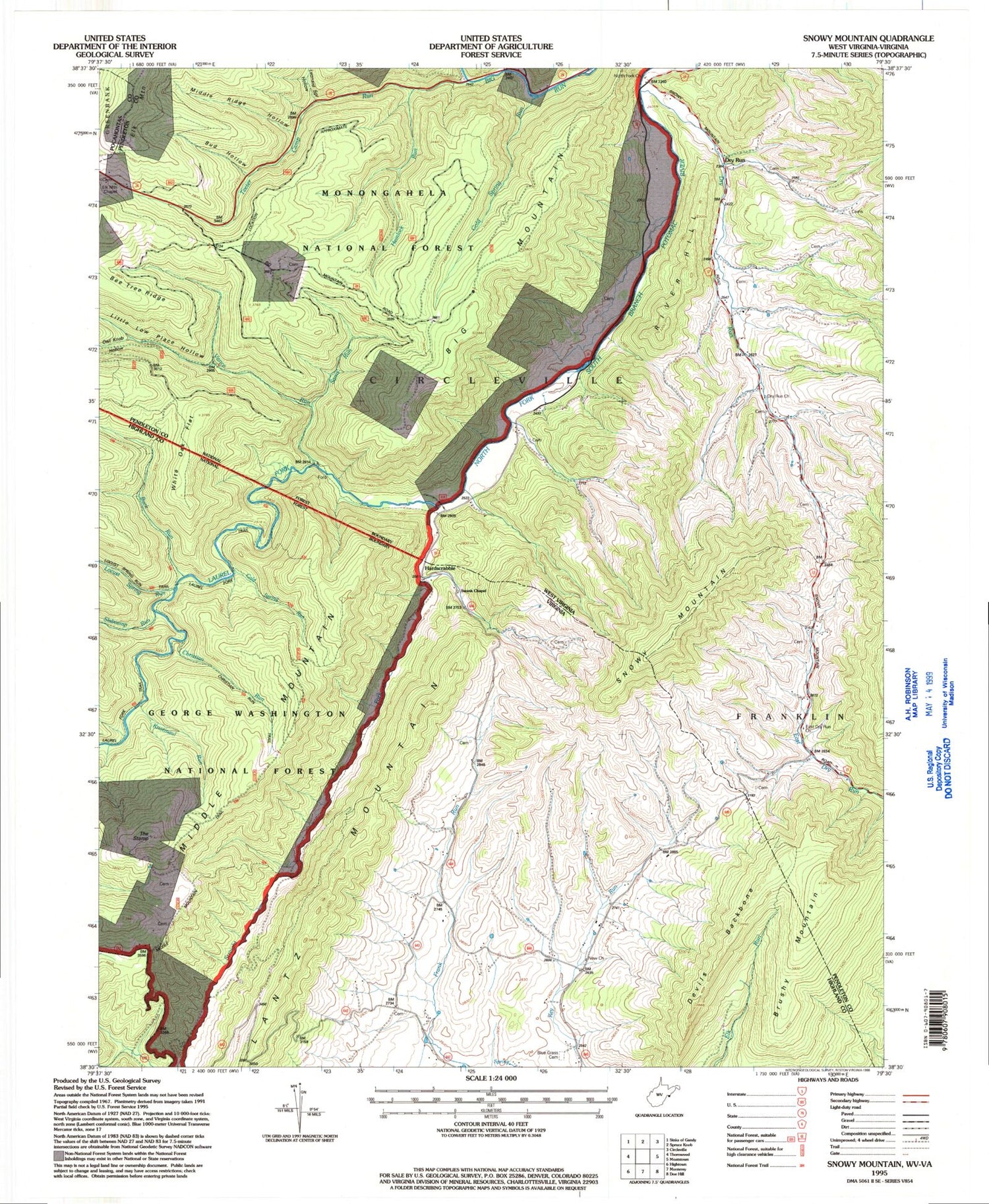
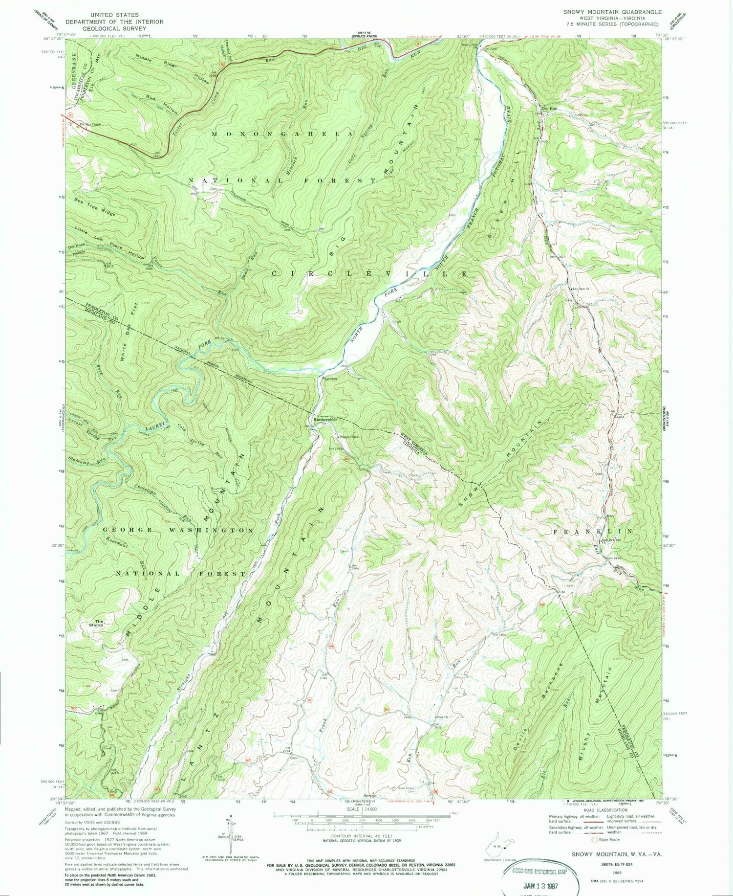
Classic USGS Snowy Mountain West Virginia 7.5'x7.5' Topo Map
Couldn't load pickup availability
Historical USGS topographic quad map of Snowy Mountain in the states of West Virginia, Virginia. Typical map scale is 1:24,000, but may vary for certain years, if available. Print size: 24" x 27"
This quadrangle is in the following counties: Highland, Pendleton, Pocahontas.
The map contains contour lines, roads, rivers, towns, and lakes. Printed on high-quality waterproof paper with UV fade-resistant inks, and shipped rolled.
Contains the following named places: Brushy Mountain, Laurel Fork, Snowy Mountain, Bee Tree Ridge, Big Mountain, Big Mountain Trail, Bud Hollow, Cold Spring Run, Dry Run, Dry Run, Dry Run Church, East Dry Run Church, Elk Mountain Chapel, Hemlock Run, Laurel Fork, Leonard Spring Hollow, Little Low Place Hollow, Middle Ridge Hollow, North Fork Church, Owl Knob Hollow, Sams Run, Sawmill Branch, Straight Fork, Teeter Camp Run, Vance Run, River Hill, Cold Spring, Hendrick Farm Spring, Blue Grass, Blue Grass Cemetery, Bluegrass Valley, Buck Run, Christian Run, Christian Run Trail, Cold Spring Run, Devils Backbone, Knotmaul Run, Laurel Fork Trail, Locust Spring Run, Middle Mountain, Middle Mountain Trail, New Church, Slabcamp Run, Straight Fork, Swank Chapel, The Stamp, White Oak Flat, Hardscrabble


