MyTopo
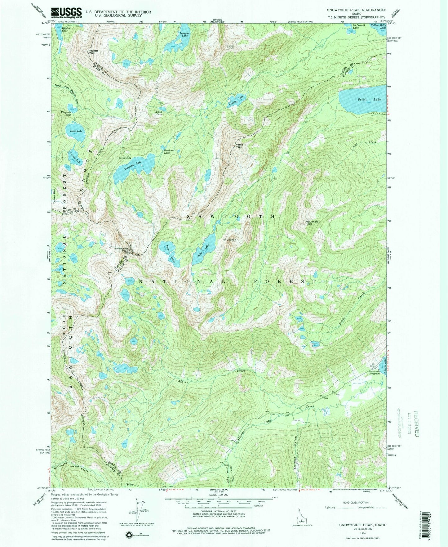
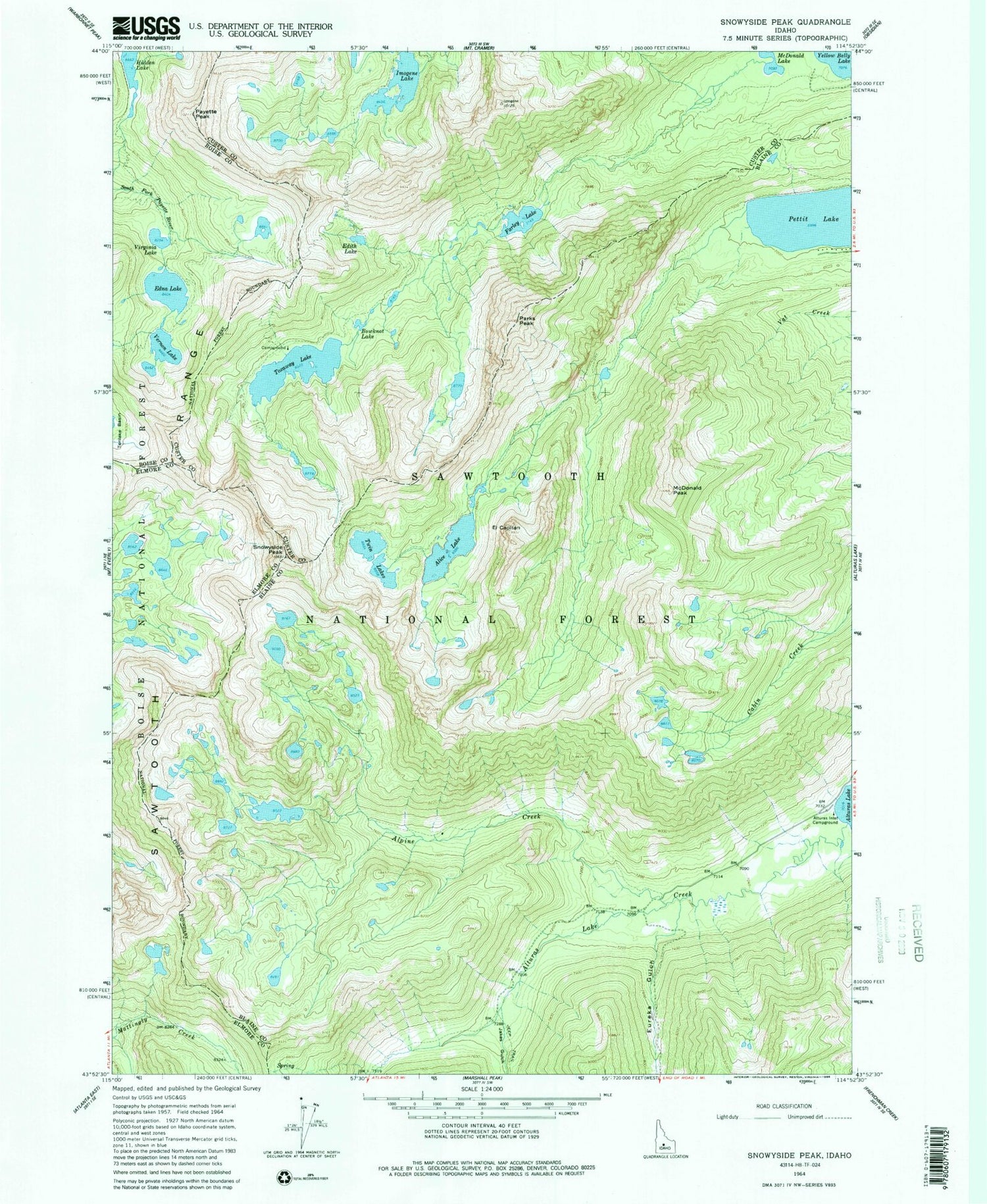
USGS Classic Snowyside Peak Idaho 7.5'x7.5' Topo Map
Couldn't load pickup availability
Historical USGS topographic quad map of Snowyside Peak in the state of Idaho. Scale: 1:24000. Print size: 24" x 27"
This quadrangle is in the following counties: Blaine, Boise, Custer, Elmore.
The map contains contour lines, roads, rivers, towns, lakes, and grids including latitude / longitude and UTM / MGRS. Printed on high-quality waterproof paper with UV fade-resistant inks.
Contains the following named places: Alice Lake, Alpine Creek, Alturas Inlet Campground, Bowknot Lake, Edith Lake, Edna Lake, El Capitan, Eureka Gulch, Farley Lake, Imogene Lake, Jakes Gulch, McDonald Lake, McDonald Peak, Payette Peak, Pettit Lake, Toxaway Lake, Twin Lakes, Virginia Lake, Heart Lake, Parks Peak, Snowyside Peak, Vernon Lake