MyTopo
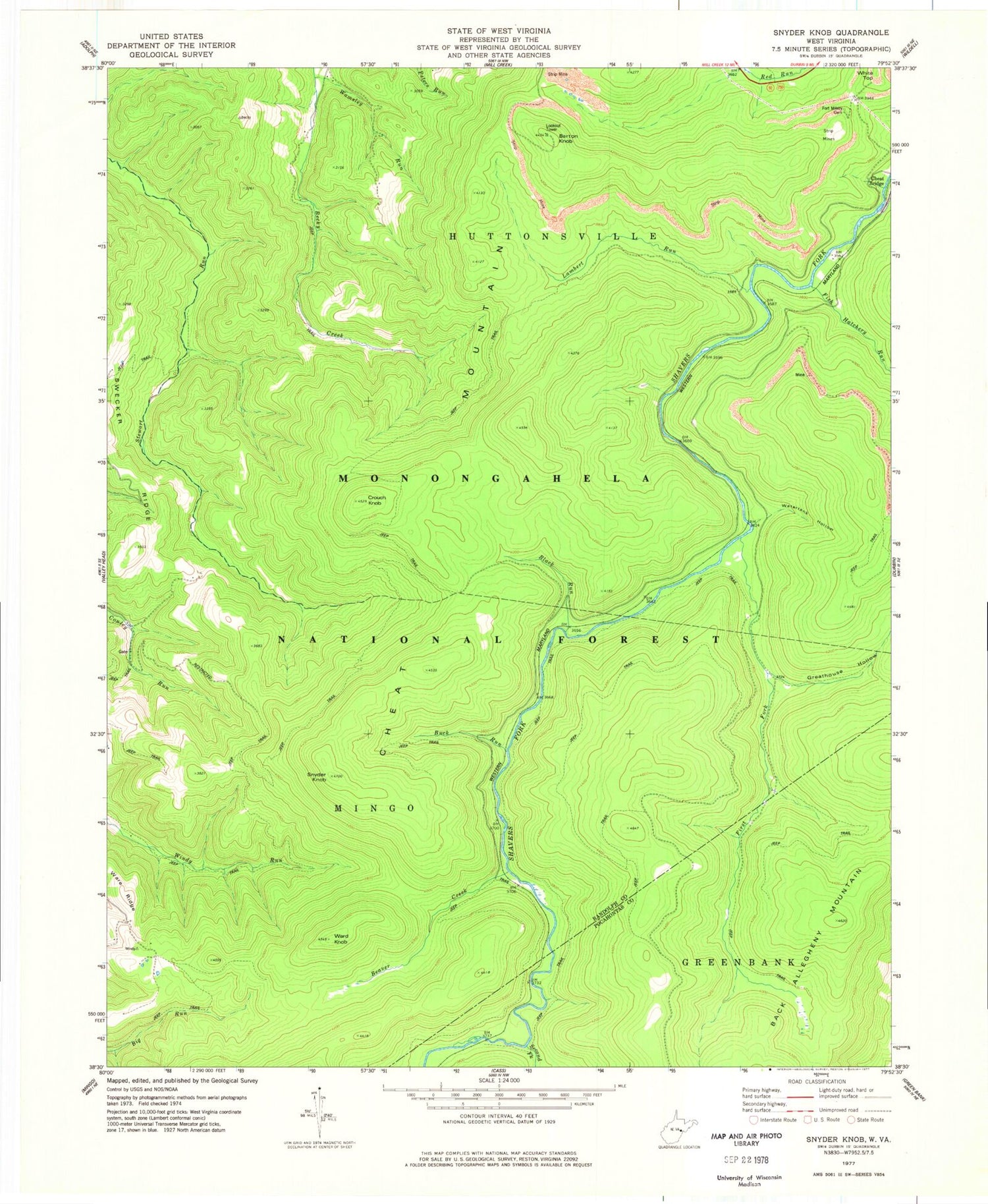
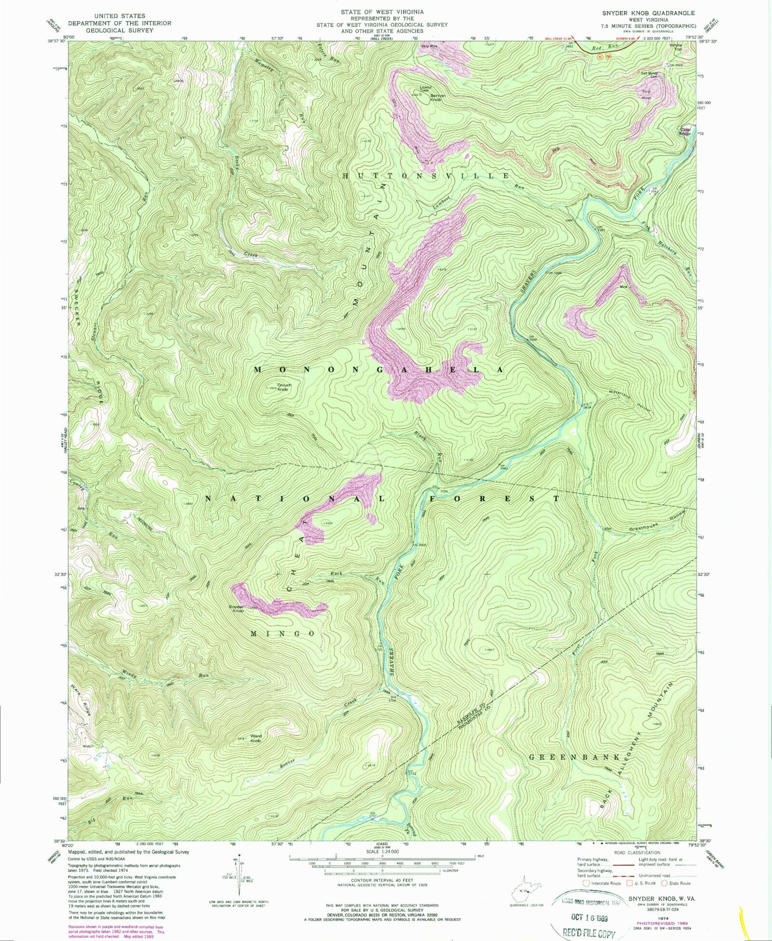
Classic USGS Snyder Knob West Virginia 7.5'x7.5' Topo Map
Couldn't load pickup availability
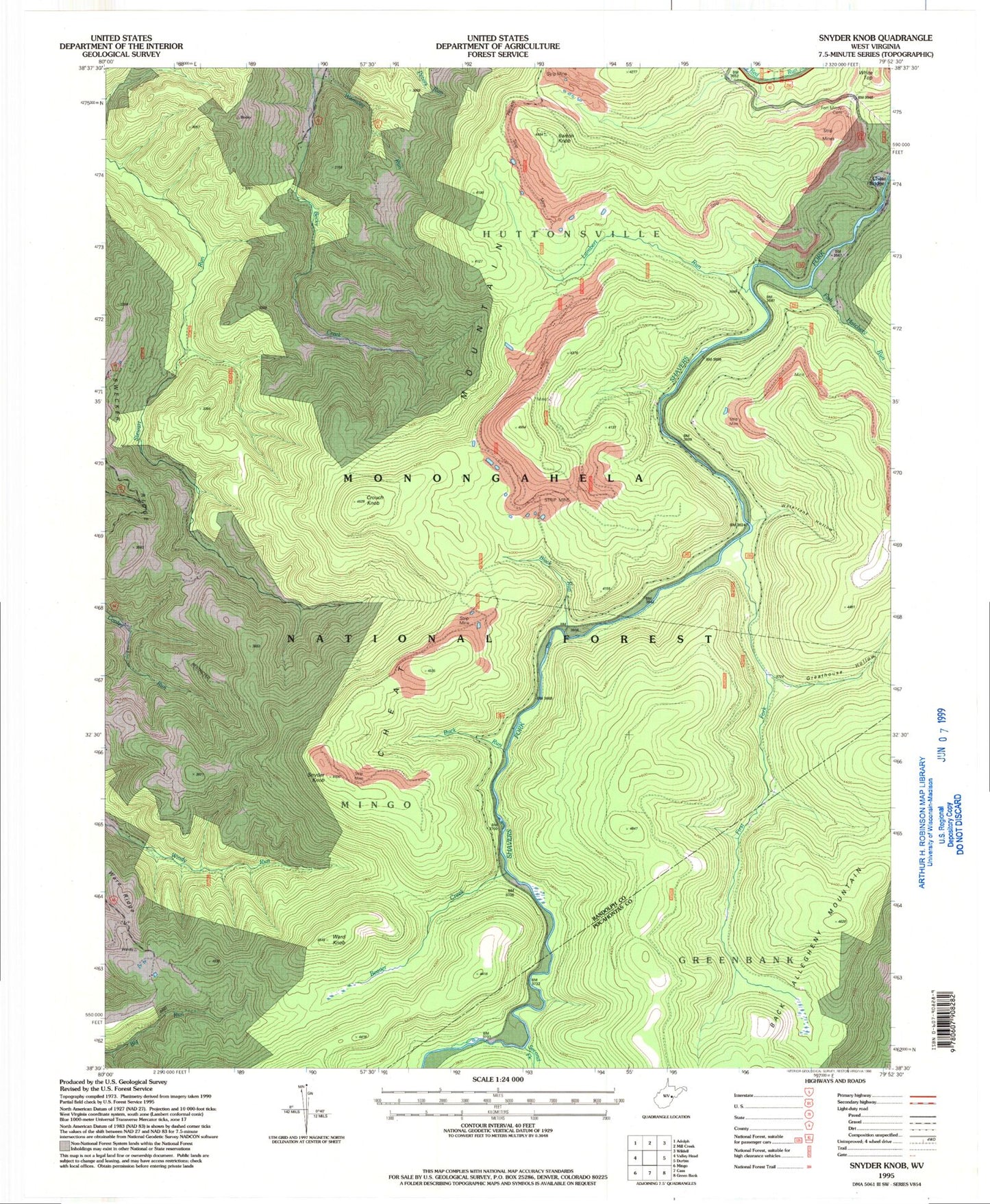
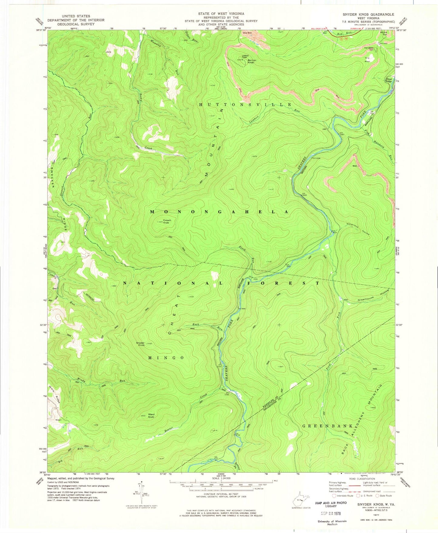
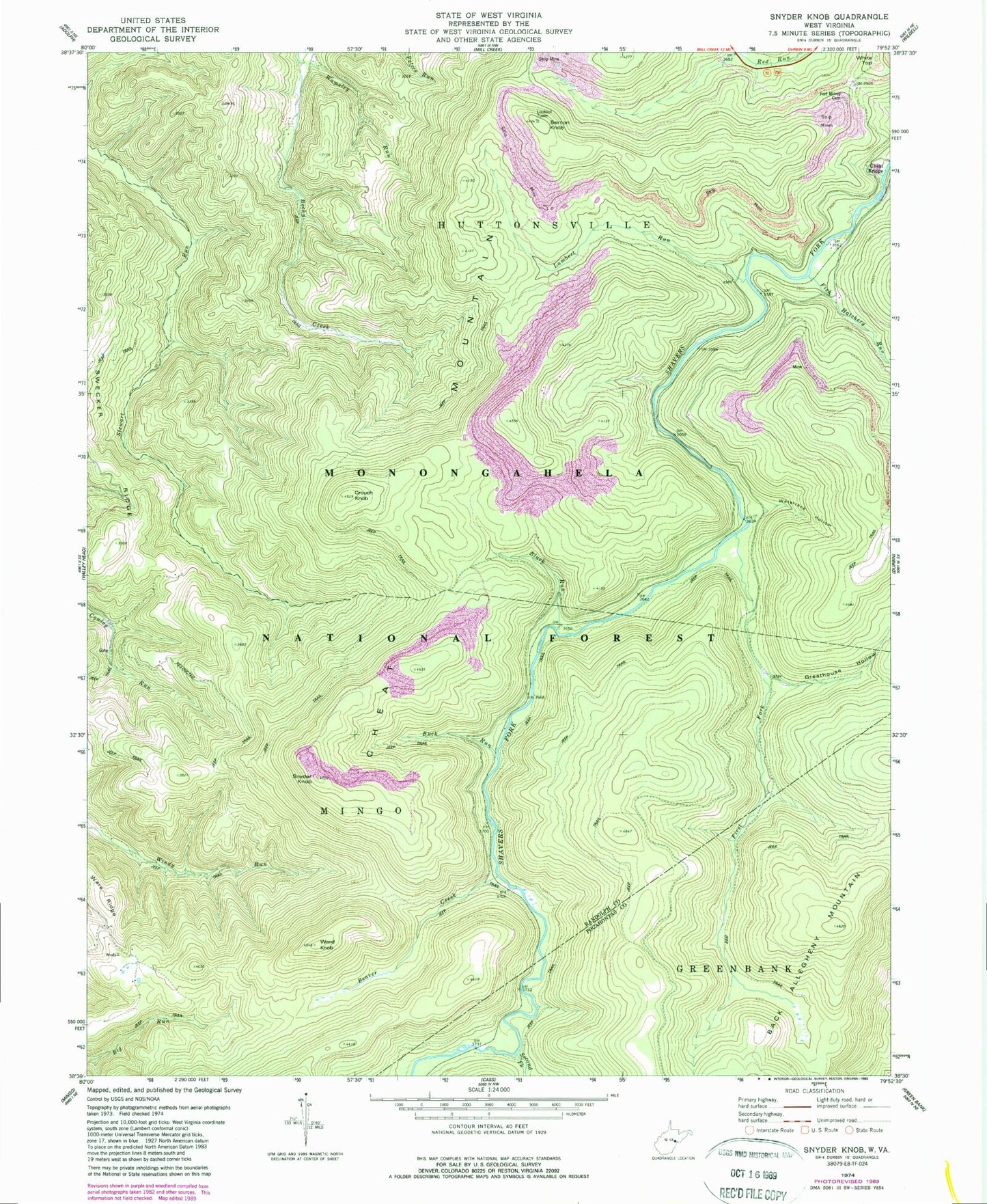
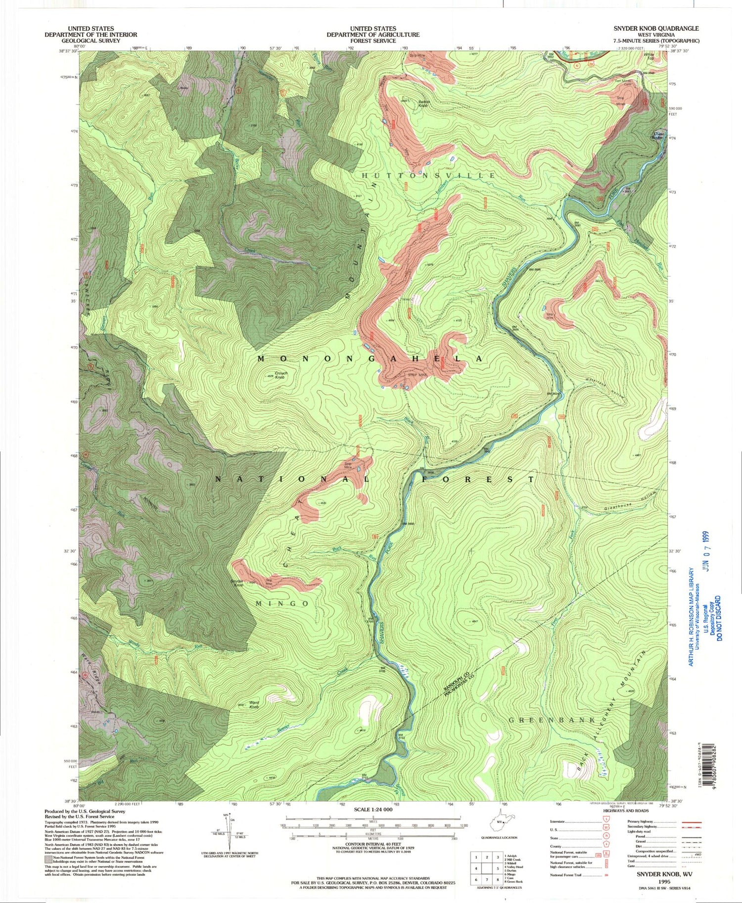
Historical USGS topographic quad map of Snyder Knob in the state of West Virginia. Typical map scale is 1:24,000, but may vary for certain years, if available. Print size: 24" x 27"
This quadrangle is in the following counties: Pocahontas, Randolph.
The map contains contour lines, roads, rivers, towns, and lakes. Printed on high-quality waterproof paper with UV fade-resistant inks, and shipped rolled.
Contains the following named places: Barton Knob, Beaver Creek, Black Run, Buck Run, Crouch Knob, First Fork, Fish Hatchery Run, Fort Milroy Cemetery, Lambert Run, Second Fork, Snyder Knob, Wamsley Run, Ward Knob, Ware Ridge, Watertank Hollow, Greathouse Hollow, White Top, Monongahela National Forest, Beckys Creek Wildlife Management Area, Barton Knob, Beaver Creek, Black Run, Buck Run, Crouch Knob, First Fork, Fish Hatchery Run, Fort Milroy Cemetery, Lambert Run, Second Fork, Snyder Knob, Wamsley Run, Ward Knob, Ware Ridge, Watertank Hollow, Greathouse Hollow, White Top, Monongahela National Forest, Beckys Creek Wildlife Management Area
