MyTopo
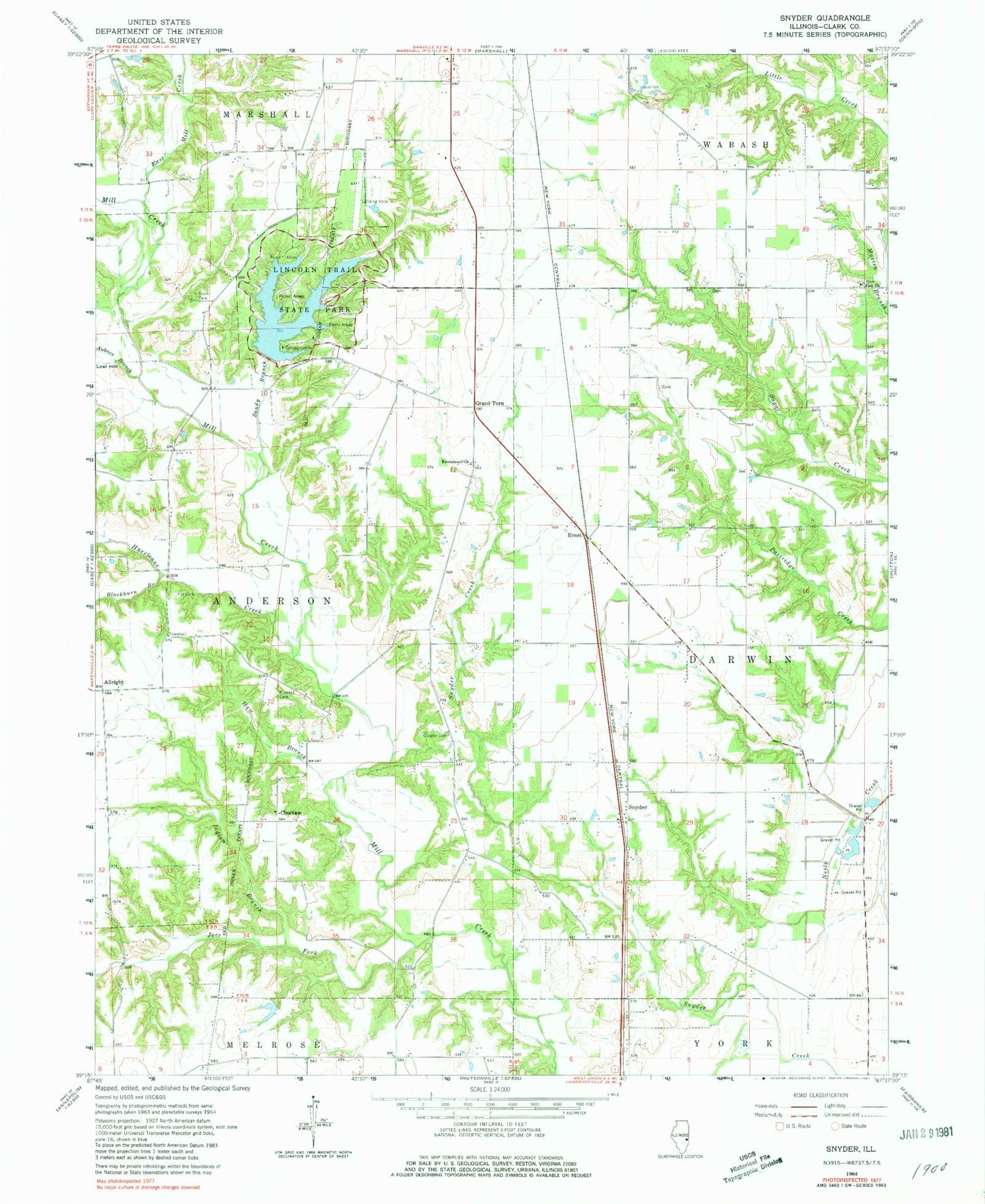
Classic USGS Snyder Illinois 7.5'x7.5' Topo Map
Couldn't load pickup availability
Historical USGS topographic quad map of Snyder in the state of Illinois. Map scale may vary for some years, but is generally around 1:24,000. Print size is approximately 24" x 27"
This quadrangle is in the following counties: Clark.
The map contains contour lines, roads, rivers, towns, and lakes. Printed on high-quality waterproof paper with UV fade-resistant inks, and shipped rolled.
Contains the following named places: Allright, American Beech Woods Nature Preserve, Anderson Townhall, Auburn Branch, Avon School, Baggs School, Blackburn Branch, Blackhawk School, Blizzard Cemetery, Bubeck Cemetery, Choctaw, Choctaw School, Cole School, Craig Chapel, East Mill Creek, Eckels School, Emmanuel United Methodist Church, Ernst, Fox Cemetery, Grand Turn, Haw Branch, Hurricane Creek, Indian Branch, Joes Fork, Kile School, Lakeside Campground, Lincoln Trail State Park, Lincoln Trail State Park Lake, Lincoln Trail State Park Lake Dam, Lost Hill, Maple Grove Picnic Area, Oak Ridge Picnic Area, Ohio School, Plainview Campground, Red Oak Picnic Area, Sandy Branch, Sassafras Picnic Area, Sherman School, Shotts Cemetery, Siverly School, Snyder, Stump School, Sweet Gum Lane Picnic Area, Township of Anderson, Township of Darwin, Washington School, White Oak Picnic Area, Ziegler Cemetery, Zion Church Cemetery, Zion United Methodist Church