MyTopo
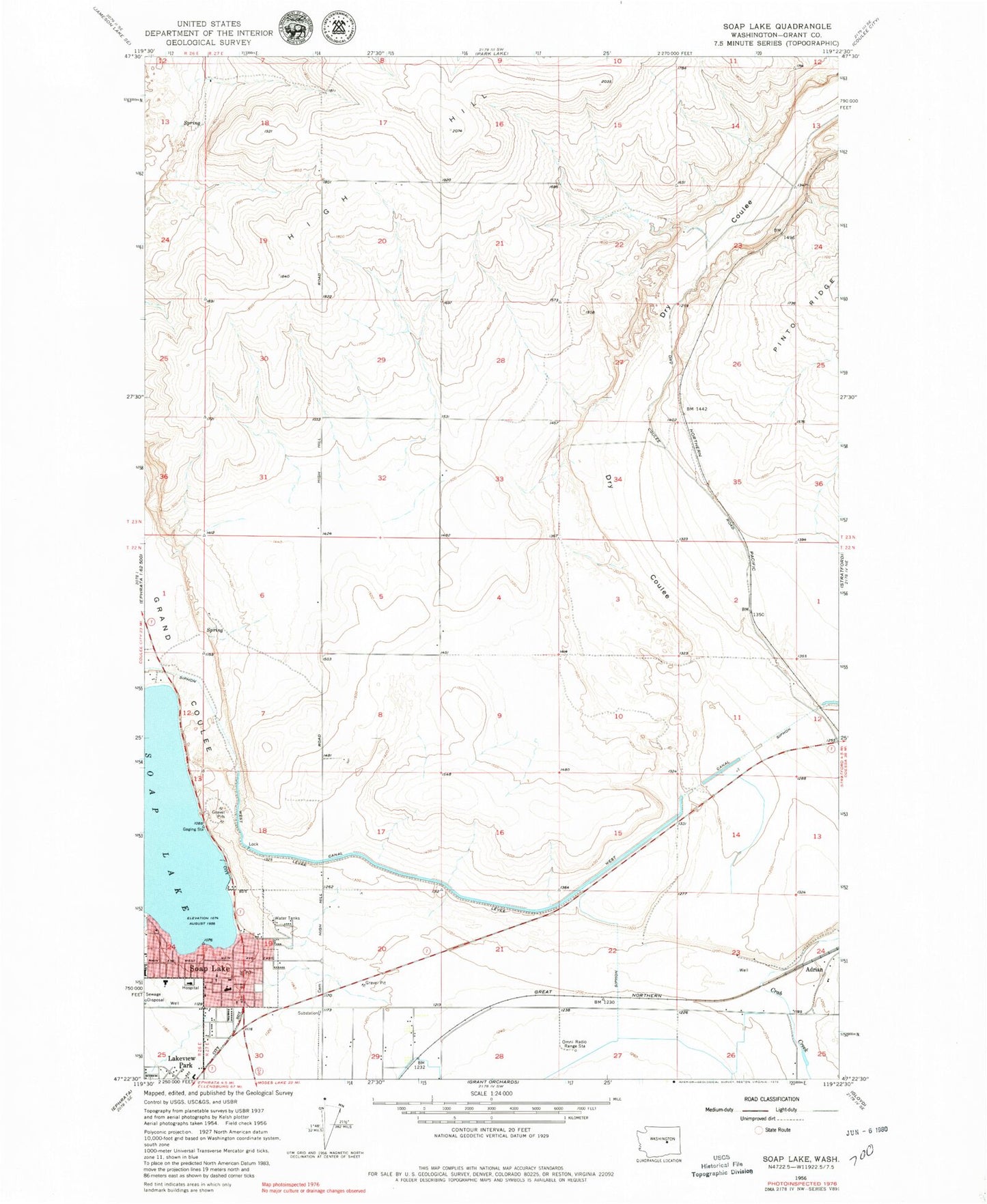
Classic USGS Soap Lake Washington 7.5'x7.5' Topo Map
Couldn't load pickup availability
Historical USGS topographic quad map of Soap Lake in the state of Washington. Map scale may vary for some years, but is generally around 1:24,000. Print size is approximately 24" x 27"
This quadrangle is in the following counties: Grant.
The map contains contour lines, roads, rivers, towns, and lakes. Printed on high-quality waterproof paper with UV fade-resistant inks, and shipped rolled.
Contains the following named places: Adco Siding, Calling the Healing Waters Sculpture and Sundial, City of Soap Lake, Delancey-Houghton Elementary School, Grand Coulee, High Hill, Lower Grand Coulee, Smokiam Campground, Soap Lake, Soap Lake City Police Department, Soap Lake Elementary School, Soap Lake Fire Department, Soap Lake Middle - High School, Soap Lake Post Office, Valley View Memorial Park, ZIP Code: 98851