MyTopo
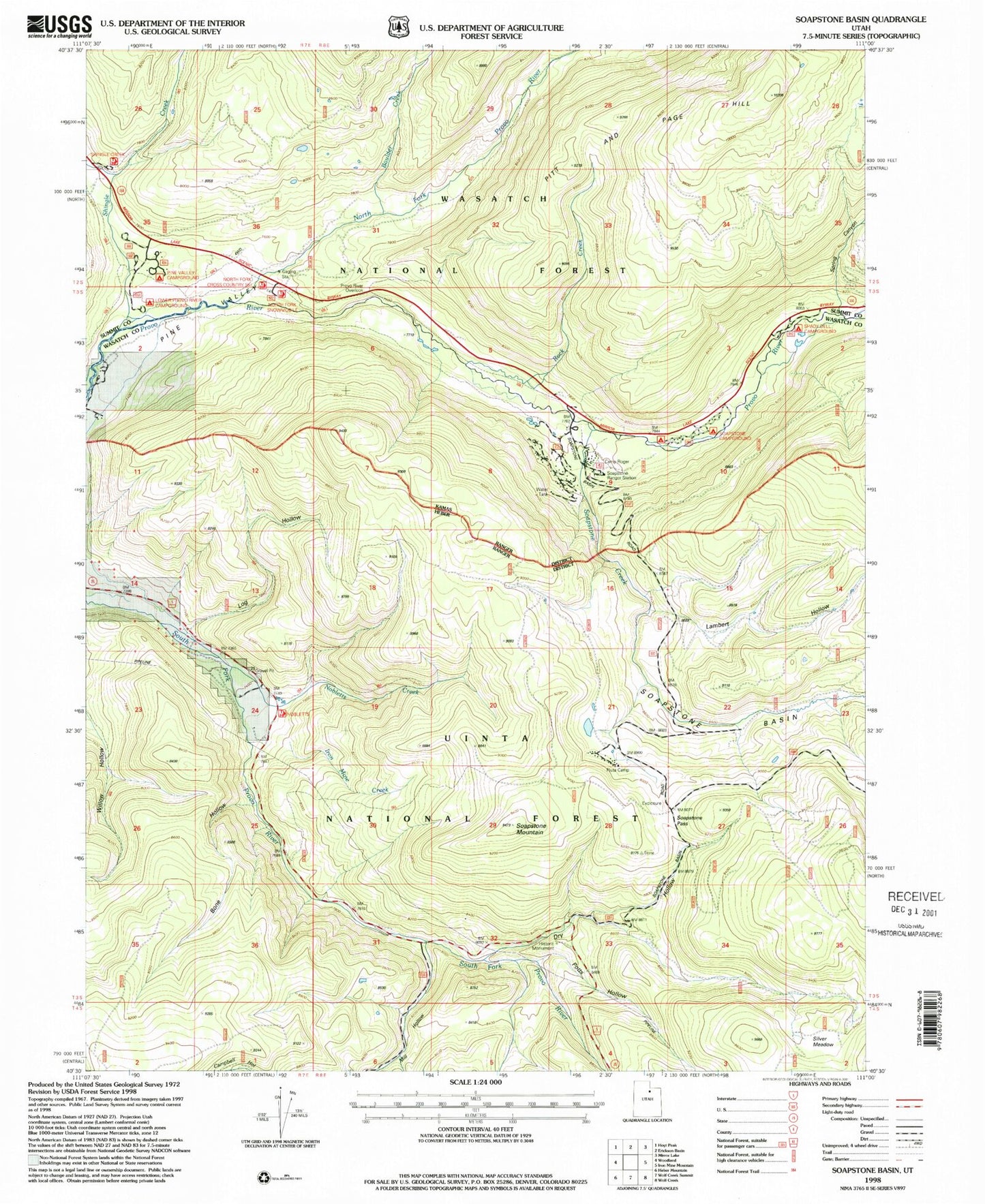
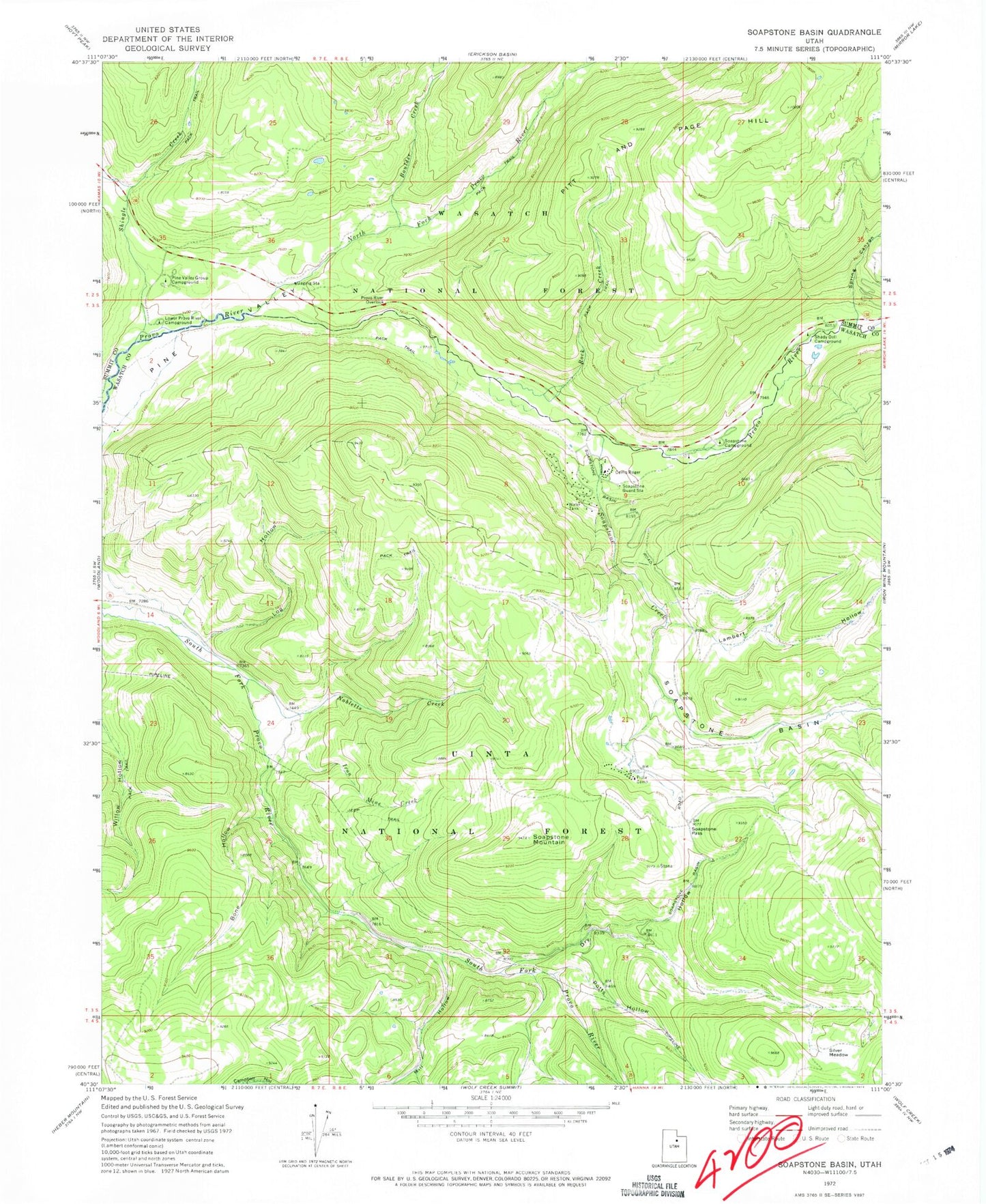
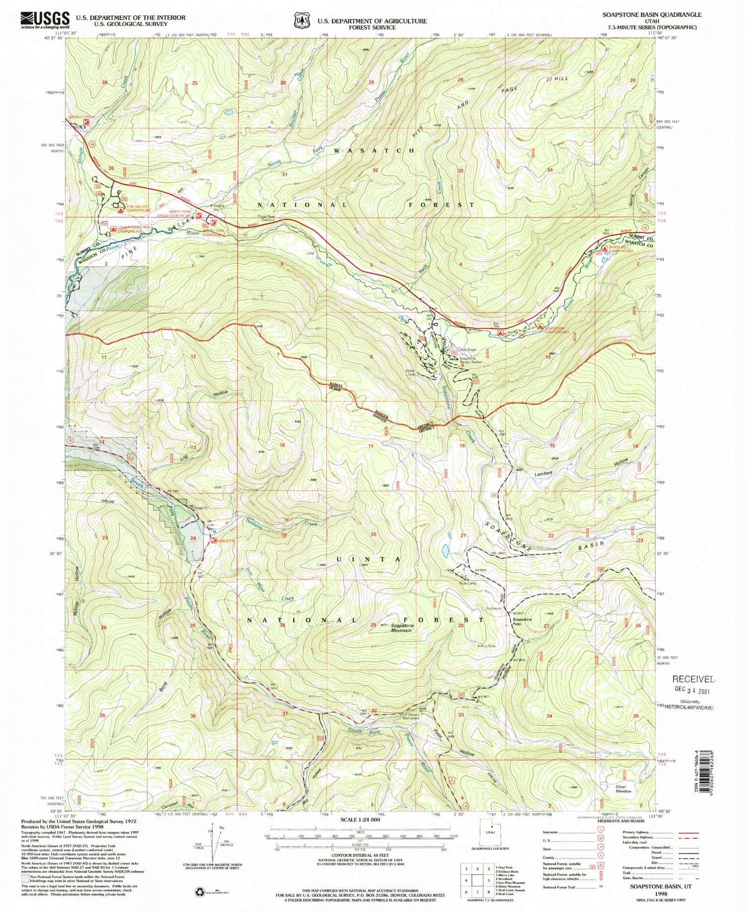
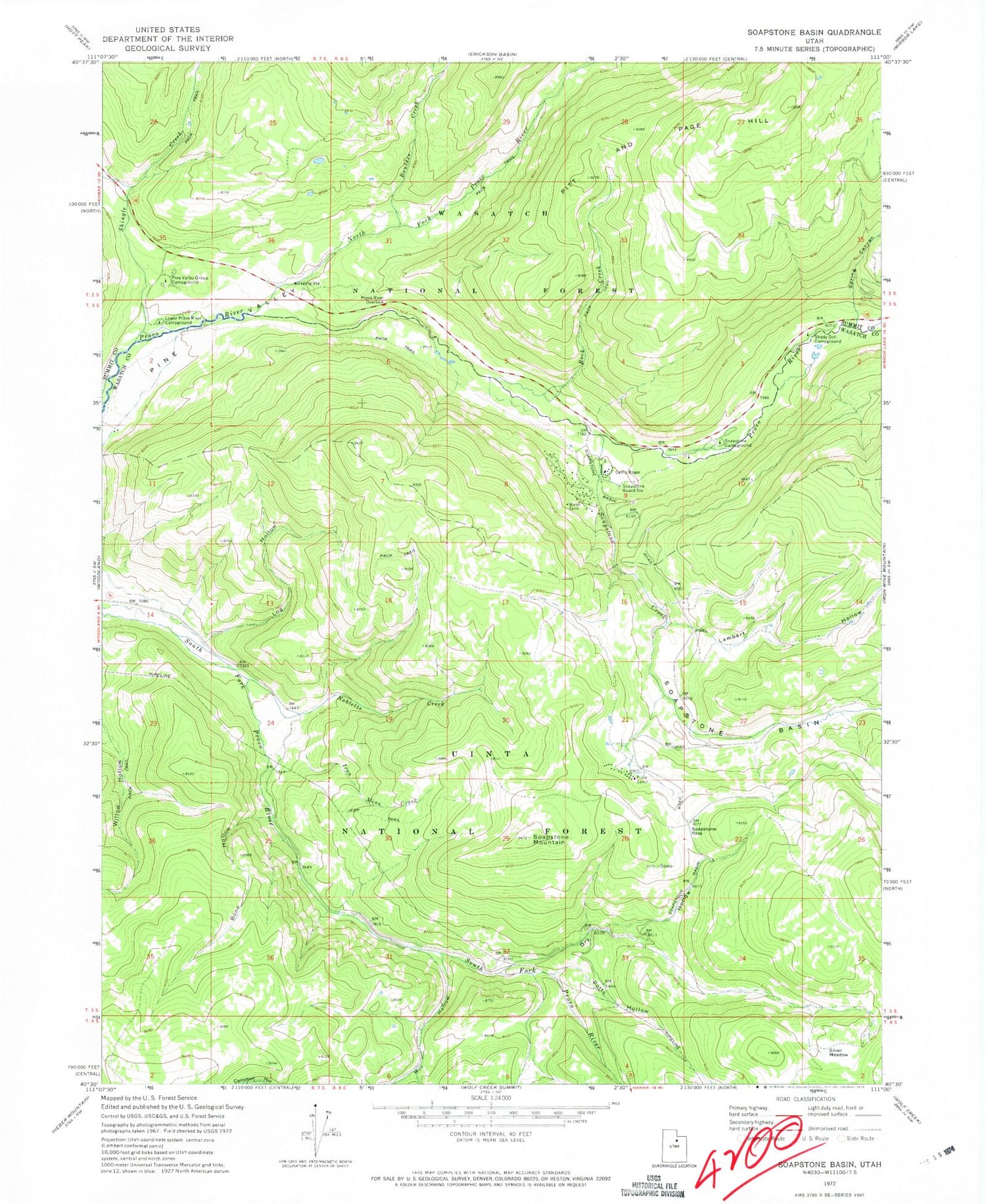
Classic USGS Soapstone Basin Utah 7.5'x7.5' Topo Map
Couldn't load pickup availability
Historical USGS topographic quad map of Soapstone Basin in the state of Utah. Typical map scale is 1:24,000, but may vary for certain years, if available. Print size: 24" x 27"
This quadrangle is in the following counties: Summit, Wasatch.
The map contains contour lines, roads, rivers, towns, and lakes. Printed on high-quality waterproof paper with UV fade-resistant inks, and shipped rolled.
Contains the following named places: Bone Hollow, Boulder Creek, Camp Roger, Dry Hollow, Iron Mine Creek, Lambert Hollow, Log Hollow, Lower Provo River Campground, Mill Hollow, Nobletts Creek, North Fork Provo River, Pine Valley Group Campground, Pitt and Page Hill, Piuta Camp, Potts Hollow, Provo River Overlook, Rock Creek, Shady Dell Campground, Shingle Creek, Silver Meadow, Soapstone Basin, Soapstone Campground, Soapstone Creek, Soapstone Guard Station, Soapstone Mountain, Soapstone Pass, Spring Canyon, Littles Fork Trail, Nobletts Administrative Site, Nobletts Creek Trail, Soapstone Summer Home Area, West Portal Duchesne Tunnel, YMCA Camp


