MyTopo
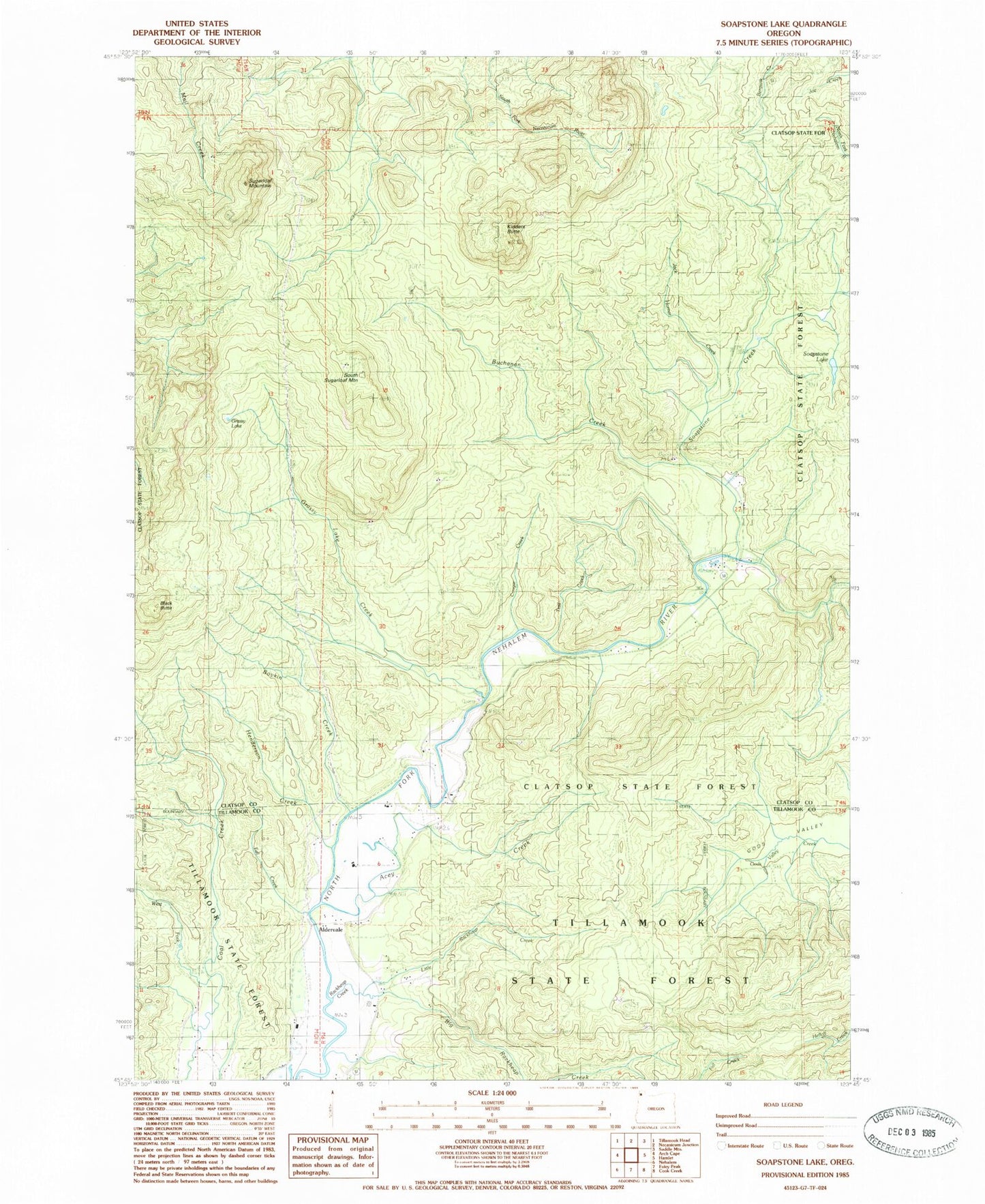
Classic USGS Soapstone Lake Oregon 7.5'x7.5' Topo Map
Couldn't load pickup availability
Historical USGS topographic quad map of Soapstone Lake in the state of Oregon. Typical map scale is 1:24,000, but may vary for certain years, if available. Print size: 24" x 27"
This quadrangle is in the following counties: Clatsop, Tillamook.
The map contains contour lines, roads, rivers, towns, and lakes. Printed on high-quality waterproof paper with UV fade-resistant inks, and shipped rolled.
Contains the following named places: Boykin Creek, Buchanan Creek, Cougar Creek, Fall Creek, Grassy Lake, Grassy Lake Creek, Henderson Creek, Jack Horner Creek, Soapstone Creek, Soapstone Lake, Sugarloaf Mountain, Trail Creek, West Fork Coal Creek, Acey Creek, South Sugarloaf, Little Rackheap Creek, Aldervale, Black Butte, Kidders Butte, Big Rackheap Creek, Eden Post Office (historical), Onion Peak Post Office (historical), Barbra Post Office (historical), North Fork Nehalem County Park, Rackheap Creek, Nehalem Fish Hatchery Boat Ramp, Aldervale Boat Launch


