MyTopo
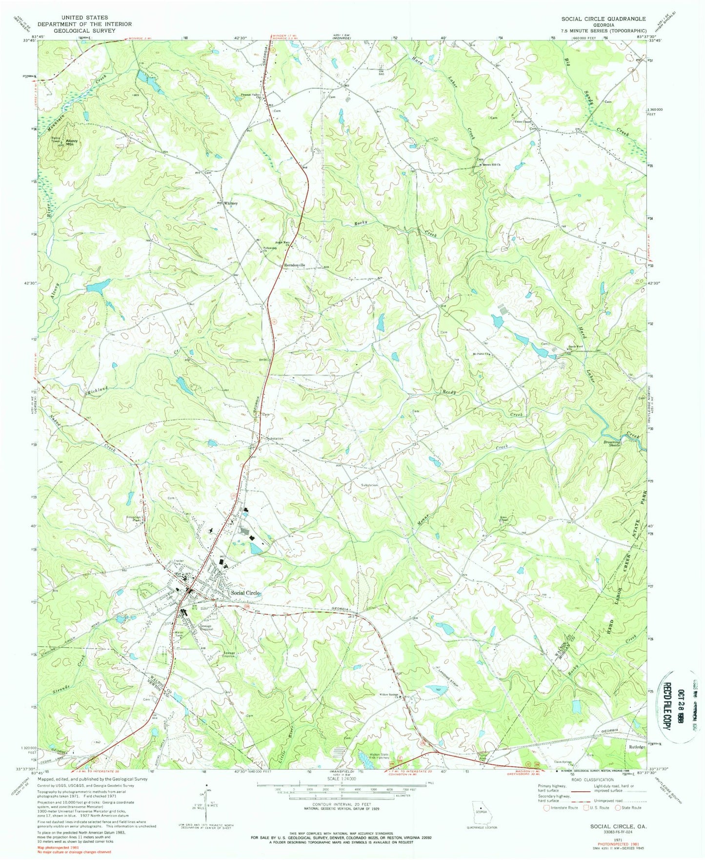
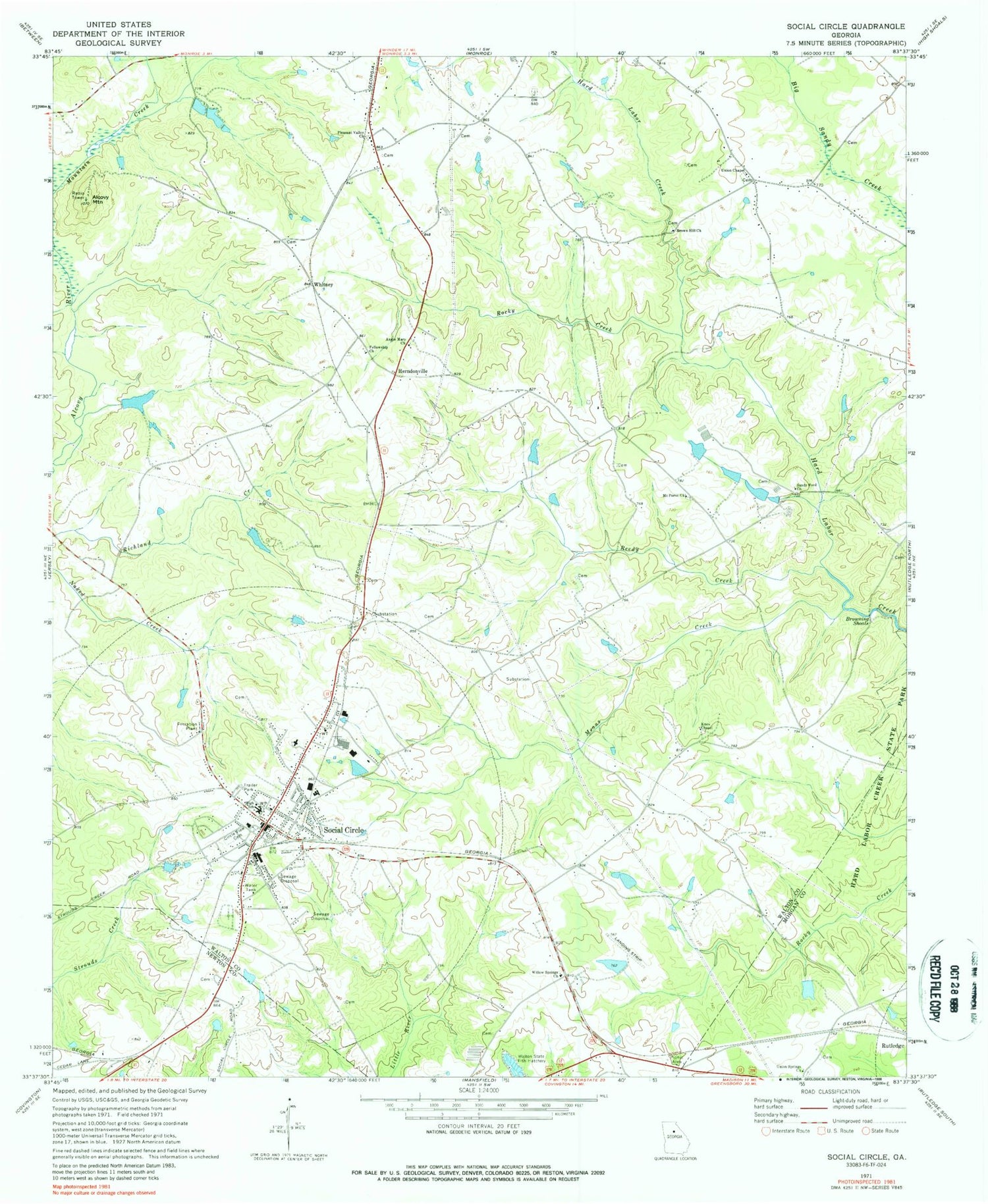
Classic USGS Social Circle Georgia 7.5'x7.5' Topo Map
Couldn't load pickup availability
Historical USGS topographic quad map of Social Circle in the state of Georgia. Map scale may vary for some years, but is generally around 1:24,000. Print size is approximately 24" x 27"
This quadrangle is in the following counties: Morgan, Newton, Walton.
The map contains contour lines, roads, rivers, towns, and lakes. Printed on high-quality waterproof paper with UV fade-resistant inks, and shipped rolled.
Contains the following named places: Alcovy Mountain, Annie Mary Church, Arnold Dam, Arnold Lake, Baccus Lake, Baccus Lake Dam, Bradley Dam, Bradley Lake, Brown Hill Church, Browning Shoals, Cedar Lake, Cedar Lake Dam, Circle View Cemetery, City of Social Circle, Conner Cemetery, Fellowship Church, Griffin Dam, Griffin Lake, Hawkins Academy, Herndonville, Hollis and Sigman Cemetery, Jefferson Davis Monument, Jones Lake, Jones Lake Dam, Kelley Lake, Kelley Lake Dam, Knox Chapel, Mathis Lake, Mathis Lake Dam, McGarity Dam, McGarity Lake, Means Creek, Moore Cemetery, Mount Paron Church, Pleasant Valley Church, Reedy Creek, Rocky Creek, Sandy Ford Church, Sleepy Hollow Airport, Social Circle, Social Circle City Hall, Social Circle Department of Public Safety, Social Circle Division, Social Circle Elementary School, Social Circle Fire Department, Social Circle Historic District, Social Circle Middle and High School, Social Circle Police Department, Social Circle Post Office, Social Circle Primary School, Social Circle Training School, Stephens Park, Union Chapel, Union Chapel School, Union Springs Baptist Church, Union Springs Baptist Church Cemetery, Walton County Fire Rescue Department Station 11, Whitney, William Luther Breedlove Monument, Willow Springs Church, ZIP Code: 30025


