MyTopo
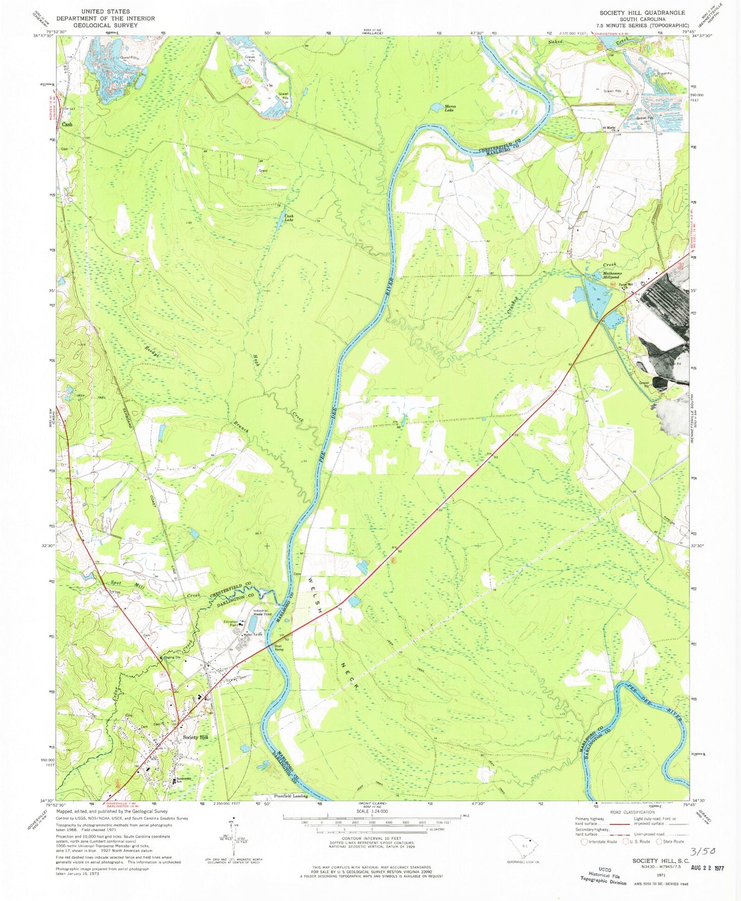
Classic USGS Society Hill South Carolina 7.5'x7.5' Topo Map
Couldn't load pickup availability
Historical USGS topographic quad map of Society Hill in the state of South Carolina. Map scale may vary for some years, but is generally around 1:24,000. Print size is approximately 24" x 27"
This quadrangle is in the following counties: Chesterfield, Darlington, Marlboro.
The map contains contour lines, roads, rivers, towns, and lakes. Printed on high-quality waterproof paper with UV fade-resistant inks, and shipped rolled.
Contains the following named places: Becker Pond, Becker Pond Dam D-3449, Boggy Branch, Cash Lake, Cashs Depot, Cedar Creek, Colonel Kolbs Tomb, Crooked Creek, Darlington County Fire District Station 11, Davis Field, Dyers Hill, Dyers Hill Church, Dyers Hill School, Evans Mill, Gardners Bluff, Goose Marsh, Harris Creek School, Hugh Creek, Klopman Mill Pond, Linton School, Mares Lake, Mathesons Mill, Mathesons Millpond, Naked Creek, Noname 16028 D-3538 Dam, Plumfield Landing, Reedys Branch, Rosenwald School, Saint Davids Academy, Saint Marks Church, Saint Marks School, Society Hill, Society Hill Police Department, Society Hill Rescue Squad, Sparks Ferry, Spot Mill Creek, Town of Society Hill, Trinity Cemetery, Trinity Episcopal Church, Welch Neck Memorial Bridge, Welsh Neck, Welsh Neck Baptist Church, Welsh Neck Cemetery