MyTopo
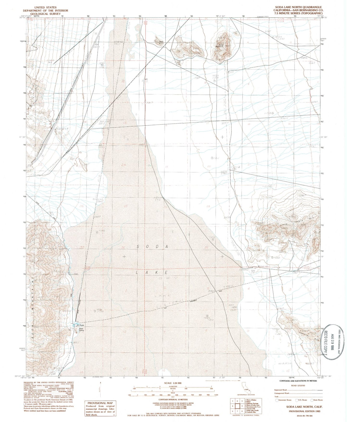
Classic USGS Soda Lake North California 7.5'x7.5' Topo Map
Regular price
$16.95
Regular price
Sale price
$16.95
Unit price
per
Couldn't load pickup availability
Historical USGS topographic quad map of Soda Lake North in the state of California. Map scale may vary for some years, but is generally around 1:24,000. Print size is approximately 24" x 27"
This quadrangle is in the following counties: San Bernardino.
The map contains contour lines, roads, rivers, towns, and lakes. Printed on high-quality waterproof paper with UV fade-resistant inks, and shipped rolled.
Contains the following named places: Hanks Mountain, Joshua Tree National Park Headquarters, Little Cowhole Mountain, Luckie Park, Mesquite Spring, Oasis School, Shortz Lake, Smith Ranch, Soda Lake, Squat Hill, Zzyzx, Zzyzx Airstrip, Zzyzx Spring