MyTopo
Classic USGS Soda Lake West Nevada 7.5'x7.5' Topo Map
Regular price
$16.95
Regular price
Sale price
$16.95
Unit price
per
Couldn't load pickup availability
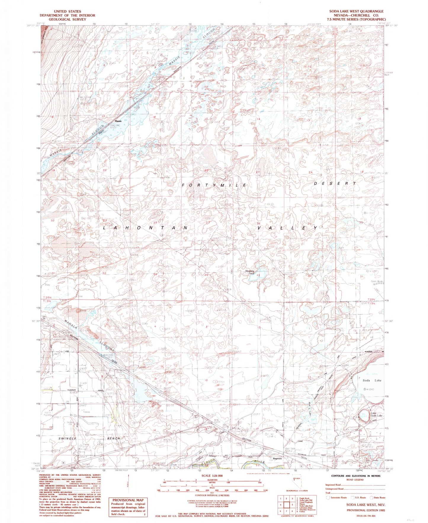
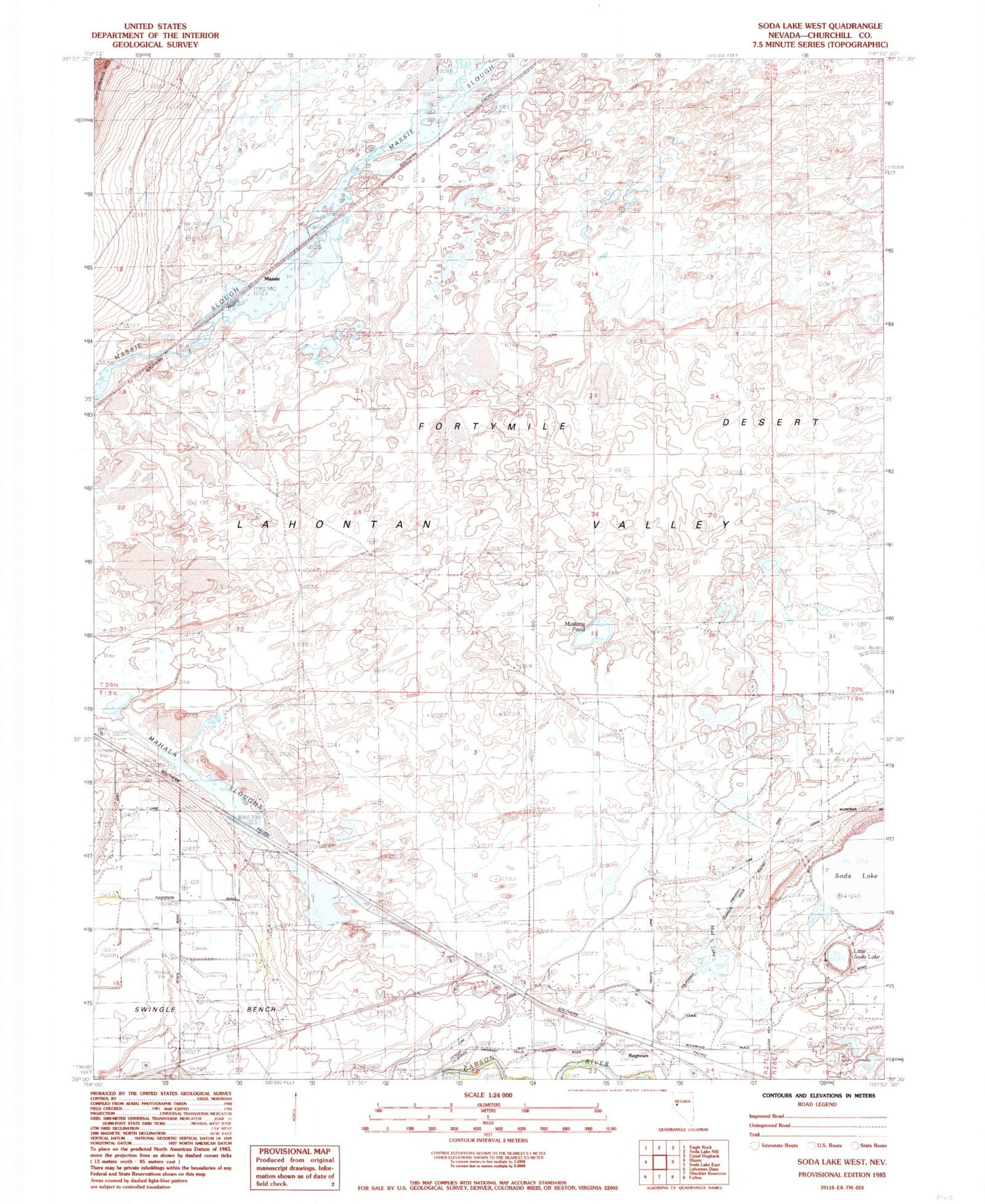
Historical USGS topographic quad map of Soda Lake West in the state of Nevada. Map scale may vary for some years, but is generally around 1:24,000. Print size is approximately 24" x 27"
This quadrangle is in the following counties: Churchill.
The map contains contour lines, roads, rivers, towns, and lakes. Printed on high-quality waterproof paper with UV fade-resistant inks, and shipped rolled.
Contains the following named places: Centerville, Leeteville, Leeteville Post Office, Little Soda Lake, Mahala, Mahala Sloughs, Massie, Massie Slough, Mud Lake, Mustang Pond, Ragtown, Ragtown Post Office, Soda Lake, Soda Lake Mining District, Swingle Bench