MyTopo
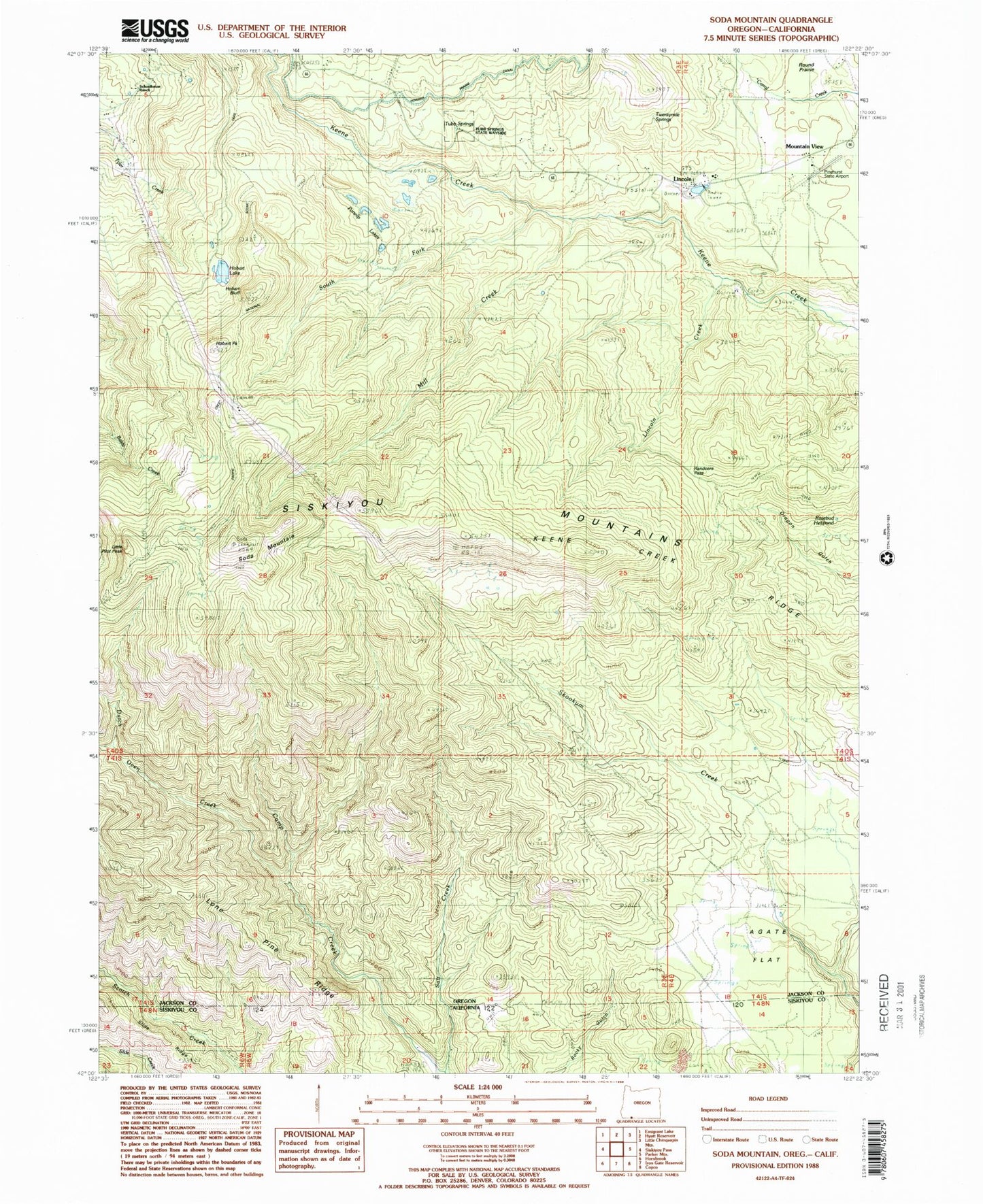
Classic USGS Soda Mountain Oregon 7.5'x7.5' Topo Map
Couldn't load pickup availability
Historical USGS topographic quad map of Soda Mountain in the states of Oregon, California. Typical map scale is 1:24,000, but may vary for certain years, if available. Print size: 24" x 27"
This quadrangle is in the following counties: Jackson, Siskiyou.
The map contains contour lines, roads, rivers, towns, and lakes. Printed on high-quality waterproof paper with UV fade-resistant inks, and shipped rolled.
Contains the following named places: Agate Flat, Cabin Sixty-nine, Dutch Oven Creek, Hobart Bluff, Hobart Lake, Lincoln Creek, Lone Pine Ridge, Mill Creek, Parsnip Lakes, Randcore Pass, Round Prairie, Schoolhouse Ranch, Soda Mountain, South Fork Keene Creek, Twentymile Springs, Pinehurst State Airport, Devils Gulch, Tub Springs, Hobart Peak, Lincoln, Little Pilot Peak, Mountain View, Keene Creek Ridge, Rosebud Helipond, Tubb Springs State Wayside, Boccard Point, Soda Mountain Wilderness, Lone Pine Ridge