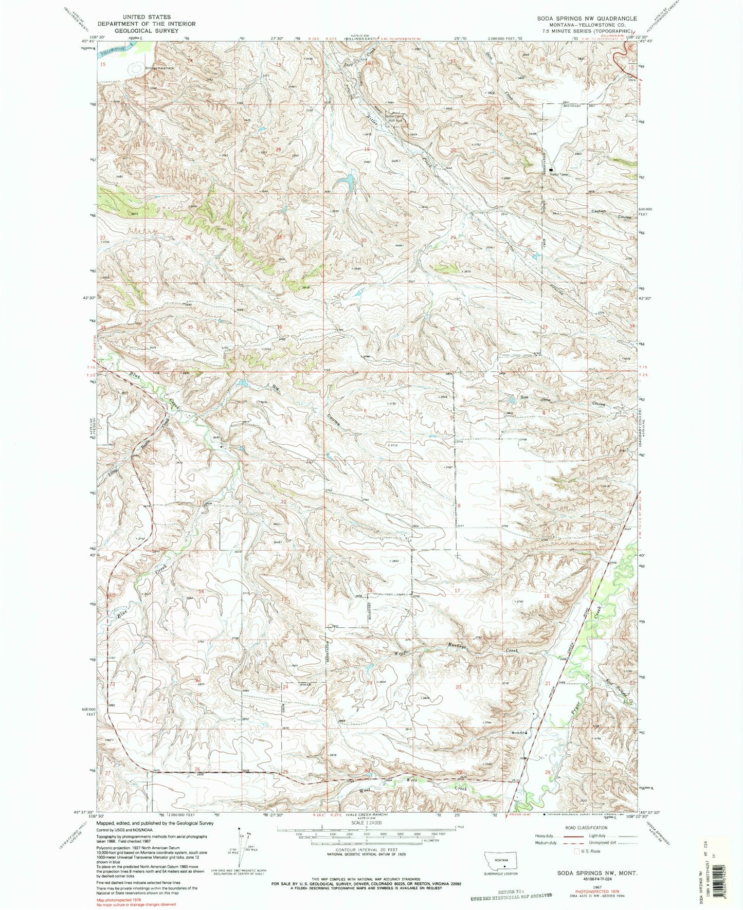
MyTopo
Classic USGS Soda Springs NW Montana 7.5'x7.5' Topo Map
Regular price
$16.95
Regular price
Sale price
$16.95
Unit price
per
Couldn't load pickup availability
Historical USGS topographic quad map of Soda Springs NW in the state of Montana. Map scale may vary for some years, but is generally around 1:24,000. Print size is approximately 24" x 27"
This quadrangle is in the following counties: Yellowstone.
The map contains contour lines, roads, rivers, towns, and lakes. Printed on high-quality waterproof paper with UV fade-resistant inks, and shipped rolled.
Contains the following named places: 01S26E13D___01 Well, 02S26E02BDD_01 Well, B O'Leary Number 2 Dam, Big Coulee, Billings Racetrack, Dirt Creek, East Buckeye Creek, Little Basin Creek, Morin School, Pictograph Cave State Park, South Yellowstone Division, West Buckeye Creek, West Wets Creek