MyTopo
Classic USGS Soldier Creek NE South Dakota 7.5'x7.5' Topo Map
Couldn't load pickup availability
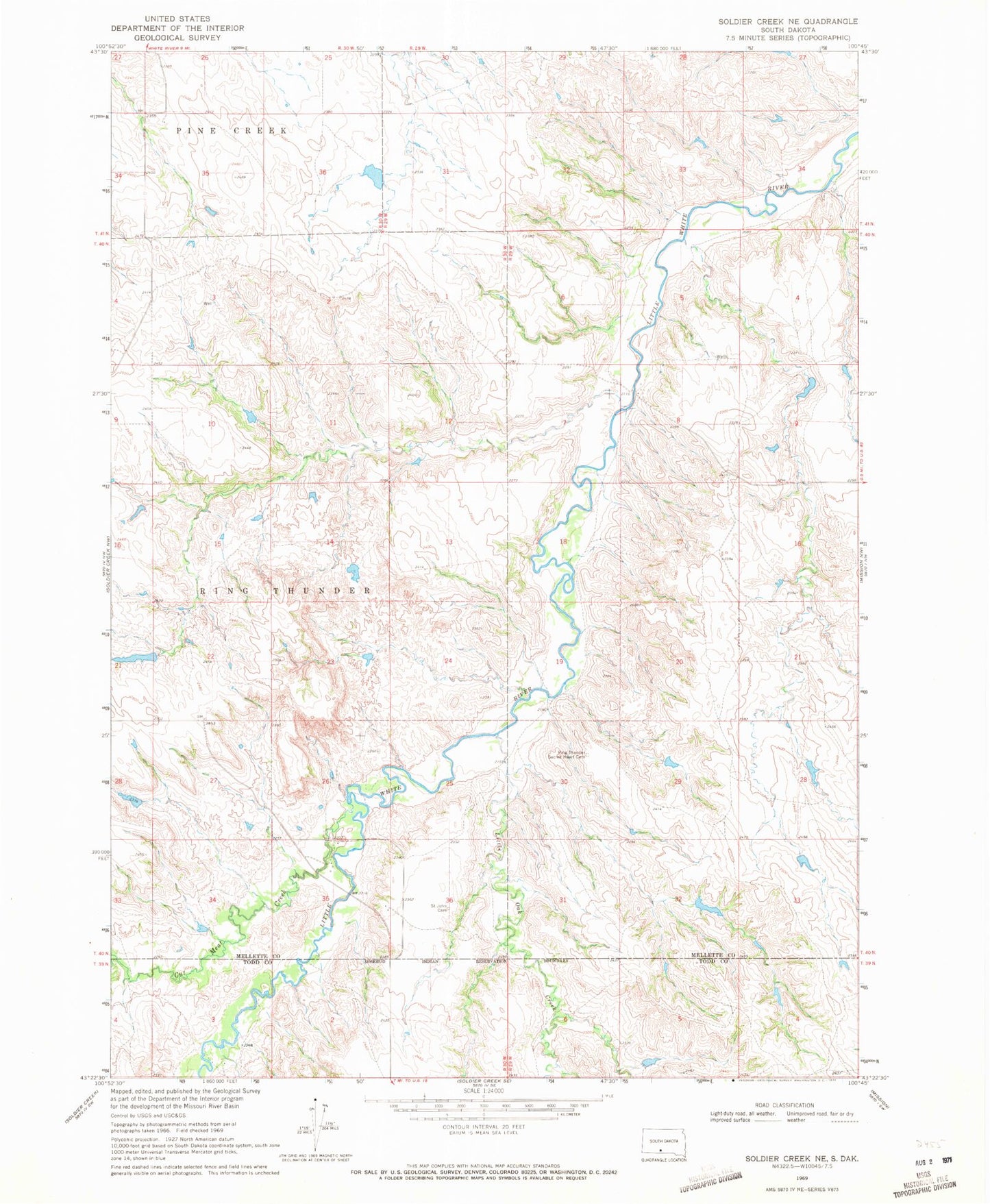
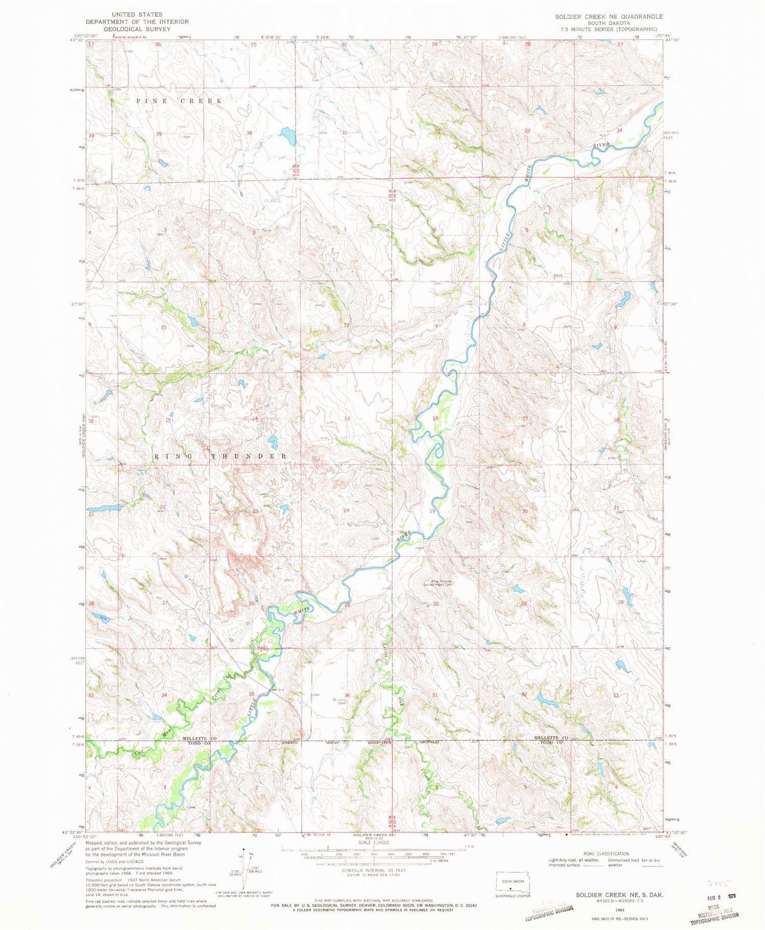
Historical USGS topographic quad map of Soldier Creek NE in the state of South Dakota. Map scale may vary for some years, but is generally around 1:24,000. Print size is approximately 24" x 27"
This quadrangle is in the following counties: Mellette, Todd.
The map contains contour lines, roads, rivers, towns, and lakes. Printed on high-quality waterproof paper with UV fade-resistant inks, and shipped rolled.
Contains the following named places: Adrian Number 2 Dam, Cut Meat Creek, Horse Creek Segment, Krogman Harold Number 1 Dam, Krogman Harold Number 3 Dam, Krogman Louie Number 1 Dam, Krogman Louie Number 2 Dam, Krogman Number 6 Dam, Krooman Number 1 Dam, Little Oak Creek, Ring Thunder Sacred Heart Cemetery, Saint John Episcopal Cemetery, Township of Ring Thunder