MyTopo
Classic USGS Soldier Key Florida 7.5'x7.5' Topo Map
Regular price
$16.95
Regular price
Sale price
$16.95
Unit price
per
Couldn't load pickup availability
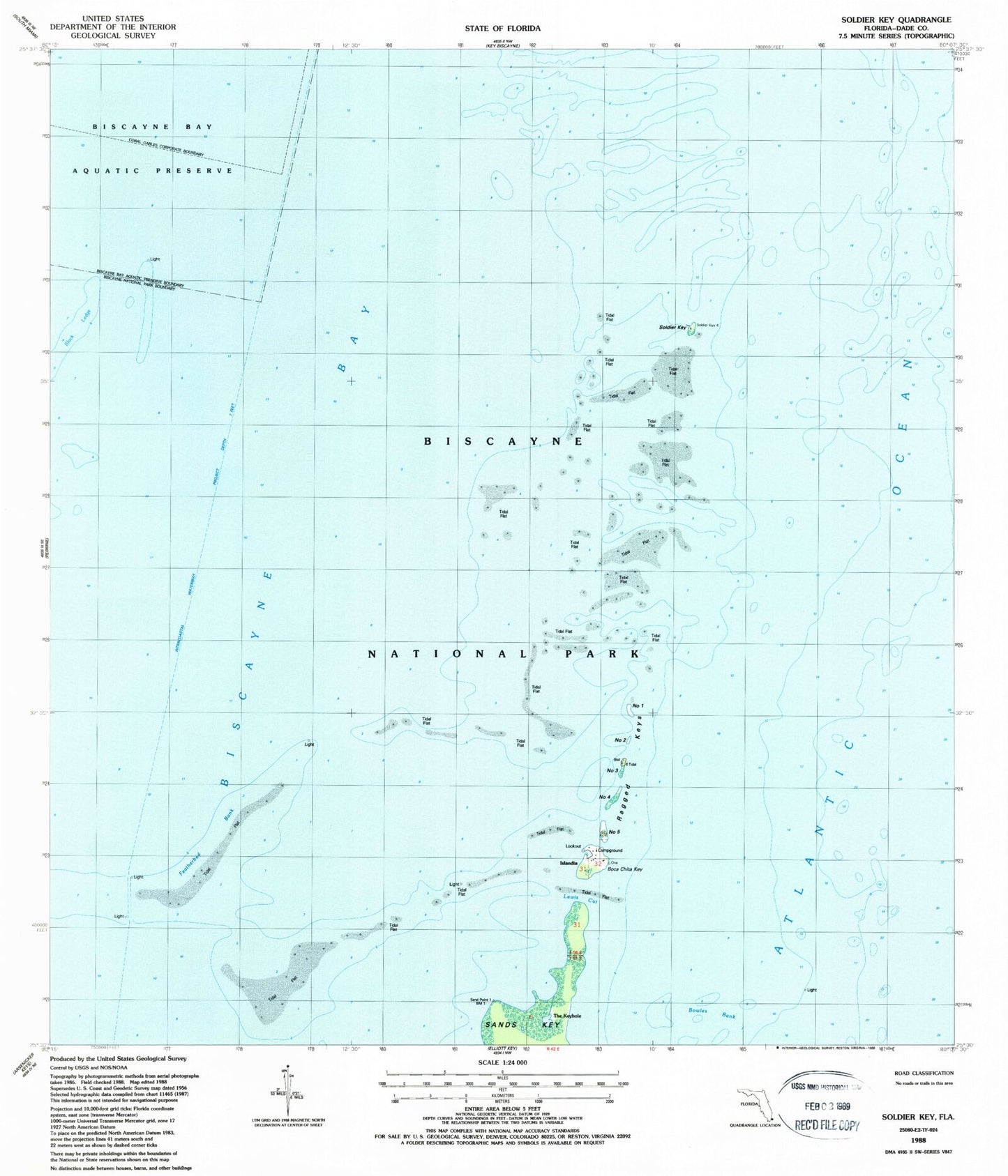
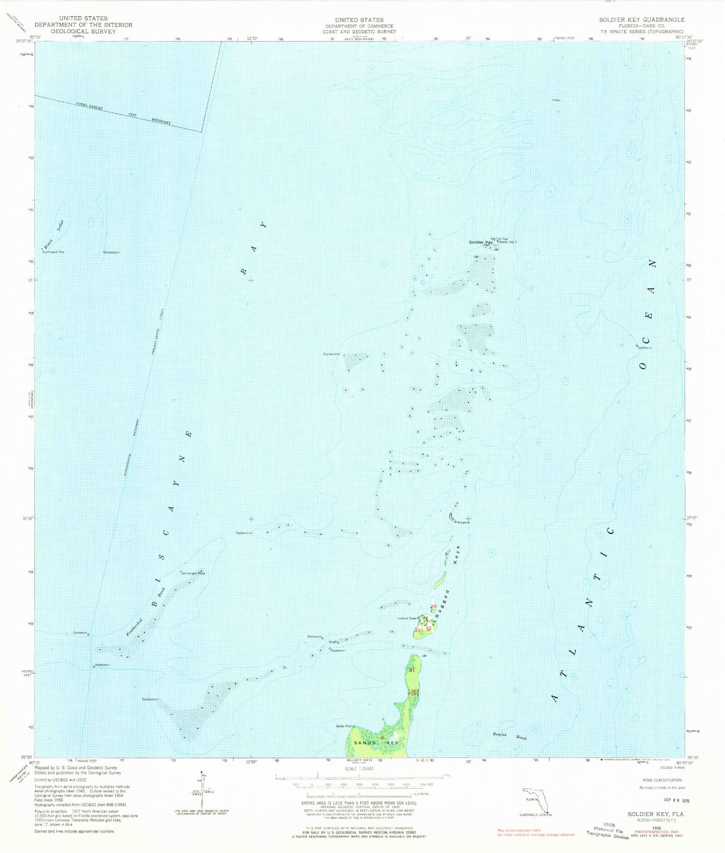
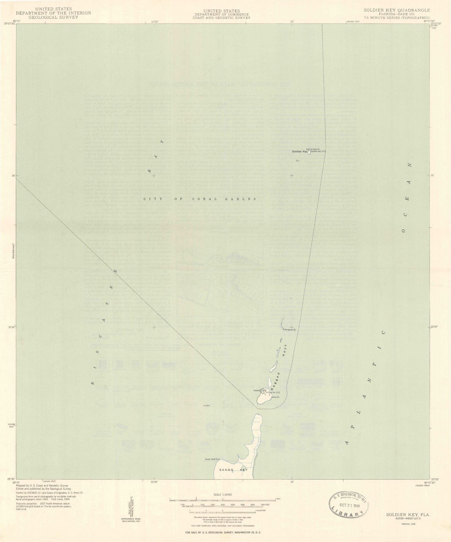
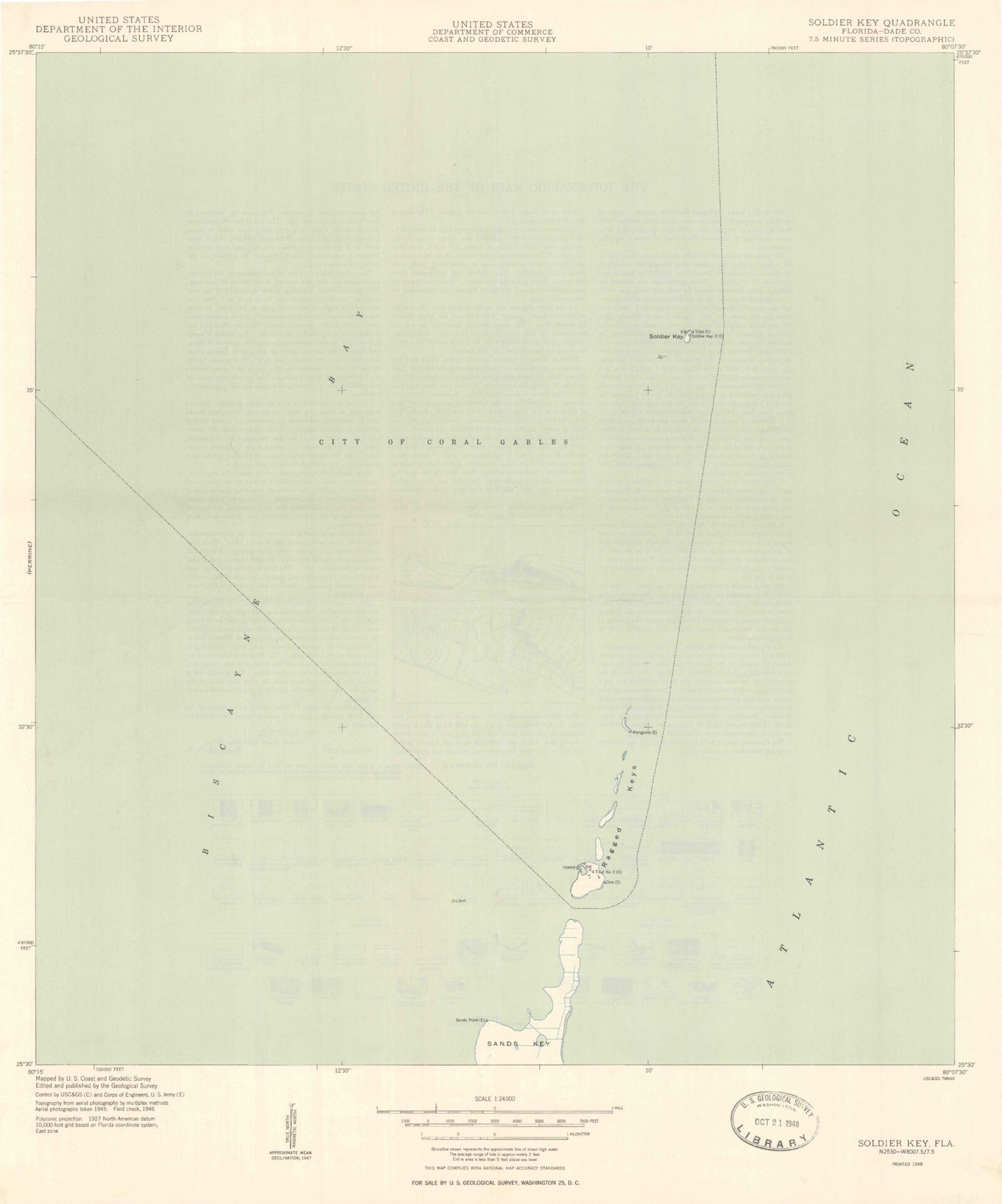
Historical USGS topographic quad map of Soldier Key in the state of Florida. Map scale may vary for some years, but is generally around 1:24,000. Print size is approximately 24" x 27"
This quadrangle is in the following counties: Miami-Dade.
The map contains contour lines, roads, rivers, towns, and lakes. Printed on high-quality waterproof paper with UV fade-resistant inks, and shipped rolled.
Contains the following named places: Biscayne Bay, Black Ledge, Boca Chita Key, Bowles Bank, Featherbed Bank, Lewis Cut, Our Lady of the Holy Rosary Catholic Church, Ragged Keys, Safety Valve, Sands Key, Soldier Key, The Keyhole