MyTopo
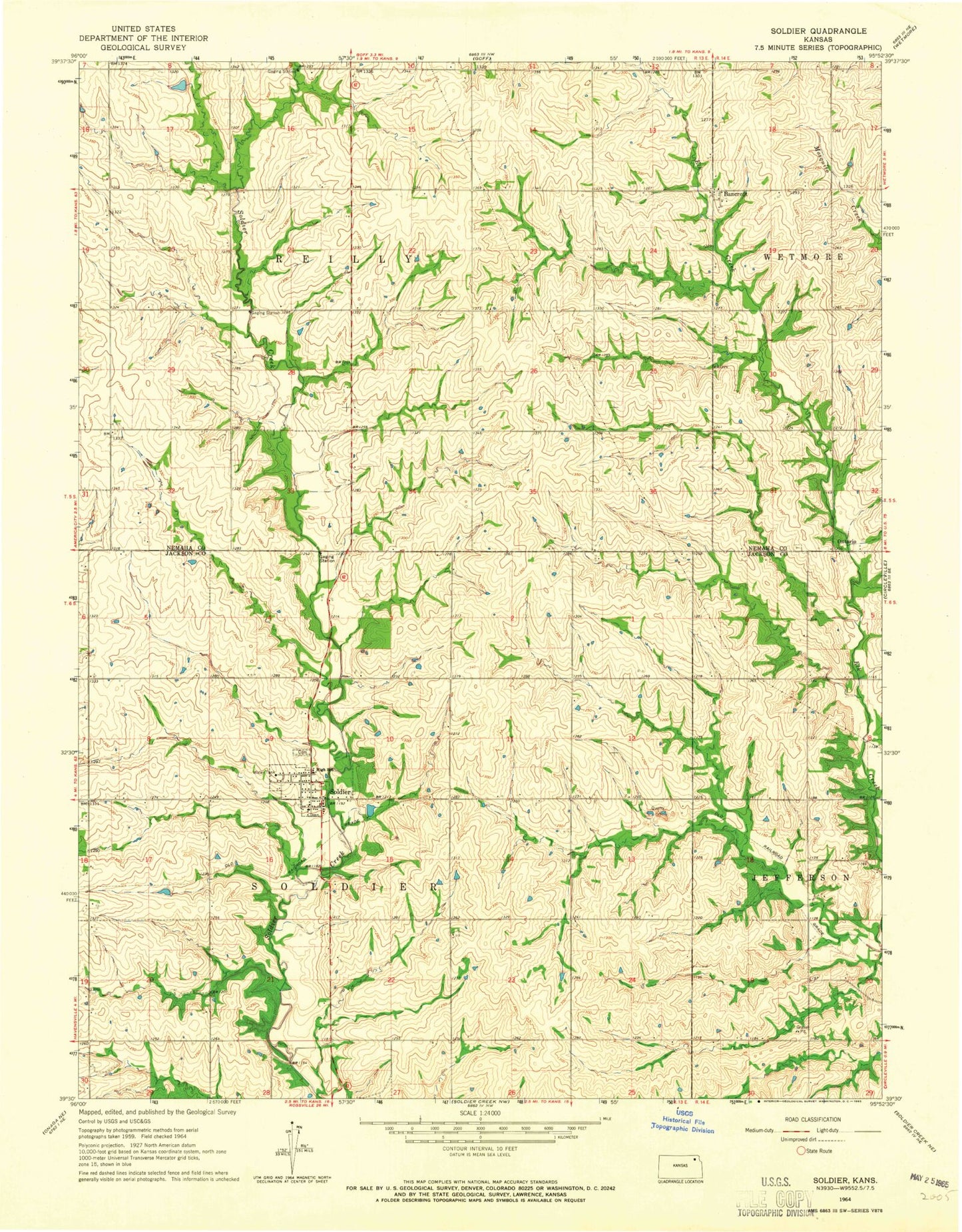
Classic USGS Soldier Kansas 7.5'x7.5' Topo Map
Couldn't load pickup availability
Historical USGS topographic quad map of Soldier in the state of Kansas. Map scale may vary for some years, but is generally around 1:24,000. Print size is approximately 24" x 27"
This quadrangle is in the following counties: Jackson, Nemaha.
The map contains contour lines, roads, rivers, towns, and lakes. Printed on high-quality waterproof paper with UV fade-resistant inks, and shipped rolled.
Contains the following named places: Bancroft, Bancroft Depot Museum, City of Soldier, Jackson County Rural Fire District 2 Soldier Station, Ontario, Ontario Cemetery, Soldier, Soldier Cemetery, Soldier Christian Church, Soldier Post Office, Soldier Wastewater Treatment Plant, Township of Reilly, Township of Soldier