MyTopo
Classic USGS Soldiers Farewell Hill New Mexico 7.5'x7.5' Topo Map
Couldn't load pickup availability
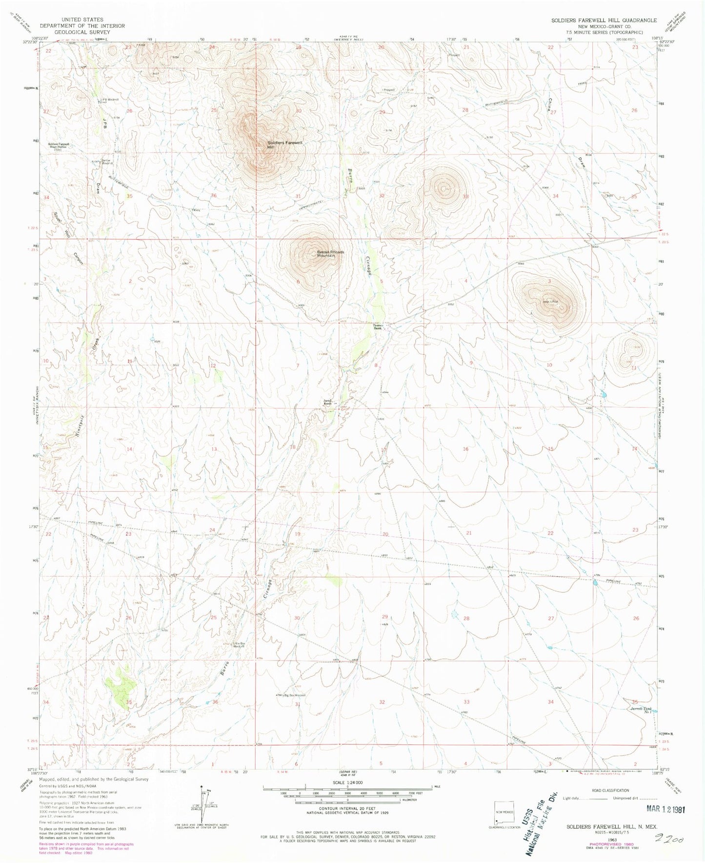
Historical USGS topographic quad map of Soldiers Farewell Hill in the state of New Mexico. Map scale may vary for some years, but is generally around 1:24,000. Print size is approximately 24" x 27"
This quadrangle is in the following counties: Grant.
The map contains contour lines, roads, rivers, towns, and lakes. Printed on high-quality waterproof paper with UV fade-resistant inks, and shipped rolled.
Contains the following named places: Barrow Windmill, Bessie Rhoads Mountain, Big Box Windmill, Butterfield Trail, Hurley Division, J P B Water Well, Japanese Ranch Deposit, Jarrell Ranch, Jarrell Tank Number 1, JPB Draw, JPB Windmill, Little Box Windmill, Soldiers Farewell Hill, Soldiers Farewell Stage Station, South Well Canyon, Thorne Ranch