MyTopo
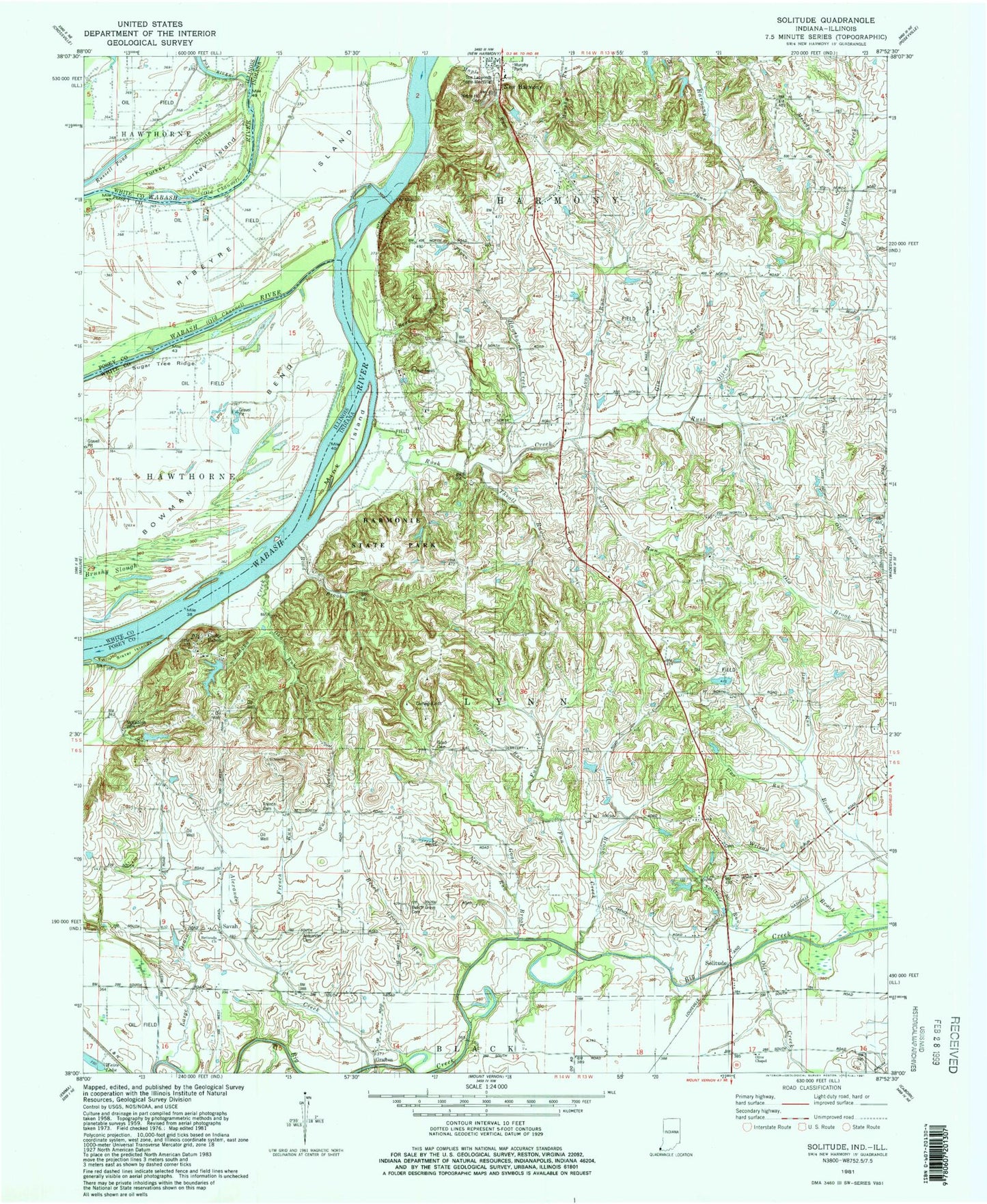
Classic USGS Solitude Indiana 7.5'x7.5' Topo Map
Couldn't load pickup availability
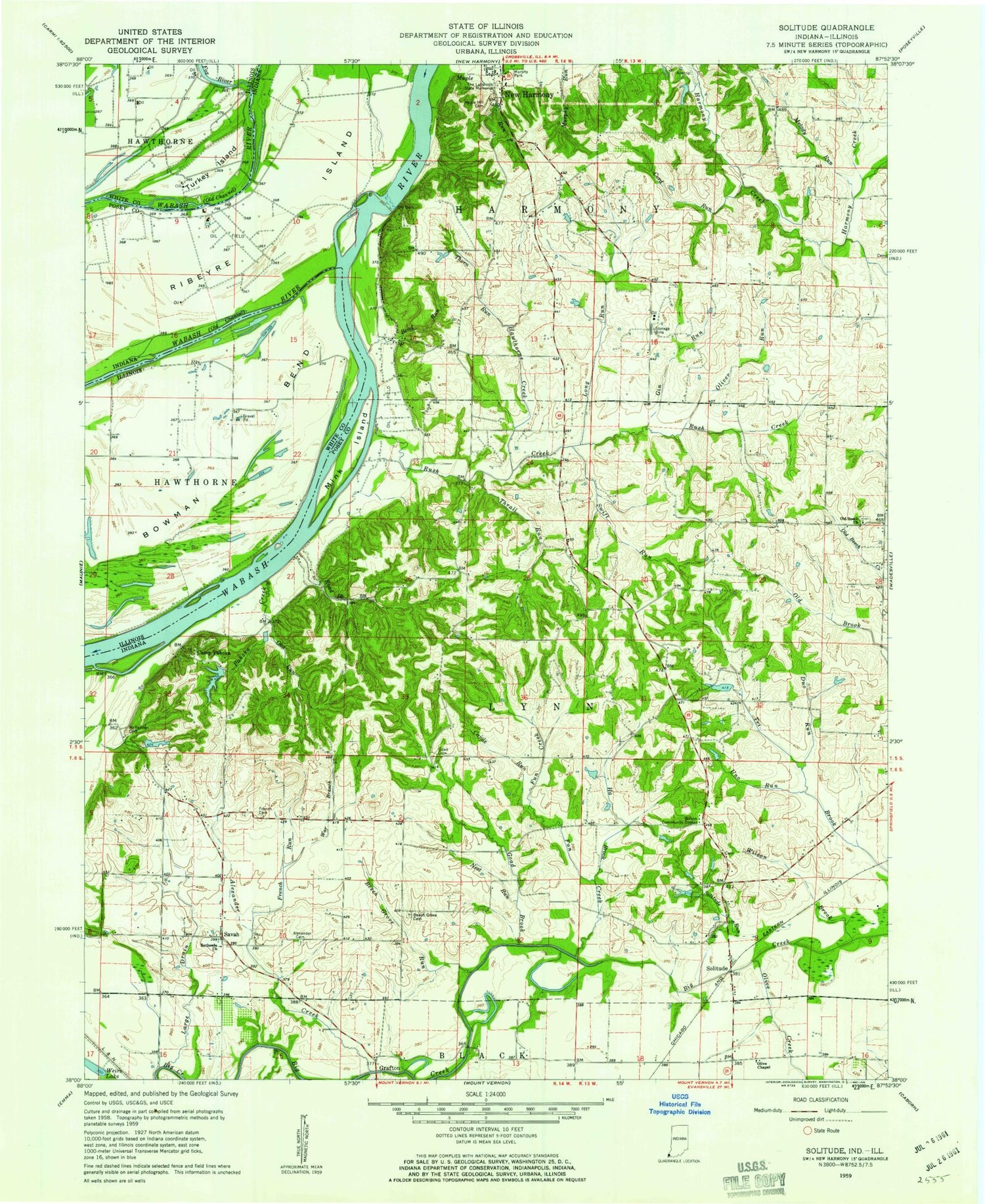
Historical USGS topographic quad map of Solitude in the states of Indiana, Illinois. Typical map scale is 1:24,000, but may vary for certain years, if available. Print size: 24" x 27"
This quadrangle is in the following counties: Posey, White.
The map contains contour lines, roads, rivers, towns, and lakes. Printed on high-quality waterproof paper with UV fade-resistant inks, and shipped rolled.
Contains the following named places: Alexander Cemetery, Alexander Creek, Beech Grove Cemetery, Beech Grove Run, Bend Run, Bethesda Church, Camp Pahoka, Cord Run, Duo Run, French Cemetery, French Run, Fun Creek, Gin Run, Goad Brook, Grafton, Ha Brook Creek, Hawthorne Creek, Large Drain, Long Run, Maple Hill Cemetery, Maple Run, McFadden Cemetery, Melody Run, Murphy Park, Nest Run, Oka Run, Olive Chapel, Olive Creek, Oliver Run, Pahoka Creek, Ribeyre Island, Road Brook, Rush Creek, Savah, Solitude, Solitude Run, Swift Run, The Labyrinth State Memorial, Thorn Run, Thrall Run, Uno Run, Wabash River Old Channel, War Branch, Wilson Brook, Harmonie State Park, New Harmony State Memorial, Harmonist Cemetery, Pahoka Camp Lake Dam, Pahoka Camp Lake, Wilson Community Center, Solitude Post Office (historical), Township of Harmony, Township of Lynn, Culley Acres Airport, Bowman Bend, Fox River, Russell Pond, Turkey Island