MyTopo
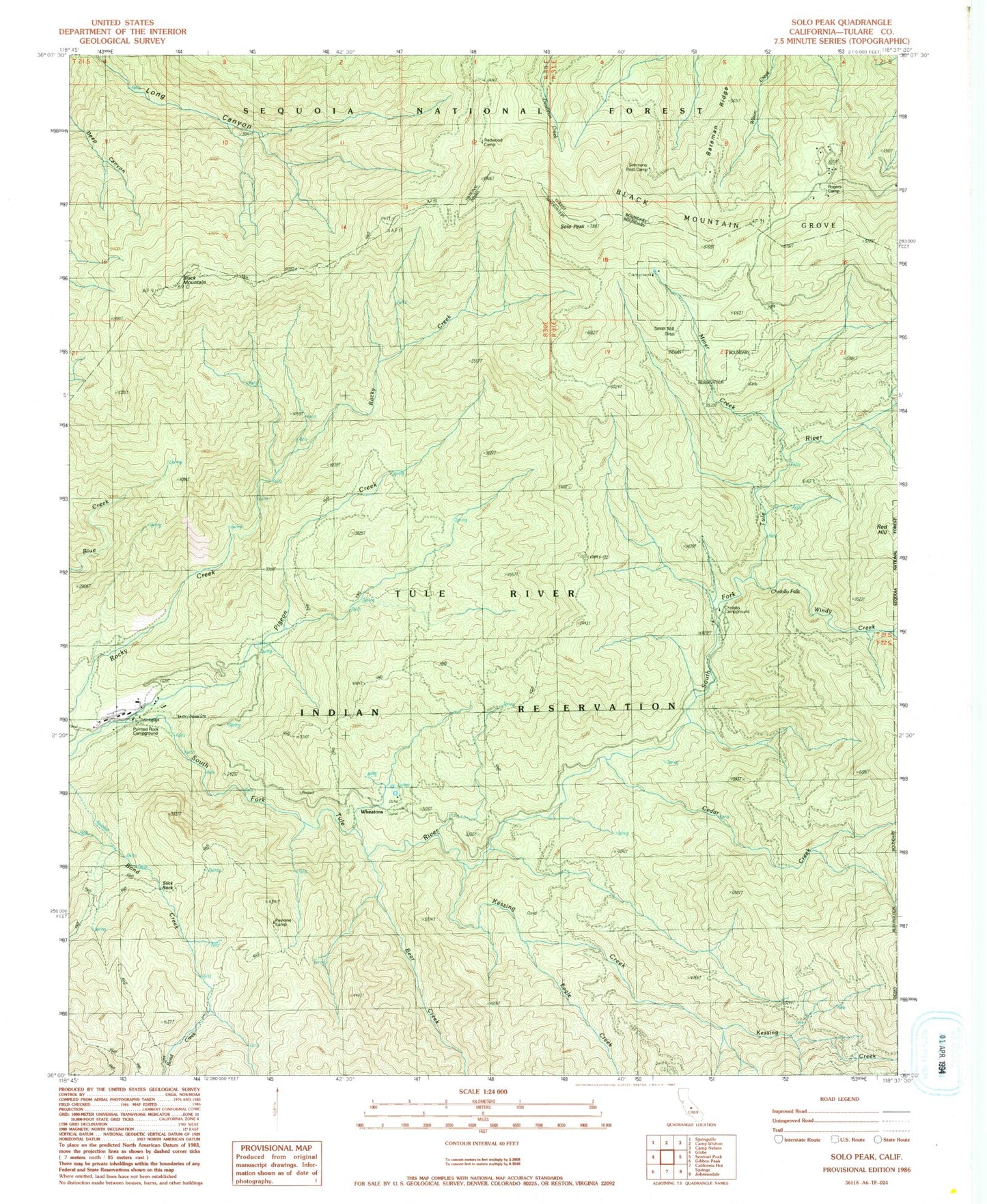
Classic USGS Solo Peak California 7.5'x7.5' Topo Map
Couldn't load pickup availability
Historical USGS topographic quad map of Solo Peak in the state of California. Typical map scale is 1:24,000, but may vary for certain years, if available. Print size: 24" x 27"
This quadrangle is in the following counties: Tulare.
The map contains contour lines, roads, rivers, towns, and lakes. Printed on high-quality waterproof paper with UV fade-resistant inks, and shipped rolled.
Contains the following named places: Bateman Ridge, Bear Creek, Black Mountain Grove, Black Mountain Trail, Cedar Creek, Eagle Creek, Kessing Creek, Miner Creek, Pigeon Creek, Redwood Camp, Rogers Camp, Simmons Post Camp, Solo Peak, Windy Creek, Red Hill, Tule River Reservation, Pigeon Creek Sawmill, Black Mountain, Smith Mill, Cholollo Campground, Cholollo Falls, Painted Rock Campground, Peyrone Camp, Slick Rock, Wheatons