MyTopo
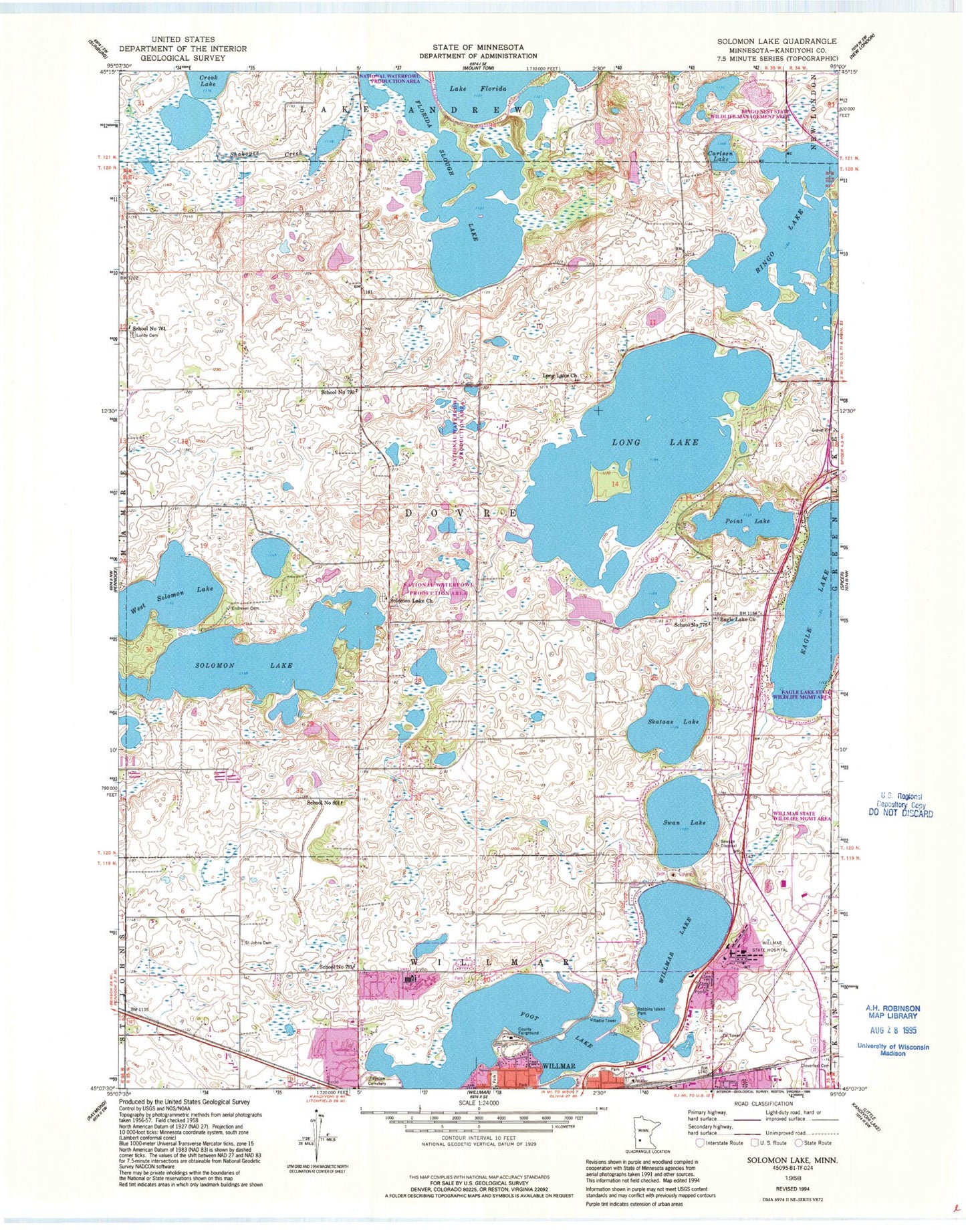
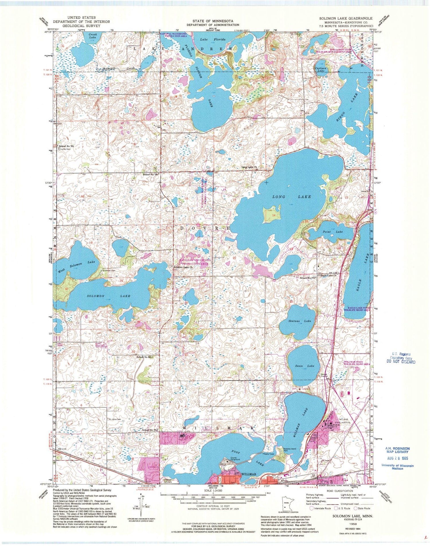
Classic USGS Solomon Lake Minnesota 7.5'x7.5' Topo Map
Couldn't load pickup availability
Historical USGS topographic quad map of Solomon Lake in the state of Minnesota. Map scale may vary for some years, but is generally around 1:24,000. Print size is approximately 24" x 27"
This quadrangle is in the following counties: Kandiyohi.
The map contains contour lines, roads, rivers, towns, and lakes. Printed on high-quality waterproof paper with UV fade-resistant inks, and shipped rolled.
Contains the following named places: Carlson Lake, Cloverleaf Memorial Park Cemetery, College View Park, Eagle Creek Golf Course, Eagle Lake, Eagle Lake Cemetery, Eagle Lake Church, Endresen Cemetery, Fairview Cemetery, Fischer Unit Dam, Florida Lake, Florida Lake Dam, Florida Slough Lake, Florida Slough Lake Structure Dam, Foot Lake, Geology of the Willmar Region Historical Marker, Guri Endresen Rosseland State Monument, Hanson Park, Hedin Park, Infinia at Willmar, Kandiyohi County, Kandiyohi County Fairgrounds, Kandiyohi County Historical Society Museum, Kandiyohi County Jail, Kandiyohi County Sheriff's Office, KQIC-FM (Willmar), KWLM-AM (Willmar), Long Lake, Long Lake Cemetery, Long Lake Church, Lunby Cemetery, Northside Park, Oslo Lake, Parkwood Estates, Point Lake, Rau Park, Ridgewater College - Willmar Campus, Ringo Lake, Robbins Island Park, Saint Johns Cemetery, School Number 761, School Number 776, School Number 781, School Number 790, School Number 801, Skataas Lake, Solomon Lake, Solomon Lake Church, Sperry Park, Spiritual Life Church, Swan Lake, Thompson Park, Township of Dovre, Triumphant Life Church, Valleyside Park, Vikor Lutheran Church Cemetery, Vos Park, Weber Unit Fish and Wildlife Control Dam, West Solomon Lake, Willmar Air Force Station, Willmar Chemical Dependency Services, Willmar Child and Adolescent Behavioral Health Services, Willmar Lake, Willmar Police Department, Willmar Regional Treatment Center, Willmar Senior High School, Willmar State Wildlife Management Area


