MyTopo
Classic USGS Solomons Temple California 7.5'x7.5' Topo Map
Couldn't load pickup availability
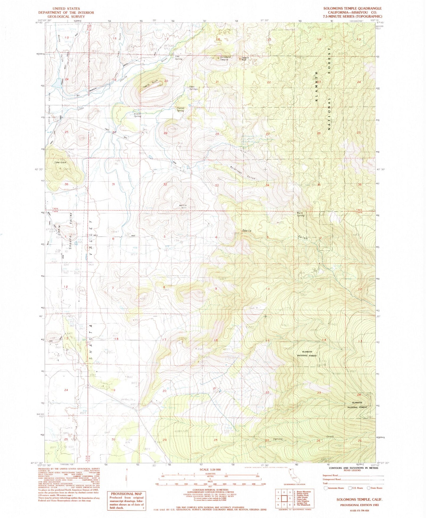
Historical USGS topographic quad map of Solomons Temple in the state of California. Map scale may vary for some years, but is generally around 1:24,000. Print size is approximately 24" x 27"
This quadrangle is in the following counties: Siskiyou.
The map contains contour lines, roads, rivers, towns, and lakes. Printed on high-quality waterproof paper with UV fade-resistant inks, and shipped rolled.
Contains the following named places: Camelback, Cold Spring, Davis, Davis Gulch, Evans Spring, Fogg Gulch, Hart, Hovey Gulch, Hovey Gulch School, Jims Springs, Kegg, Lema, Martin, Martin Hill, Ray Soule Reservoir 182 Dam, Solomons Temple, Spring Creek, Table Rock, Temple Rock, Terwilliger Walters, Tunnel Spring, Walbridge Gulch, Warm Spring, Williams