MyTopo
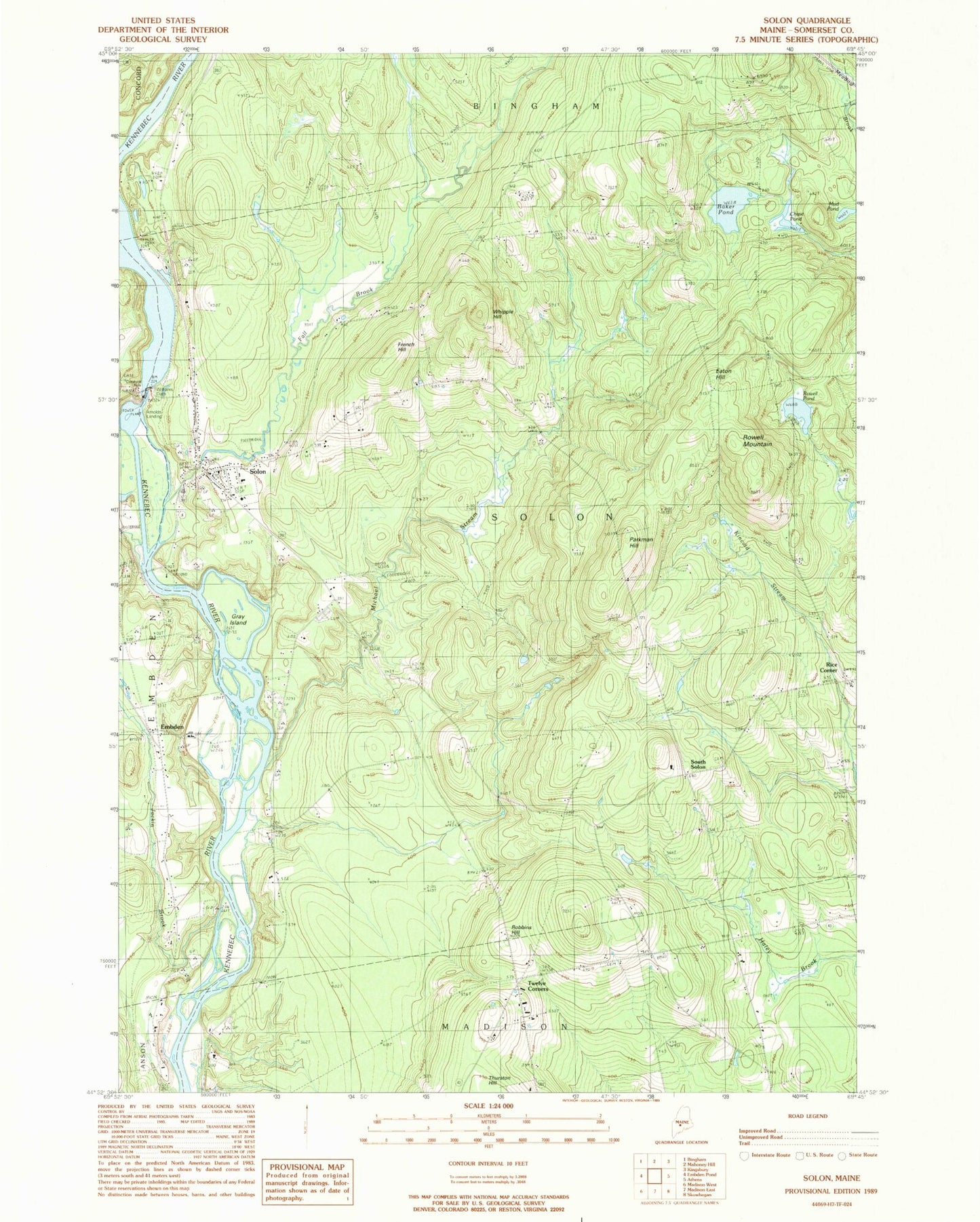
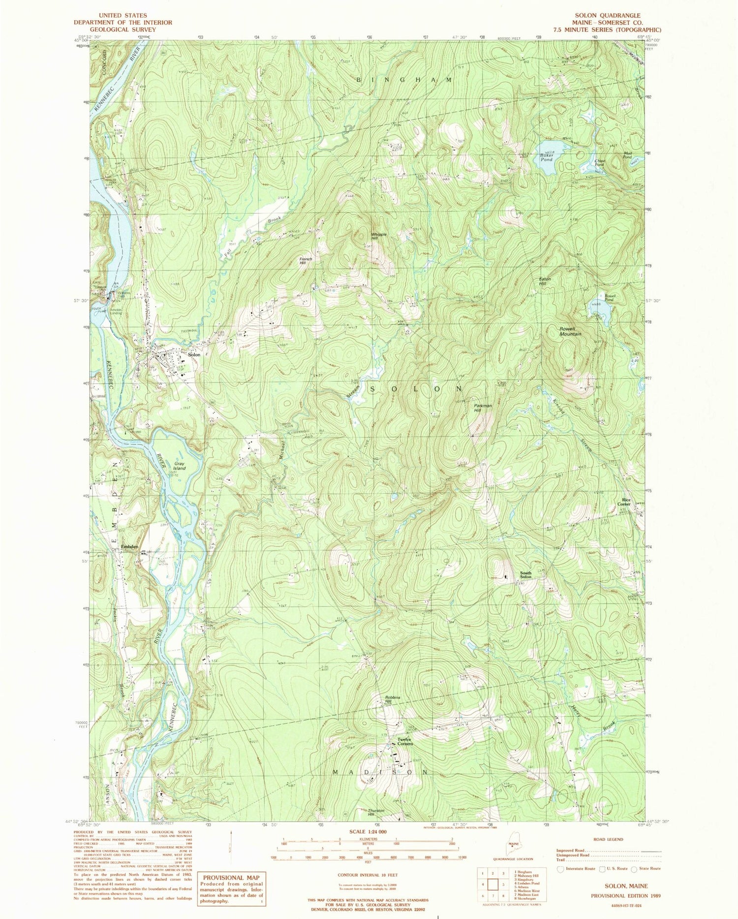
Classic USGS Solon Maine 7.5'x7.5' Topo Map
Couldn't load pickup availability
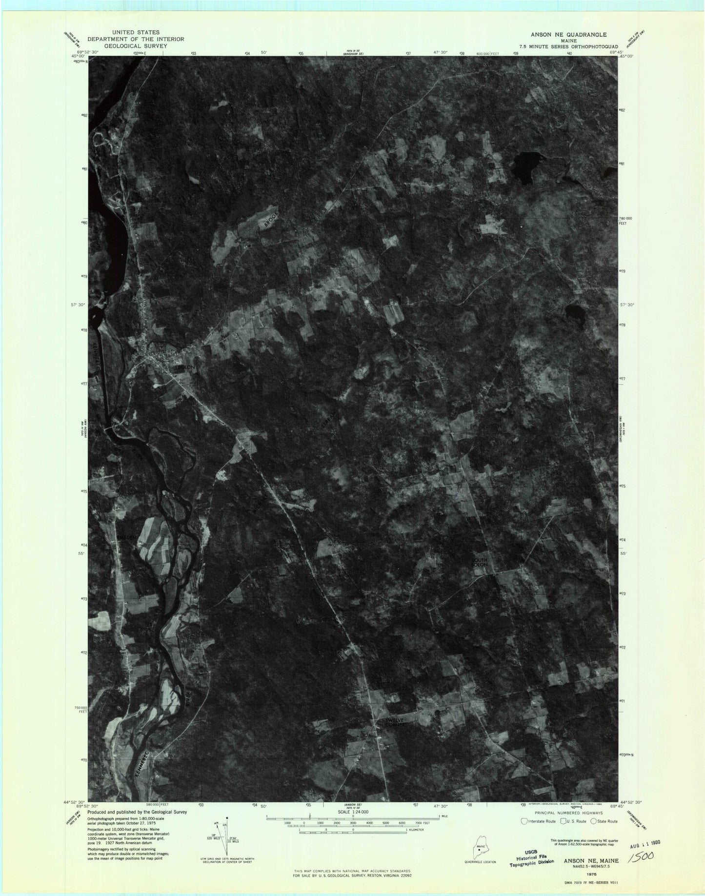
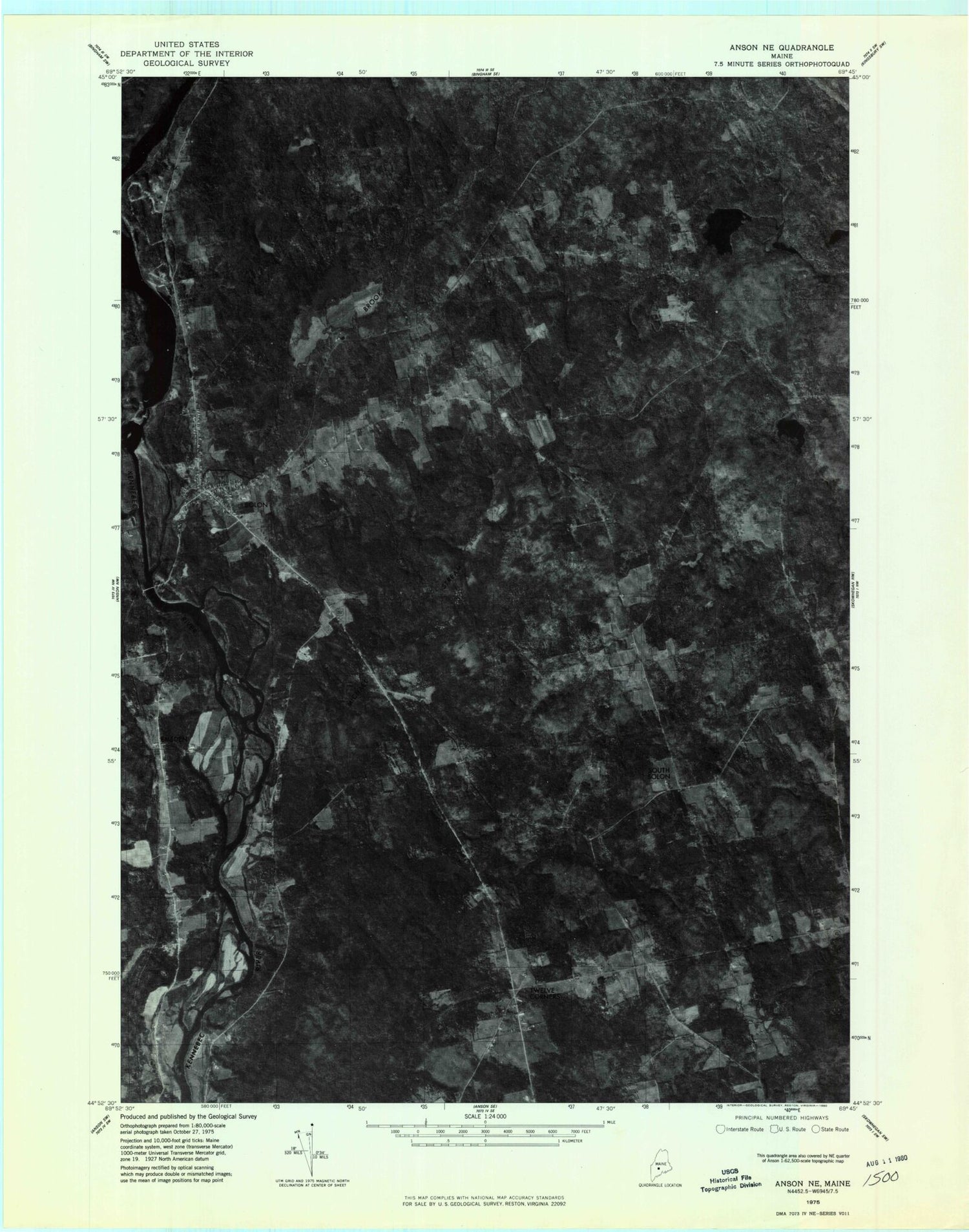
Historical USGS topographic quad map of Solon in the state of Maine. Typical map scale is 1:24,000, but may vary for certain years, if available. Print size: 24" x 27"
This quadrangle is in the following counties: Somerset.
The map contains contour lines, roads, rivers, towns, and lakes. Printed on high-quality waterproof paper with UV fade-resistant inks, and shipped rolled.
Contains the following named places: Baker Pond, Caratunk Falls, Chase Pond, Eaton Hill, Evergreens Cemetery, Fall Brook, French Hill, Gray Island, Jewett Cemetery, Mill Stream, Mud Pond, Parkman Hill, Pierce Cemetery, Robbins Hill, Rowell Mountain, Rowell Pond, Solon, Twelve Corners, Whipple Hill, Alder Brook, Jackin Brook, Michael Stream, Purington School (historical), Arnolds Landing, Embden, Rice Corner, South Solon, Town of Solon, Williams Dam, Kennebec River Reservoir, Coolidge Library, Solon Congregational Church, Solon Elementary School, Solon Post Office, Solon Volunteer Fire Department


