MyTopo
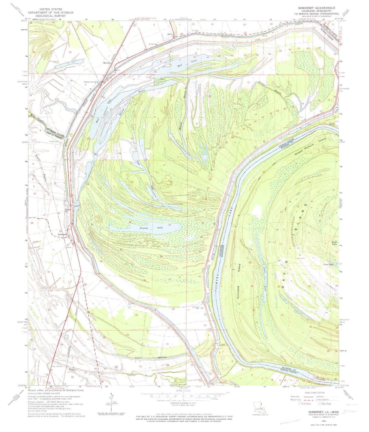
Classic USGS Somerset Louisiana 7.5'x7.5' Topo Map
Couldn't load pickup availability
Historical USGS topographic quad map of Somerset in the states of Louisiana, Mississippi. Map scale may vary for some years, but is generally around 1:24,000. Print size is approximately 24" x 27"
This quadrangle is in the following counties: Madison, Tensas, Warren.
The map contains contour lines, roads, rivers, towns, and lakes. Printed on high-quality waterproof paper with UV fade-resistant inks, and shipped rolled.
Contains the following named places: Afton, Allendale Cemetery, Ashville, Ashwood Landing, Bayou du Rosset, Bridgie Bayou, Duck Lake, Grassy Lake, Hapaca Planatation, Hurricane, Hurricane Island, Ione Plantation, Lake Shallow, Middle Palmyra Island, Mill Lake, Mound Bayou, Mud Lake, Negro Bayou, New Carthage, Palmyra Bend, Palmyra Lake, Pasture Green Church, Quimby, Richland Plantation, Saint John Cemetery, Saint John Church, Saint Paul Church, Snyder Cemetery, Somerset, Somerset Cemetery, Somerset Landing, Somerset Plantation, Woodburn Plantation