MyTopo
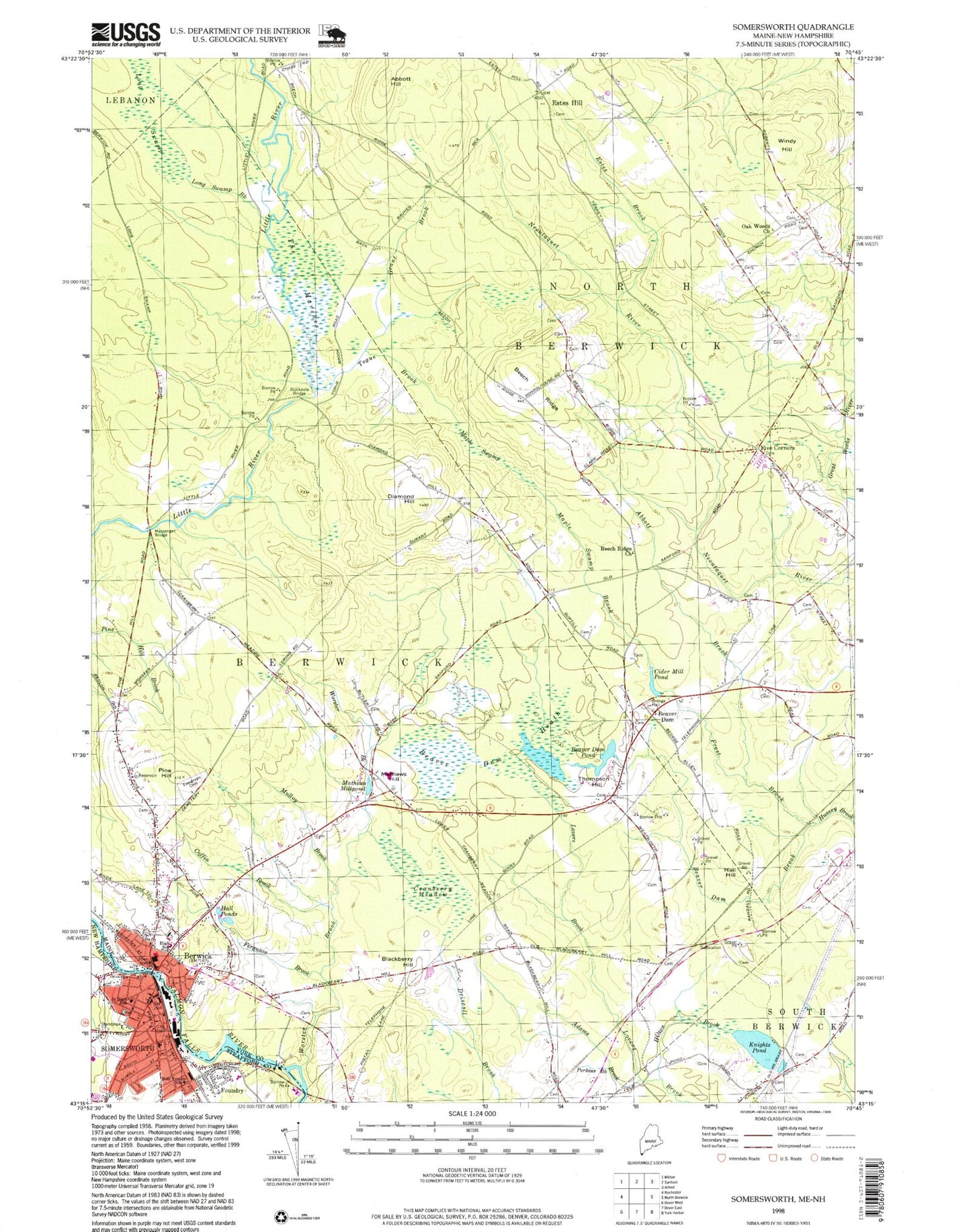
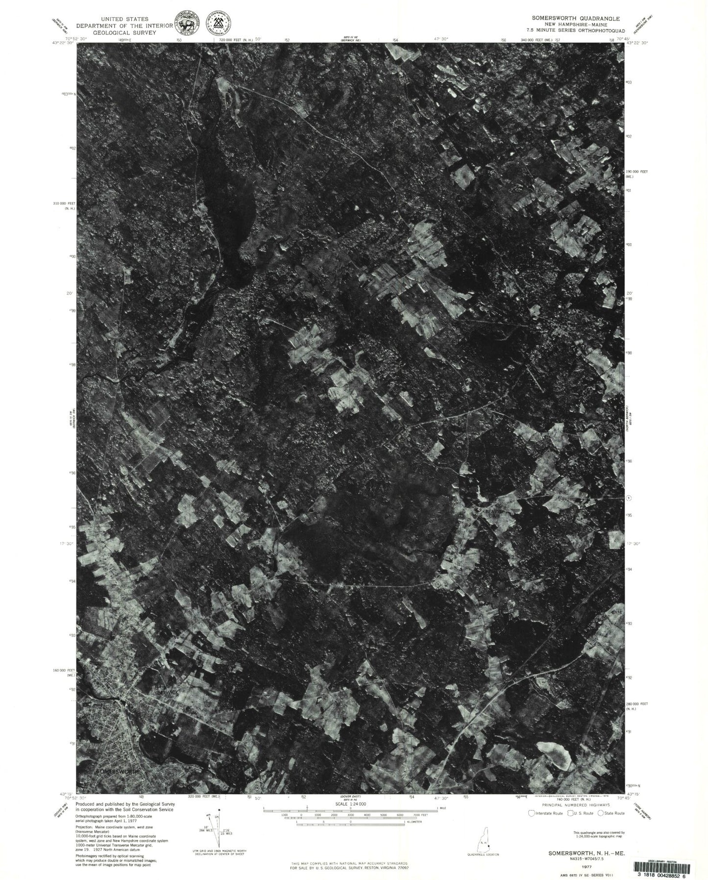
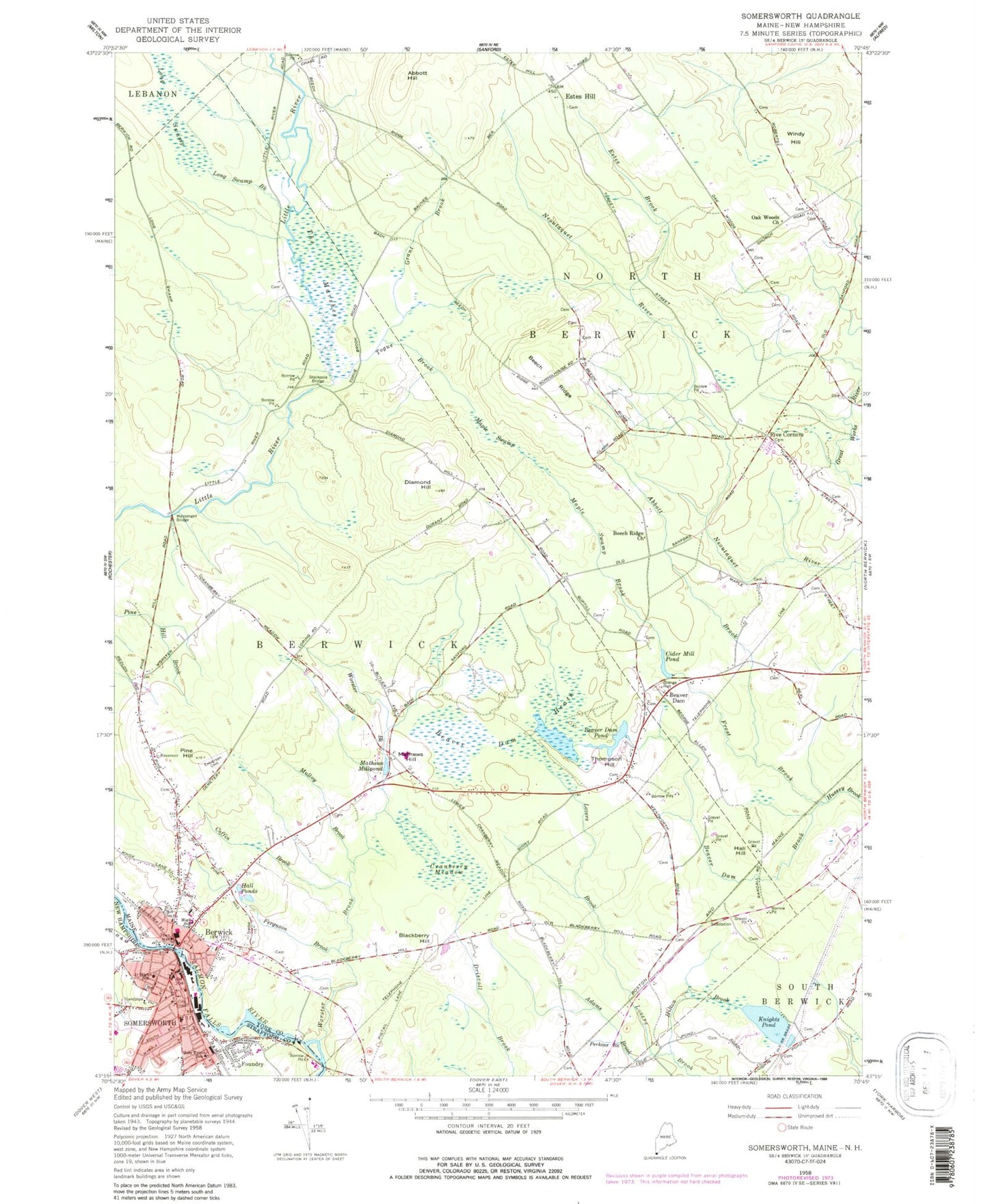
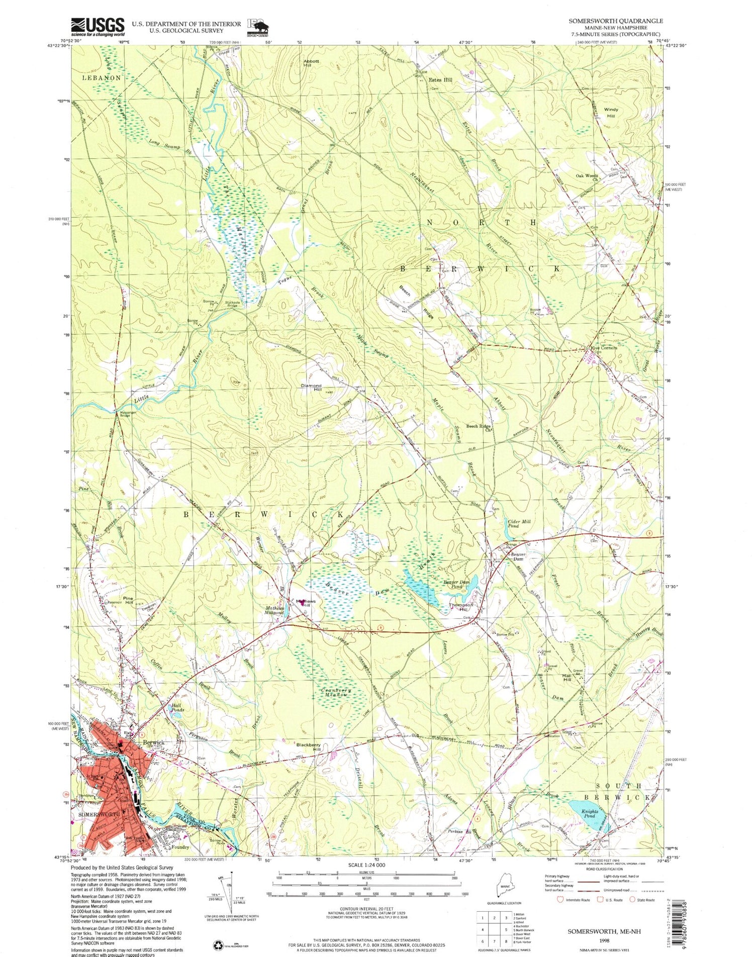
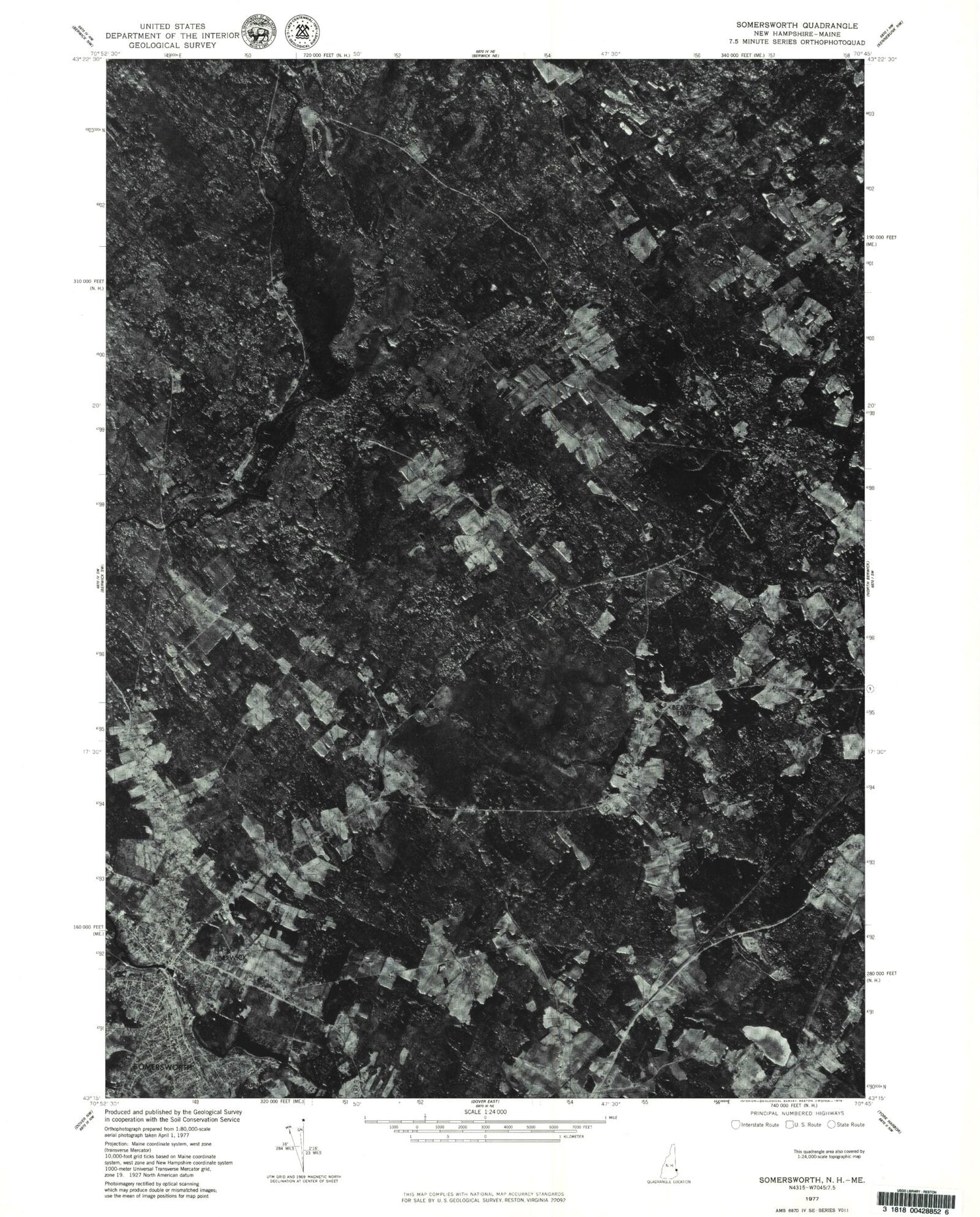
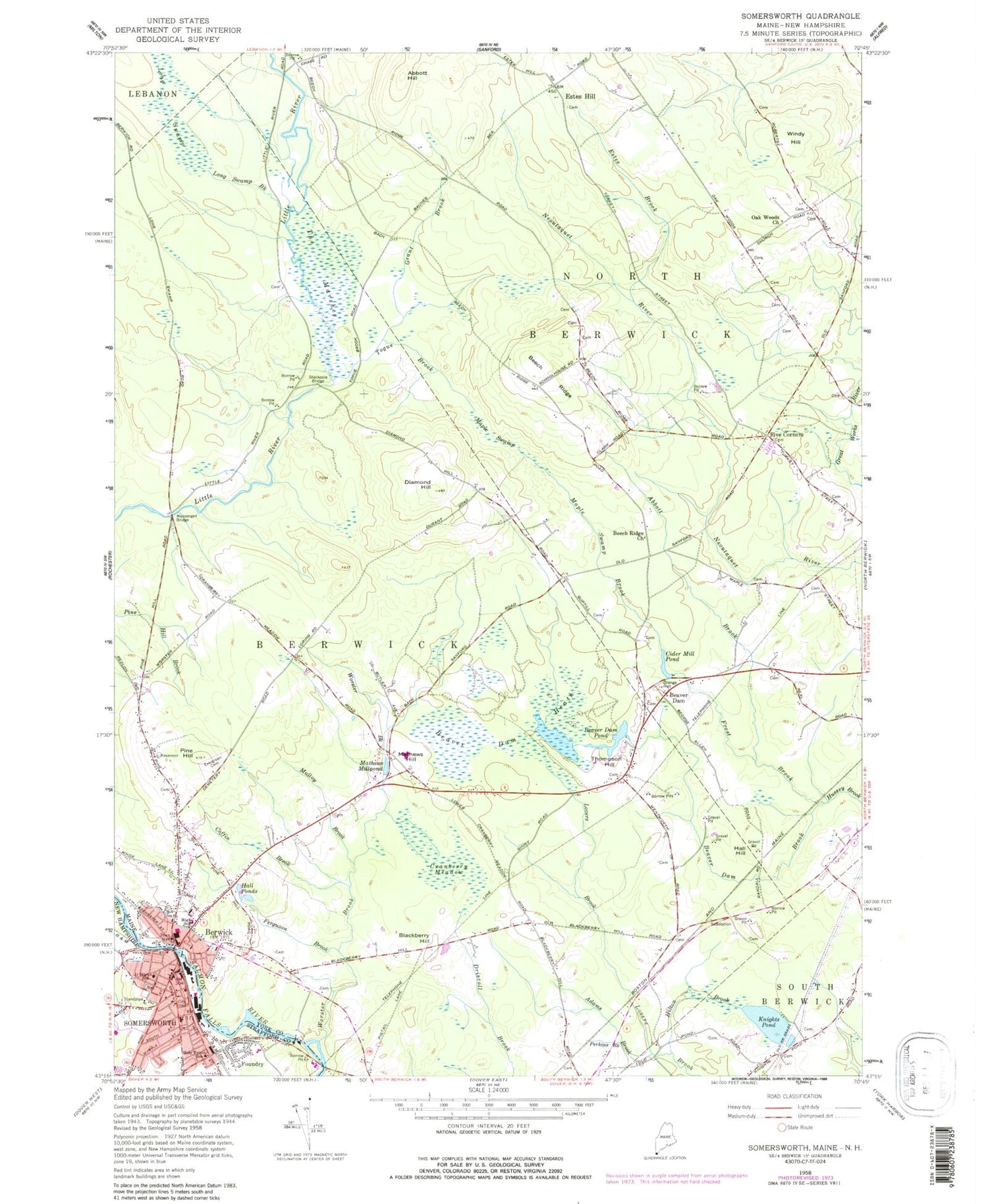
Classic USGS Somersworth New Hampshire 7.5'x7.5' Topo Map
Couldn't load pickup availability
Historical USGS topographic quad map of Somersworth in the states of New Hampshire, Maine. Typical map scale is 1:24,000, but may vary for certain years, if available. Print size: 24" x 27"
This quadrangle is in the following counties: Strafford, York.
The map contains contour lines, roads, rivers, towns, and lakes. Printed on high-quality waterproof paper with UV fade-resistant inks, and shipped rolled.
Contains the following named places: Foundry, Holy Trinity School, Somersworth, New Dam, Great Falls Upper Dam, Salmon Falls River Reservoir, Greater Somersworth Chamber of Commerce, Hilltop School, Jules Bisson Park, Noble Pines Park, Somersworth City Hall, Somersworth Middle School, Somersworth Pentecostal Church, Somersworth Post Office, Somersworth Public Library, Somersworth Shopping Center, Washington Street Shopping Center, Strafford Learning Center, Somersworth Christian Education Center, Abbott Brook, Abbott Hill, Adams Brook, Beaver Dam, Beaver Dam Brook, Beaver Dam Heath, Beaver Dam Pond, Beech Ridge, Beech Ridge Church, Berwick, Blackberry Hill, Cider Mill Pond, Coffin Brook, Cranberry Meadow, Diamond Hill, Estes Brook, Evergreen Cemetery, Ferguson Brook, Five Corners, Frost Brook, Grant Brook, Hall Hill, Hall Ponds, Hilton Brook, Knights Pond, Long Swamp, Long Swamp Brook, Maple Swamp, Maple Swamp Brook, Mathews Hill, Mathews Millpond, Messenger Bridge, Mulloy Brook, Oak Woods Church, Perkins Brook, Pine Hill, Stackpole Bridge, The Marshes, Thompson Hill, Togue Brook, Windy Hill, Worster Brook, Estes Hill, Town of Berwick, Town of North Berwick, Cider Mill Dam, Beaver Dam Pond Dam, Berwick Elementary School, Berwick Full Gospel Church, Birch Hill, Newhope Community Church, Newichawanoc (historical), Noble High School, Berwick Post Office, Pine Hill School (historical), Spring Hill Recreation Area, Vivian E Hussey School, Berwick Census Designated Place, Perrotti Skyranch Airfield, Berwick Fire Department, North Berwick Rescue Squad, Berwick Police Department, Eric L Knowlton School, Noble Middle School, Childlight Montessori School, Cornerstone Kindergarten School, Berwick Public Library, Foundry, Holy Trinity School, Somersworth, New Dam, Great Falls Upper Dam, Salmon Falls River Reservoir, Greater Somersworth Chamber of Commerce, Hilltop School, Jules Bisson Park, Noble Pines Park, Somersworth City Hall, Somersworth Middle School, Somersworth Pentecostal Church, Somersworth Post Office, Somersworth Public Library, Somersworth Shopping Center, Washington Street Shopping Center, Strafford Learning Center, Somersworth Christian Education Center, Abbott Brook, Abbott Hill, Adams Brook, Beaver Dam, Beaver Dam Brook, Beaver Dam Heath, Beaver Dam Pond, Beech Ridge, Beech Ridge Church, Berwick, Blackberry Hill, Cider Mill Pond, Coffin Brook, Cranberry Meadow, Diamond Hill, Estes Brook, Evergreen Cemetery, Ferguson Brook, Five Corners, Frost Brook, Grant Brook, Hall Hill, Hall Ponds, Hilton Brook, Knights Pond, Long Swamp, Long Swamp Brook, Maple Swamp, Maple Swamp Brook, Mathews Hill, Mathews Millpond, Messenger Bridge, Mulloy Brook, Oak Woods Church, Perkins Brook, Pine Hill, Stackpole Bridge, The Marshes, Thompson Hill, Togue Brook, Windy Hill, Worster Brook, Estes Hill, Town of Berwick, Town of North Berwick, Cider Mill Dam, Beaver Dam Pond Dam, Berwick Elementary School, Berwick Full Gospel Church, Birch Hill, Newhope Community Church, Newichawanoc (historical), Noble High School, Berwick Post Office, Pine Hill School (historical), Spring Hill Recreation Area, Vivian E Hussey School, Berwick Census Designated Place, Perrotti Skyranch Airfield, Berwick Fire Department, North Berwick Rescue Squad, Berwick Police Department, Eric L Knowlton School, Noble Middle School, Childlight Montessori School, Cornerstone Kindergarten School, Berwick Public Library
