MyTopo
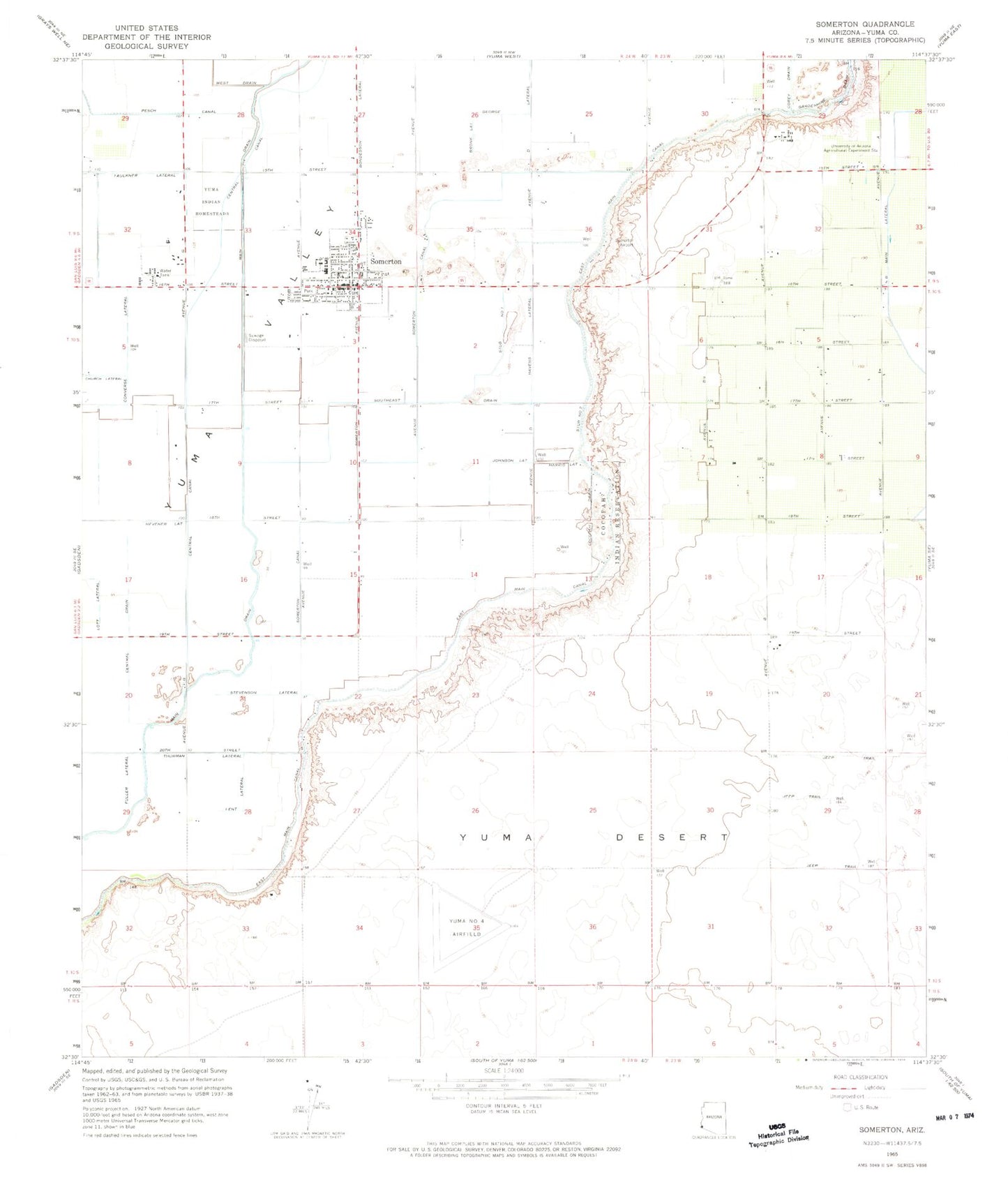
Classic USGS Somerton Arizona 7.5'x7.5' Topo Map
Couldn't load pickup availability
Historical USGS topographic quad map of Somerton in the state of Arizona. Map scale may vary for some years, but is generally around 1:24,000. Print size is approximately 24" x 27"
This quadrangle is in the following counties: Yuma.
The map contains contour lines, roads, rivers, towns, and lakes. Printed on high-quality waterproof paper with UV fade-resistant inks, and shipped rolled.
Contains the following named places: Abbott Lateral, B Main Lateral, Bondesson Lateral, Bronk Lateral, Cahoon Lateral, Carter Lateral, Case Lateral, Central Drain, Checkerboard Airport, Church Lateral, City of Somerton, Cocopah Drain, Converse Lateral, Corey Drain, Desert Sonora Elementary School, East Hearn Lateral, Faulkner Lateral, Fishbaugh Lateral, Franklin Lateral, Fuller Lateral, Garven Lateral, Graham Lateral, Harris Lateral, Havens Lateral, Hearn Lateral, Hevener Lateral, Iglesia de Dios Pentecostes, Johnson Lateral, Lateral B-2, Lent Lateral, Main Drain, Main Lateral, Mohawk Peak, Molina Lateral, Orange Grove Elementary School, Orange Grove Mobile Manor Census Designated Place, Rancho Mesa Verde Census Designated Place, Rolle Airfield, Rural / Metro Fire Department Station 8, Shields Lateral, Somerton, Somerton / Cocopah Fire Department, Somerton Airport, Somerton Canal, Somerton City Hall, Somerton Division, Somerton Lateral, Somerton Lateral Wasteway, Somerton Library, Somerton Middle School, Somerton Park, Somerton Police Department, Somerton Post Office, Southeast Drain, Stevenson Lateral, Stub Number One, Stub Number Two, Templo de Oracion, Thurman Lateral, Tierra del Sol Elementary School, Trevorrow Lateral, Tri-Rotor Ag Services Airport, Tuttle Lateral, University of Arizona Agricultural Experiment Station, Valle del Encanto Learning Center, West Drain, West Hearn Lateral, White Lateral, Yuma Number Four Airfield, ZIP Codes: 85349, 85350


