
MyTopo
Classic USGS Sondheimer Louisiana 7.5'x7.5' Topo Map
Couldn't load pickup availability
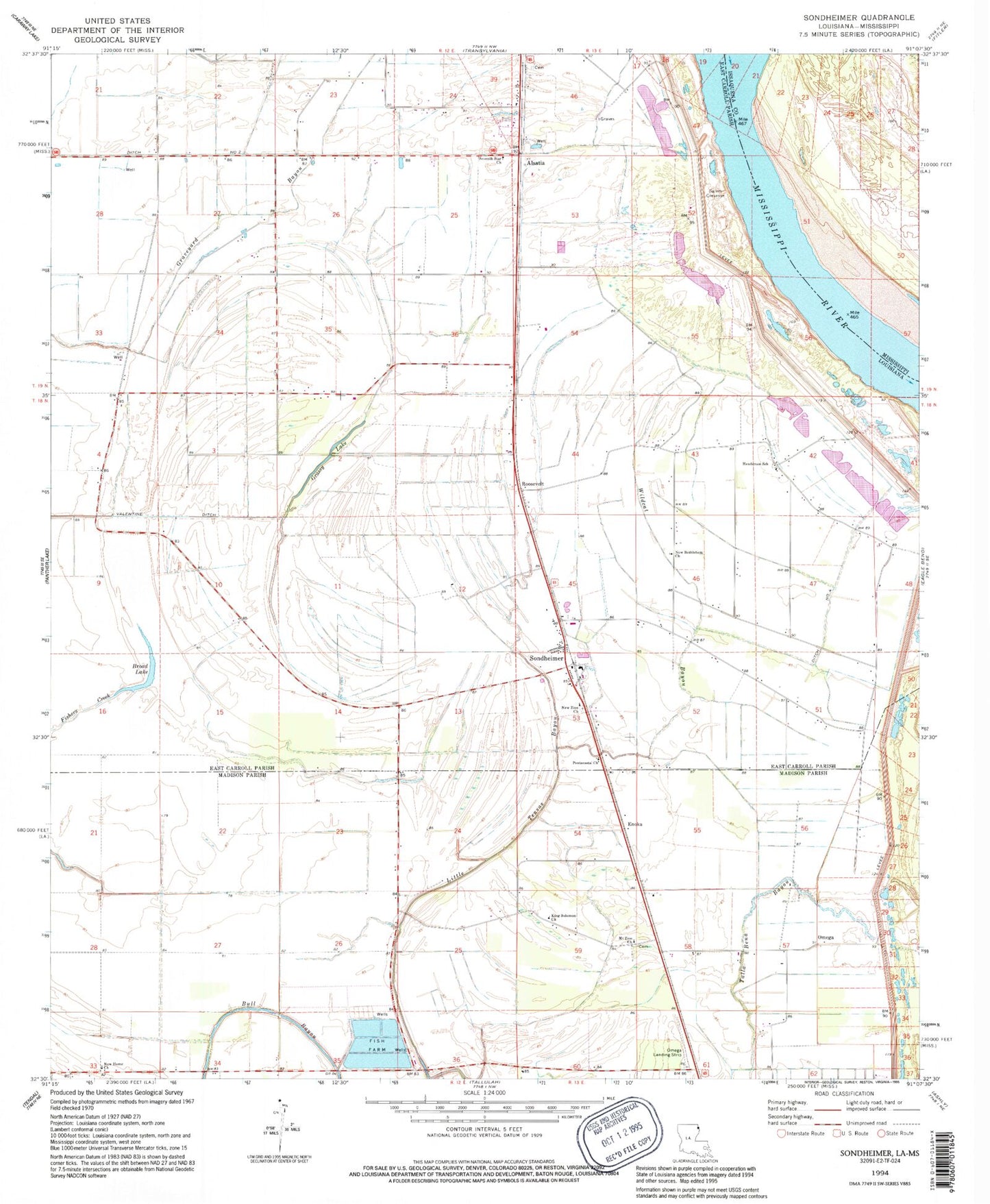
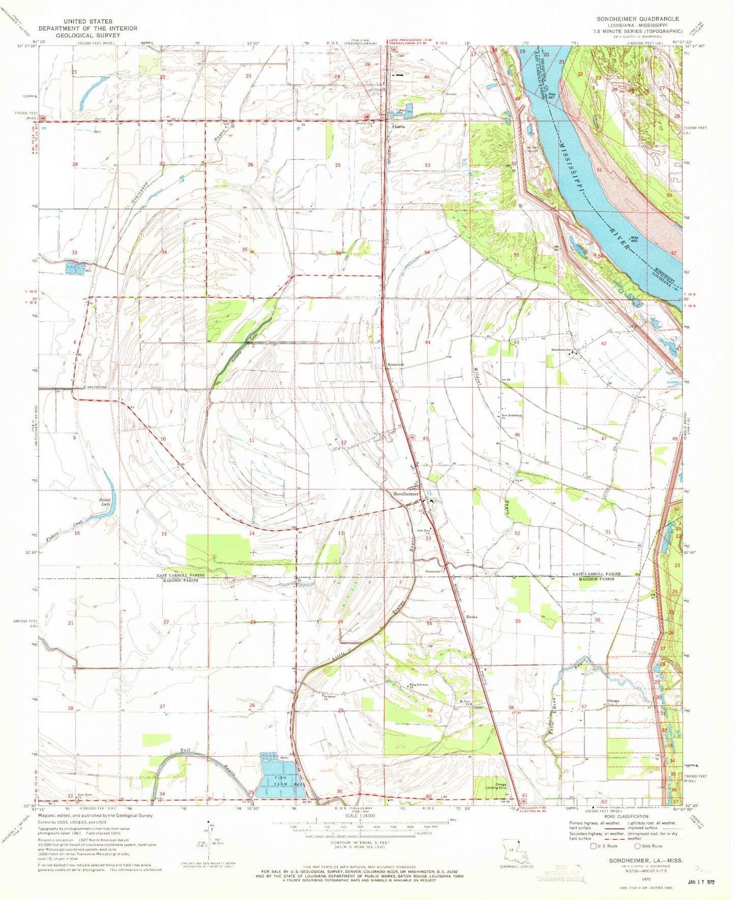
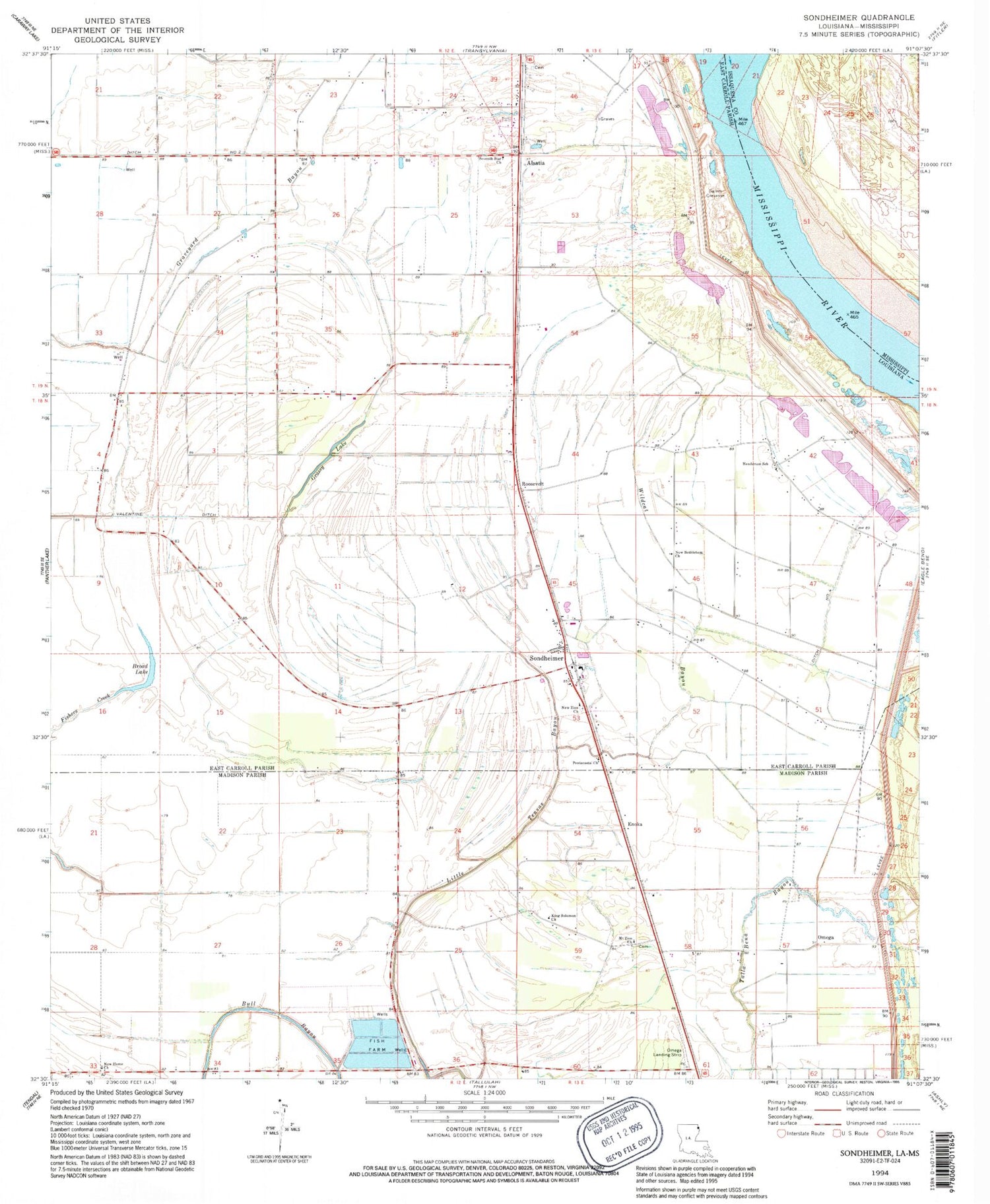
Historical USGS topographic quad map of Sondheimer in the state of Louisiana. Map scale may vary for some years, but is generally around 1:24,000. Print size is approximately 24" x 27"
This quadrangle is in the following counties: East Carroll, Issaquena, Madison.
The map contains contour lines, roads, rivers, towns, and lakes. Printed on high-quality waterproof paper with UV fade-resistant inks, and shipped rolled.
Contains the following named places: Alsatia, Bomer, Broad Lake, Bull Bayou, Ditch Number Two, Dogtail Landing, Enoka, Fishers Creek, Goodrich Landing, Goodrich Plantation, Goodrich Revetment, Grassy Lake, Henderson School, King Solomon Church, Little Tensas Bayou, Mount Zion Church, New Bethlehem Church, New Home Church, New Zion Church, Omega, Omega Landing Strip, Parish Governing Authority District 1, Roosevelt, Saint James Church, Salem Crevasse, Seventh Star Church, Sondheimer, Sondheimer Post Office, Stamboul, Ward One, Wildcat Bayou, ZIP Code: 71276