MyTopo
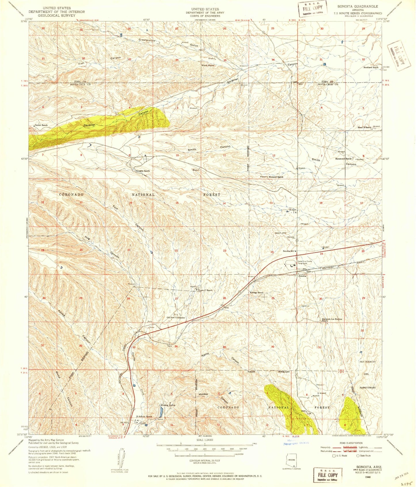
Classic USGS Sonoita Arizona 7.5'x7.5' Topo Map
Couldn't load pickup availability
Historical USGS topographic quad map of Sonoita in the state of Arizona. Map scale may vary for some years, but is generally around 1:24,000. Print size is approximately 24" x 27"
This quadrangle is in the following counties: Pima, Santa Cruz.
The map contains contour lines, roads, rivers, towns, and lakes. Printed on high-quality waterproof paper with UV fade-resistant inks, and shipped rolled.
Contains the following named places: Adobe Canyon, Alamo Canyon, Alamo Spring, Apache Spring, Boston Gulch, Chet Spring, Cottonwood Spring, Crown C Ranch, Douglas Ranch, Fish Canyon, Fort Buchanan, Fort Canyon, Fort Crittenden, Gardner Ranch, Hacienda Los Encino, Hammond Ranch, Harvest Christian Academy, Heart S Ranch, Hog Canyon, Kellogg Ranch, Kentucky Camp, Kentucky Gulch, Larimore, Little Fish Canyon, Louisiana Gulch, Mesa Tanks, Monkey Canyon, Monkey Spring, Ophir Gulch, Papago Springs Ranch, Rail X Ranch, Sonoita, Sonoita - Elgin Fire District, Sonoita Bible Church, Sonoita Census Designated Place, Sonoita District Number Twenty-Fiver School, Sonoita Post Office, Stoddard Ranch, Wilson Ranch, ZIP Code: 85637