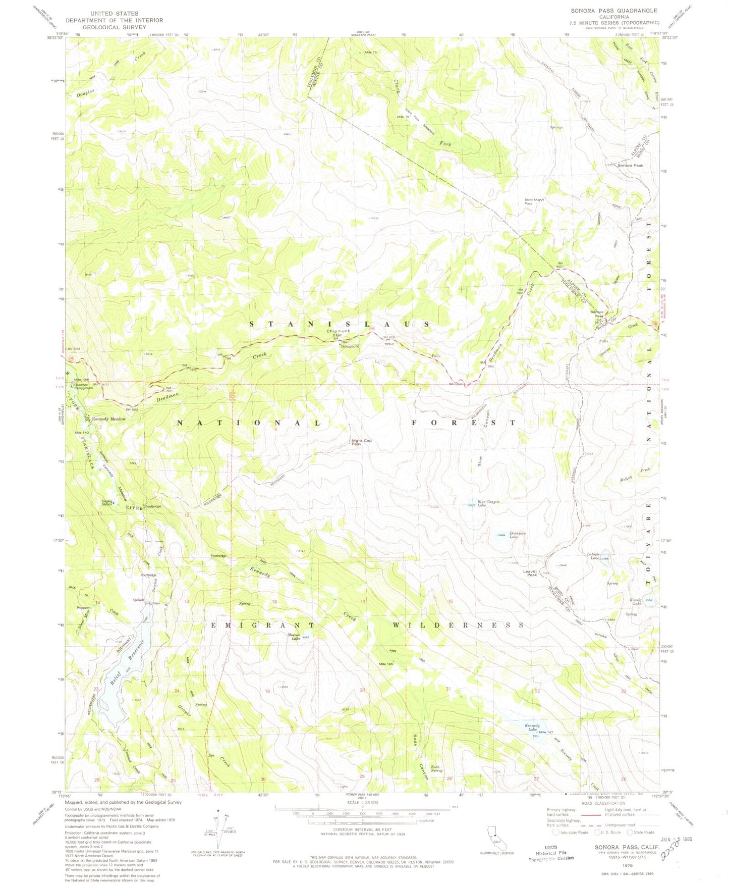
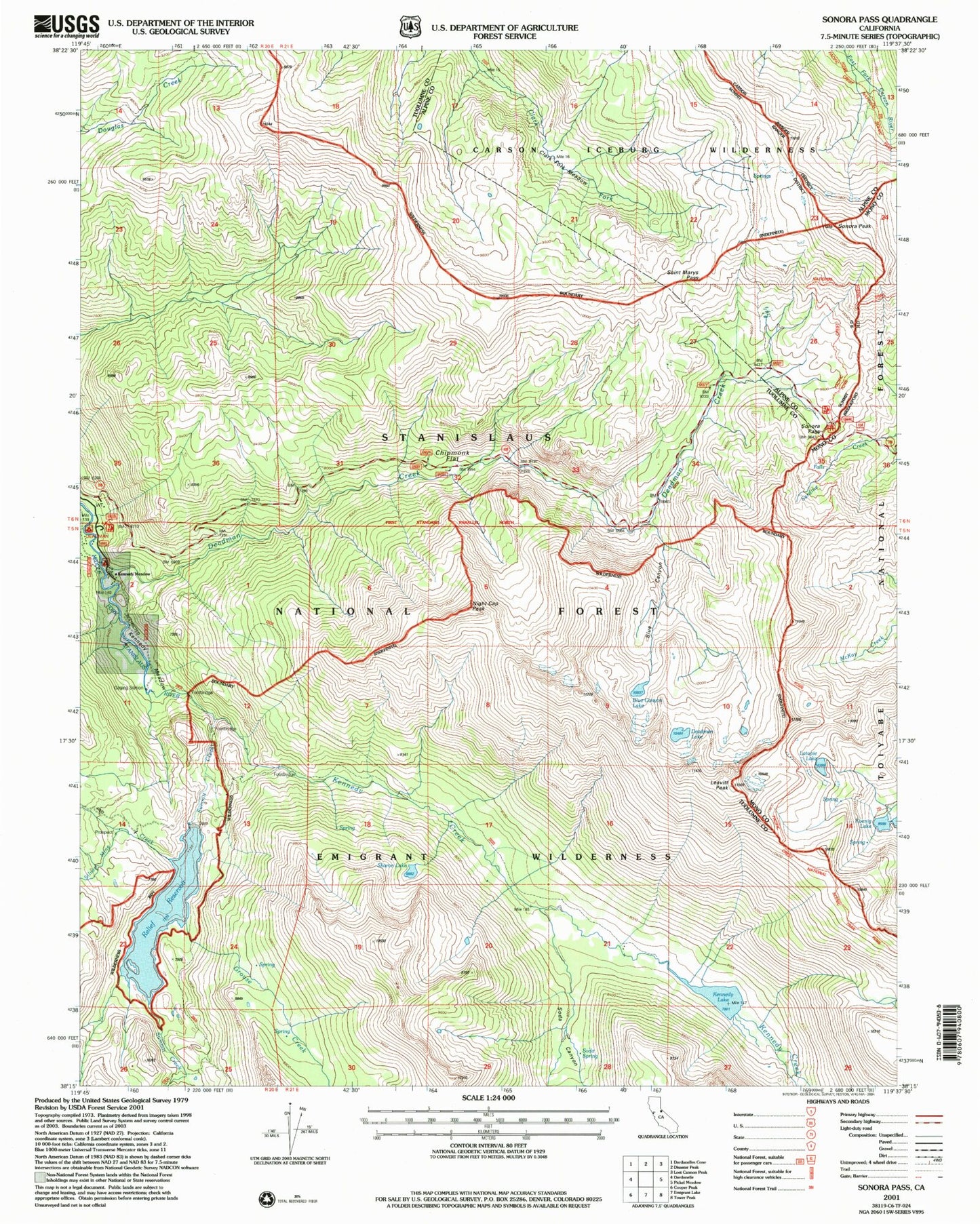
MyTopo
USGS Classic Sonora Pass California 7.5'x7.5' Topo Map
Couldn't load pickup availability
Historical USGS topographic quad map of Sonora Pass in the state of California. Scale: 1:24000. Print size: 24" x 27"
This quadrangle is in the following counties: Alpine, Mono, Tuolumne.
The map contains contour lines, roads, rivers, towns, lakes, and grids including latitude / longitude and UTM / MGRS. Printed on high-quality waterproof paper with UV fade-resistant inks.
Contains the following named places: Blue Canyon, Chipmunk Flat, Clark Fork Meadow, Deadman Creek, Deadman Lake, Kennedy Lake, Kennedy Meadow, Koenig Lake, Latopie Lake, Relief Reservoir, Saint Marys Pass, Silver Mine Creek, Soda Canyon, Sonora Peak, Summit Creek, Grouse Creek, Kennedy Creek, Blue Canyon Lake, Leavitt Peak, Night Cap Peak, Deadman Campground, Chipmunk Flat, East Flange Scenic Viewpoint, Que De Porka Resort, Kennedy Meadow, Deadman Flat Scenic Viewpoint, Relief 97-080 Dam, Sharon Lake, Sonora Pass, Deadman's Creek Grave