MyTopo
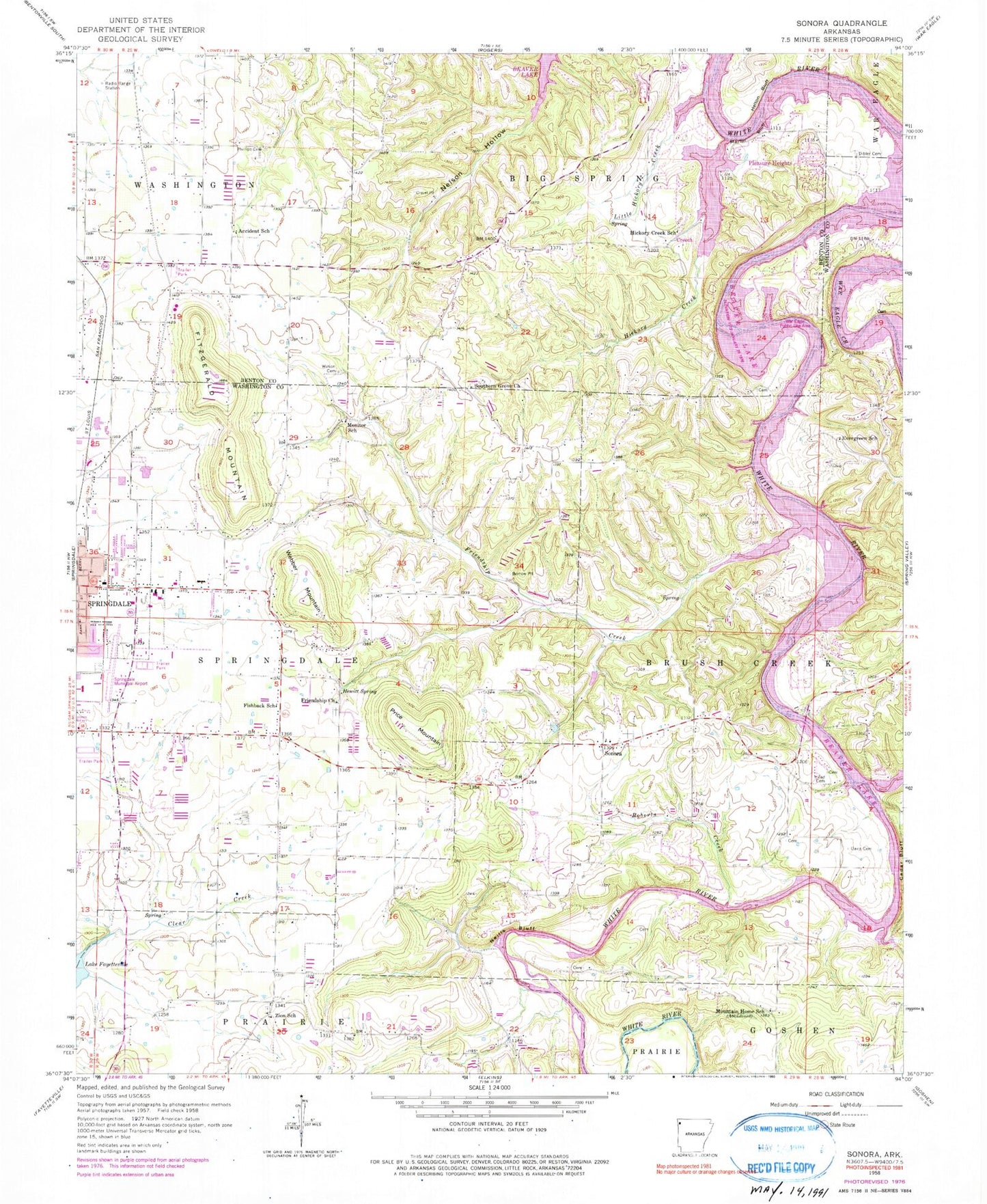
Classic USGS Sonora Arkansas 7.5'x7.5' Topo Map
Couldn't load pickup availability
Historical USGS topographic quad map of Sonora in the state of Arkansas. Map scale may vary for some years, but is generally around 1:24,000. Print size is approximately 24" x 27"
This quadrangle is in the following counties: Benton, Washington.
The map contains contour lines, roads, rivers, towns, and lakes. Printed on high-quality waterproof paper with UV fade-resistant inks, and shipped rolled.
Contains the following named places: Accident, Accident School, Bayyari Elementary School, Beav-O-Rama, Bland Ferry, Blue Springs, Blue Springs Use Area, Blue Springs Village, Bobby Hopper Park, Cedar Bluff, Circle S Farms Airport, Creech, Davis Cemetery, Dibler Cemetery, Eastside Youth Center, Elmdale Shopping Center, Evergreen School, Fishback School, Fitzgerald Mountain, Friendship Baptist Church, Friendship Creek, Friendship School, Gibson Ford, Goshen Fire Department Station 2, Harp Elementary School, Harp Mountain, Head Cemetery, Head Ford, Helton Bluff, Helton Ford, Hewitt Spring, Hickory Creek, Hickory Creek Baptist Church, Hickory Creek Cemetery, Hickory Creek School, Hickory Creek Volunteer Fire Department, J O Kelly Middle School, Jones Elementary School, KCIZ-FM (Springdale), KFAA-TV (Rogers), KQXK-AM (Springdale), Lake Fayetteville Park, Little Hickory Creek, Martin Bluff, Mill Hollow, Monitor School, Mountain Home School, Neills Bluff, Neills Bluff Ford, Nob Hill Fire Department Station 2, Nob Hill Fire Station 3, Northwest Arkansas Vocational-Technical School, Parsons Hills Elementary School, Pentecostal Church of God, Phillips Cemetery, Pleasure Heights, Price Mountain, Roberts Creek, Rochelle Riviera, Sonora, Sonora Baptist Church, Southern Grove Baptist Church, Springdale Fire Department Station 5, Springdale Municipal Airport, Tenenbaum Lake, Tenenbaum Lake Dam, Township of Springdale, Vista Health Fayetteville, War Eagle Public Use Area, Webber Mountain, Wilson Cemetery, Zion Church, Zion School, ZIP Codes: 72745, 72764


