MyTopo
Classic USGS Soo NE Montana 7.5'x7.5' Topo Map
Regular price
$16.95
Regular price
Sale price
$16.95
Unit price
per
Couldn't load pickup availability
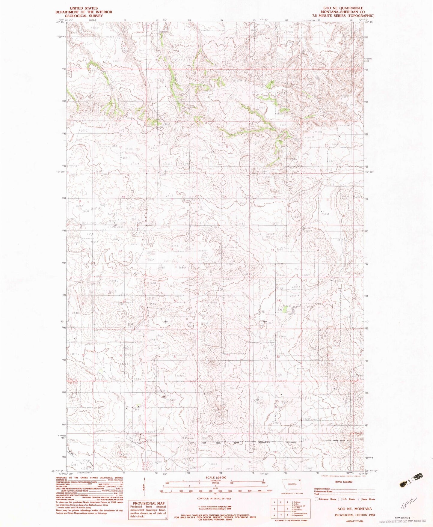
Historical USGS topographic quad map of Soo NE in the state of Montana. Map scale may vary for some years, but is generally around 1:24,000. Print size is approximately 24" x 27"
This quadrangle is in the following counties: Sheridan.
The map contains contour lines, roads, rivers, towns, and lakes. Printed on high-quality waterproof paper with UV fade-resistant inks, and shipped rolled.
Contains the following named places: 33N53E02BCBC01 Well, 33N53E07AABA01 Well, 34N52E13CDDC01 Well, 34N53E10DDDC01 Well, 34N53E15DCDD01 Well, 34N53E28DCBA01 Well, Courtney School, Leet School, Two Tree School, Welliver Post Office, Welliver School