MyTopo
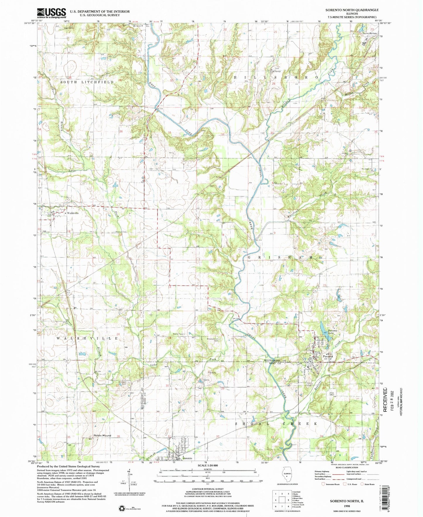
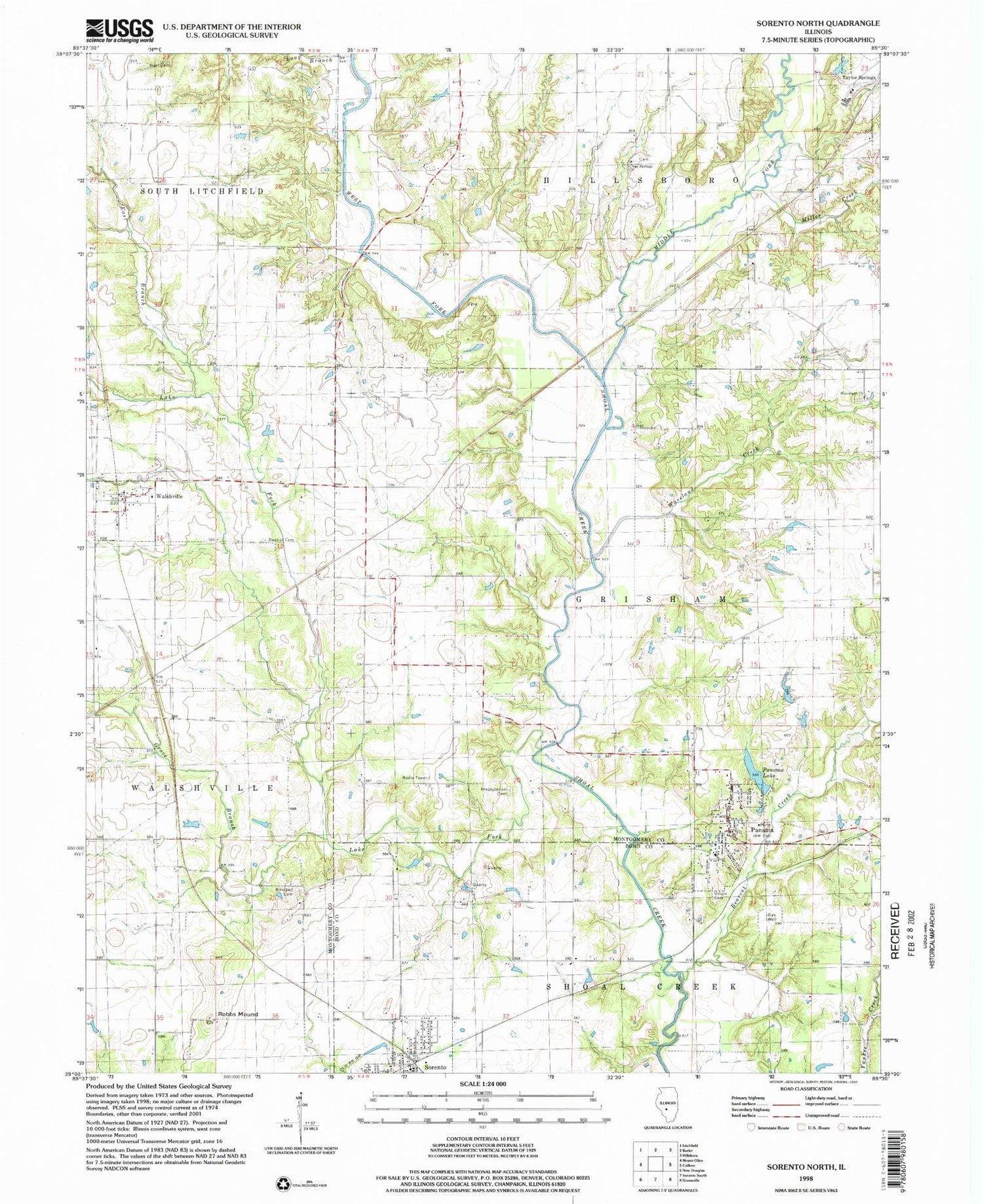
Classic USGS Sorento North Illinois 7.5'x7.5' Topo Map
Couldn't load pickup availability
Historical USGS topographic quad map of Sorento North in the state of Illinois. Map scale may vary for some years, but is generally around 1:24,000. Print size is approximately 24" x 27"
This quadrangle is in the following counties: Bond, Montgomery.
The map contains contour lines, roads, rivers, towns, and lakes. Printed on high-quality waterproof paper with UV fade-resistant inks, and shipped rolled.
Contains the following named places: Auburn School, Bearcat Creek, Cherry Grove School, Clear Springs Cemetery, Clear Springs Church, East Branch Lake Fork, Grove Branch, Hampton School, Harry Sampsons Lake, Harry Sampsons Lake Dam, Hart Cemetery, Kessinger School, Kirkland Cemetery, Kirkland School, Lake Fork, Lake Glenn Shoals, Lake Glenn Shoals Dam, Long Branch, Middle Fork, Middle Fork Shoal Creek, Miller Creek, Missimore School, Panama, Panama Lake, Panama Lake Dam, Panama Post Office, Pleasant View School, Prospect School, Rankin Presbyterian Cemetery, Robbs Mound, Root School, Shoal Creek Fire Protection District Station 1, Shoal Creek Fire Protection District Station 2, Simpson School, Sorento Post Office, Township of Grisham, Union Cemetery, Village of Panama, Village of Sorento, Village of Walshville, Walshville, Walshville Baptist Cemetery, Waveland Cemetery, Waveland Church, Waveland Creek, West Fork Shoal Creek, ZIP Codes: 62077, 62091