MyTopo
Classic USGS Sorento South Illinois 7.5'x7.5' Topo Map
Couldn't load pickup availability
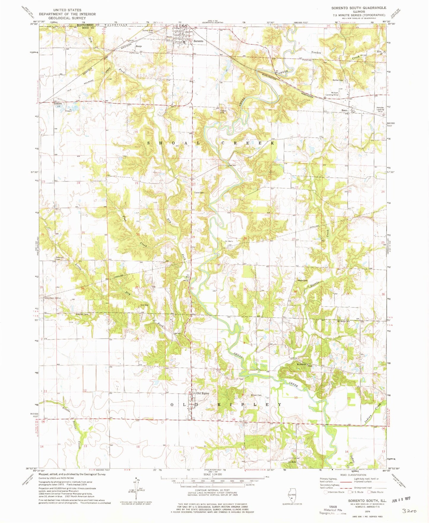
Historical USGS topographic quad map of Sorento South in the state of Illinois. Map scale may vary for some years, but is generally around 1:24,000. Print size is approximately 24" x 27"
This quadrangle is in the following counties: Bond, Montgomery.
The map contains contour lines, roads, rivers, towns, and lakes. Printed on high-quality waterproof paper with UV fade-resistant inks, and shipped rolled.
Contains the following named places: Blackjack School, Brick School, Brown Cemetery, Bunje, Coyle Cemetery, Dorris Creek, Dry Fork, Elm Point Branch, Flat Creek, Gilmore, Indian Creek, Little Brick School, Little Dry Fork, Mitchell Cemetery, Mount Nebo Church, Nance Airport, New Mount Nebo Cemetery, Old Nebo Cemetery, Old Ripley, Peterson Cemetery, Pin Oak School, Pleasant Prairie Post Office, Pocahontas - Old Ripley Fire Protection District Station 2, Ray School, Reno, Reno Bethel Cemetery, Round Prairie School, Smith School, Sorento, Sorento Elementary School, Sorento Reservoir, Sorento Reservoir Dam, Sunny Side Cemetery, Terrapin Ridge School, Tisdale Cemetery, Township of Old Ripley, Township of Shoal Creek, Village of Old Ripley, Wade Cemetery, Willis School, Yankee Creek, ZIP Code: 62086