
MyTopo
Classic USGS Sorum SE South Dakota 7.5'x7.5' Topo Map
Regular price
$16.95
Regular price
Sale price
$16.95
Unit price
per
Couldn't load pickup availability
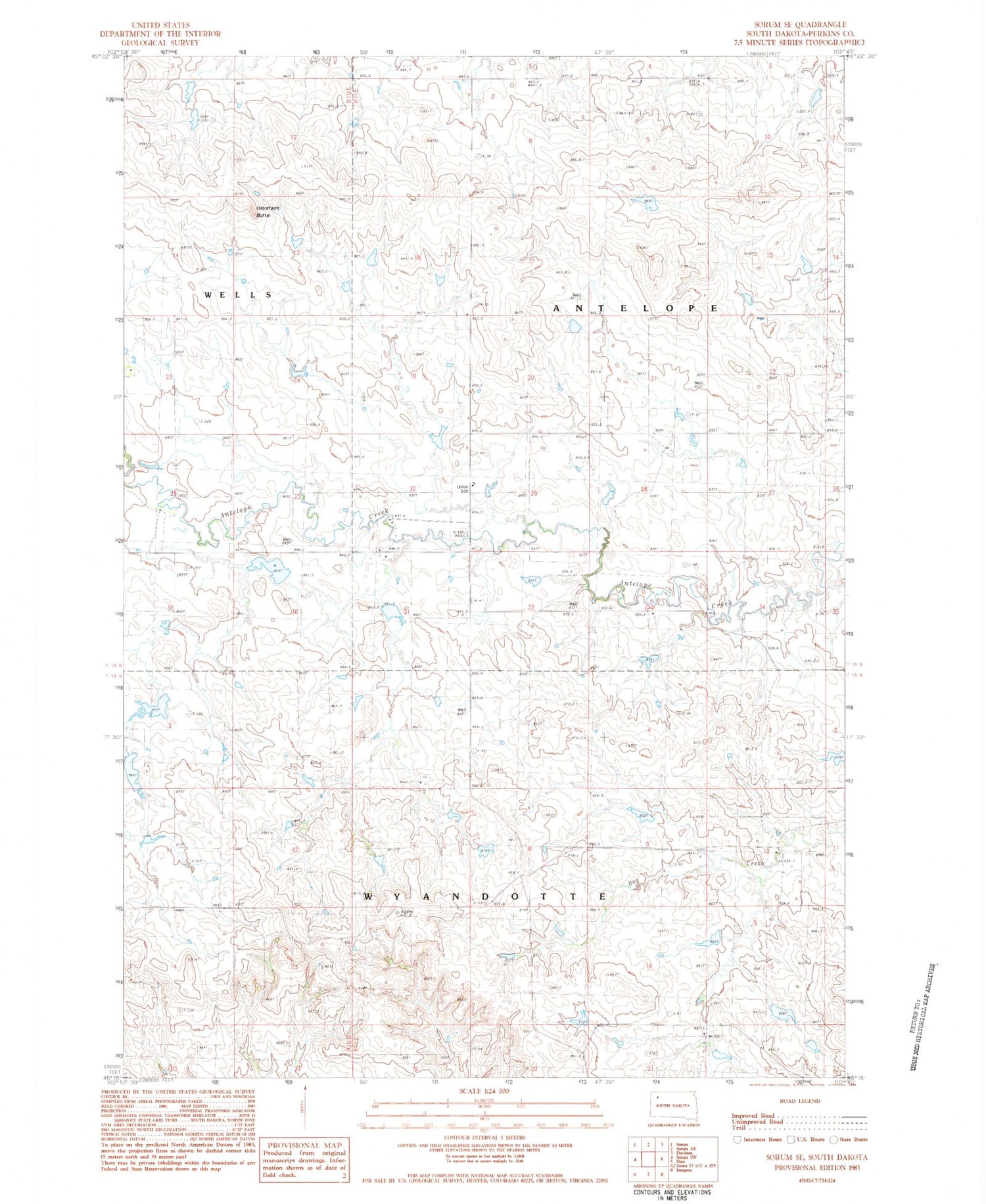
Historical USGS topographic quad map of Sorum SE in the state of South Dakota. Map scale may vary for some years, but is generally around 1:24,000. Print size is approximately 24" x 27"
This quadrangle is in the following counties: Perkins.
The map contains contour lines, roads, rivers, towns, and lakes. Printed on high-quality waterproof paper with UV fade-resistant inks, and shipped rolled.
Contains the following named places: Endlee School, Haystack Butte, Herman Van Den Berg Dam, Leland Edwards Dam, Township of Antelope, Union School, Unorganized Territory of Wyandotte, Wyandotte Township Hall


