MyTopo
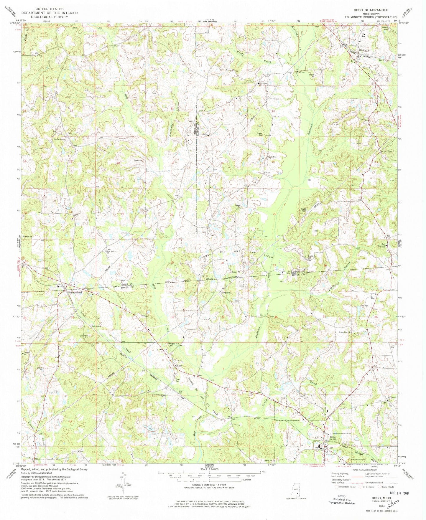
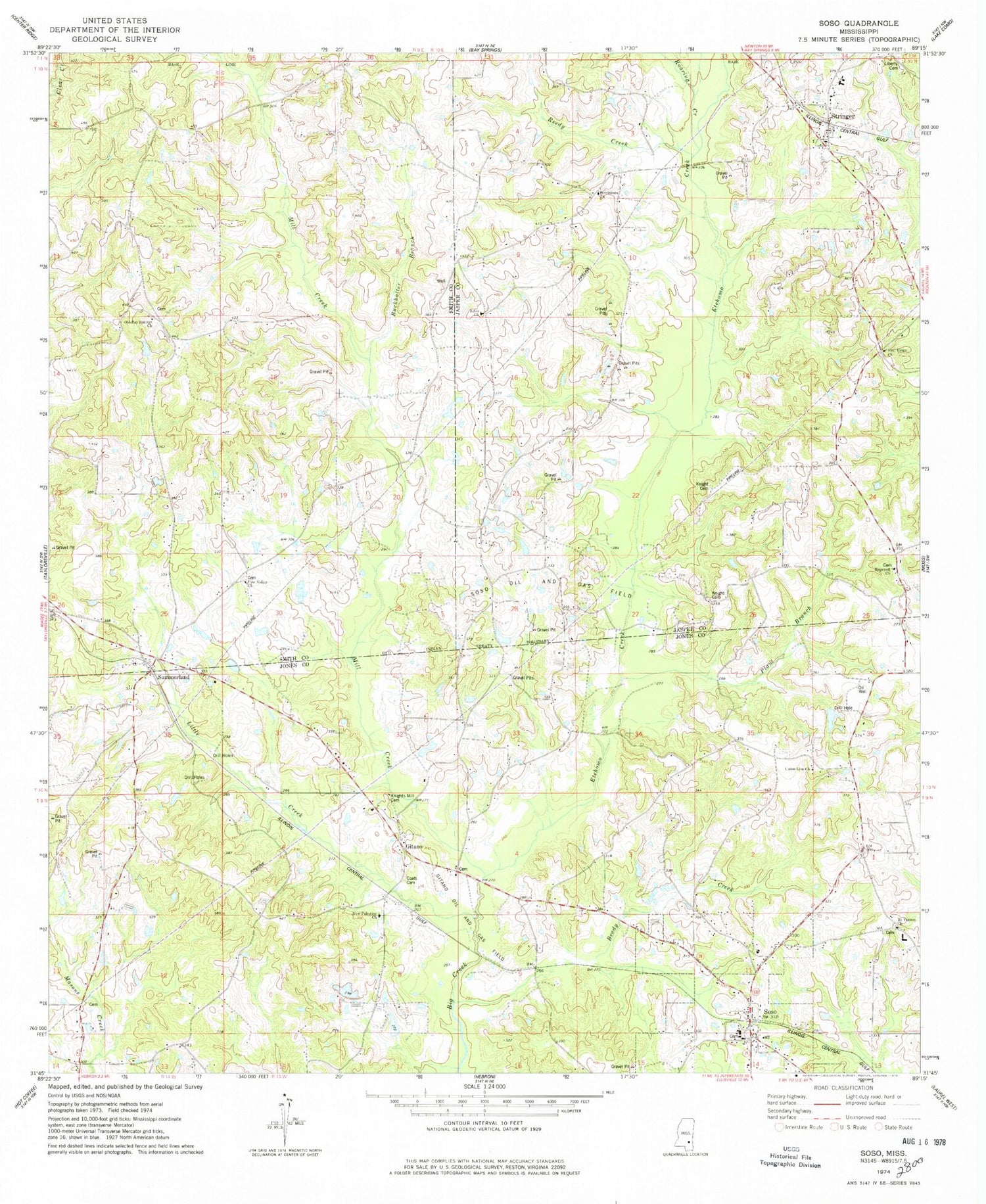
Classic USGS Soso Mississippi 7.5'x7.5' Topo Map
Couldn't load pickup availability
Historical USGS topographic quad map of Soso in the state of Mississippi. Map scale may vary for some years, but is generally around 1:24,000. Print size is approximately 24" x 27"
This quadrangle is in the following counties: Jasper, Jones, Smith.
The map contains contour lines, roads, rivers, towns, and lakes. Printed on high-quality waterproof paper with UV fade-resistant inks, and shipped rolled.
Contains the following named places: Amy, Antioch Baptist Church, Antioch Cemetery, Antioch School, Bay Springs School, Big Creek Structure 13 Dam, Big Creek Watershed 14 Dam, Brady Creek, Buckhalter Branch, Center Ridge Cemetery, Christmas Gas Pool, Clarke Watkins Lake Dam, Coats Cemetery, Eden Missionary Baptist Church, Edon Cemetery, Etehomo Creek, Fair Ridge Missionary Baptist Church, Gitano, Gitano Oil and Gas Field, Hopewell Church, James Hilbun Poultry Farm Pond Dam, King Lake Dam, Knight Cemetery, Knights Mill, Knights Mill Cemetery, Knights Mill Pond, Liberty Baptist Church Cemetery, Little Creek, Mill Creek, Mount Pleasant Church, Mount Vernon Church, New Palestine Church, Old Bay Springs Church, Paluxy Oil Pool, Phipps Poultry Farms, Pine Valley Church, Plant Branch, Providence Cemetery, Providence Primitive Baptist Church, Reedy Creek, Roaring Creek, Rodessa Oil Pool, Shellie Parker Lake Dam, Simpson, Soso, Soso Elementary School, Soso Methodist Church, Soso Oil and Gas Field, Soso Police Department, Soso Post Office, Soso Volunteer Fire Department, Stanley Gas Pool, Stringer, Stringer Attendance Center, Stringer Post Office, Stringer Volunteer Fire Department Search and Rescue, Summerland, Summerland Baptist Church, Summerland Baptist Church Cemetery, Town of Soso, Union Line Cemetery, Union Line Church, Union Line School, Wades Mill, Welch Cemetery, Woodard Store


