MyTopo
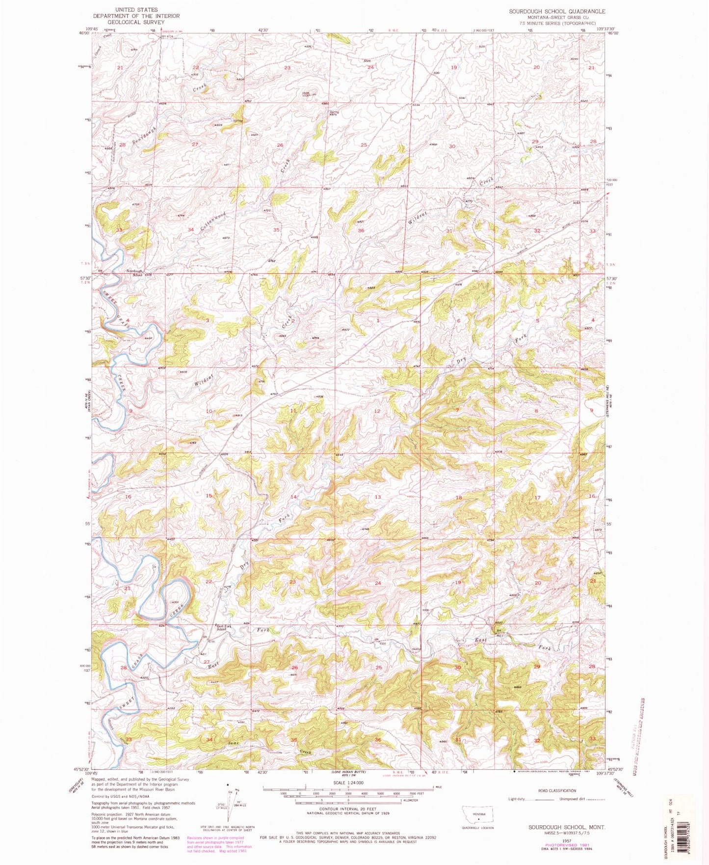
Classic USGS Sourdough School Montana 7.5'x7.5' Topo Map
Regular price
$16.95
Regular price
Sale price
$16.95
Unit price
per
Couldn't load pickup availability
Historical USGS topographic quad map of Sourdough School in the state of Montana. Map scale may vary for some years, but is generally around 1:24,000. Print size is approximately 24" x 27"
This quadrangle is in the following counties: Sweet Grass.
The map contains contour lines, roads, rivers, towns, and lakes. Printed on high-quality waterproof paper with UV fade-resistant inks, and shipped rolled.
Contains the following named places: 02N16E02____01 Well, 02N16E28____01 Well, 03N16E35DBAD01 Well, Cottonwood Creek, Dry Fork Sweet Grass Creek, East Fork School, East Fork Sweet Grass Creek, Gods Country Number 1 Dam, Sixshooter Creek, Sourdough School, Wildcat Creek