MyTopo
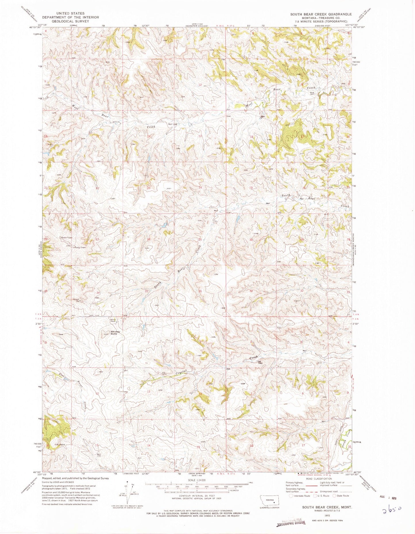
Classic USGS South Bear Creek Montana 7.5'x7.5' Topo Map
Regular price
$16.95
Regular price
Sale price
$16.95
Unit price
per
Couldn't load pickup availability
Historical USGS topographic quad map of South Bear Creek in the state of Montana. Map scale may vary for some years, but is generally around 1:24,000. Print size is approximately 24" x 27"
This quadrangle is in the following counties: Treasure.
The map contains contour lines, roads, rivers, towns, and lakes. Printed on high-quality waterproof paper with UV fade-resistant inks, and shipped rolled.
Contains the following named places: 03N36E11BDAA01 Well, 03N37E08DB__01 Well, 04N36E14ADAA01 Well, 04N36E15ADDC01 Well, Barnes Ranch, Bulldog Butte, Burnt Creek, Burnt Creek School, Maggie Anderson School, South Treasure Division, Whiskey Butte