MyTopo
Classic USGS South Boardman Michigan 7.5'x7.5' Topo Map
Couldn't load pickup availability
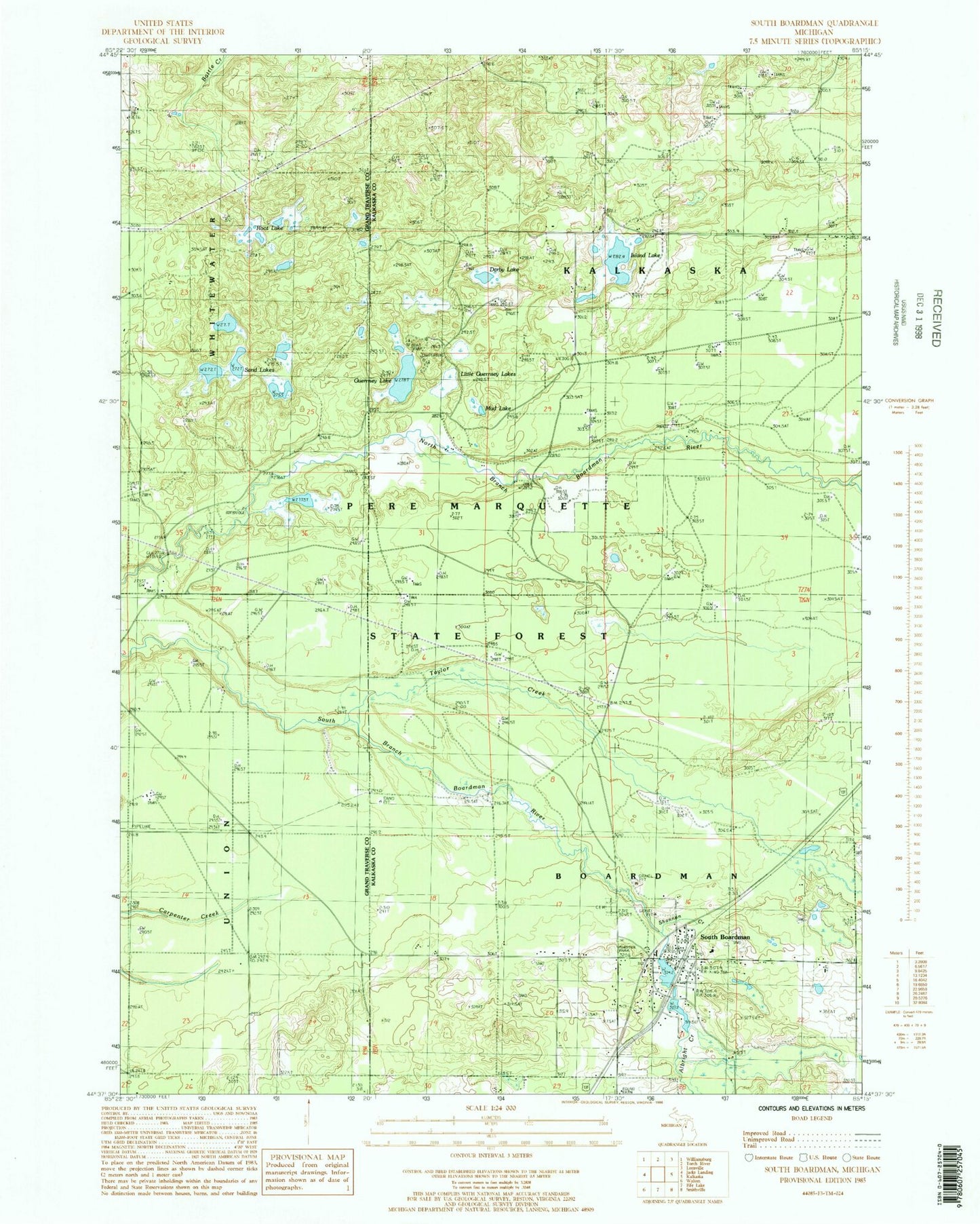
Historical USGS topographic quad map of South Boardman in the state of Michigan. Typical map scale is 1:24,000, but may vary for certain years, if available. Print size: 24" x 27"
This quadrangle is in the following counties: Grand Traverse, Kalkaska.
The map contains contour lines, roads, rivers, towns, and lakes. Printed on high-quality waterproof paper with UV fade-resistant inks, and shipped rolled.
Contains the following named places: Crofton Creek, Darby Lake, Guernsey Lake, Island Lake, Little Guernsey Lakes, Mud Lake, Root Lake, Sand Lakes, Shannon Creek, South Boardman, Taylor Creek, Township of Boardman, Guernsey Lake State Forest Campground, South Boardman Station, Mount Zion Church of God, Victory Baptist Church, South Boardman United Methodist Church, South Boardman Post Office, South Boardman Elementary School, Wellman Mill Pond, South Boardman Cemetery, Youngs Mill Pond, South Boardman Census Designated Place, Boardman Township Fire and Rescue, Albright Creek